Road Stream Crossing Site PM_M002
Pere Marquette River Watershed, Pere Marquette River
Landon Rd
Branch Twp,
Mason County
Information collected by:
Site Location
GPS Coordinates: 43.935313
, -86.050481
T18N
R15W
Sec 24
Owned by Private
Federal
Federal
Total Erosion: 3.0229 tons/year
Severity: Severe
Year Inventoried: 2014
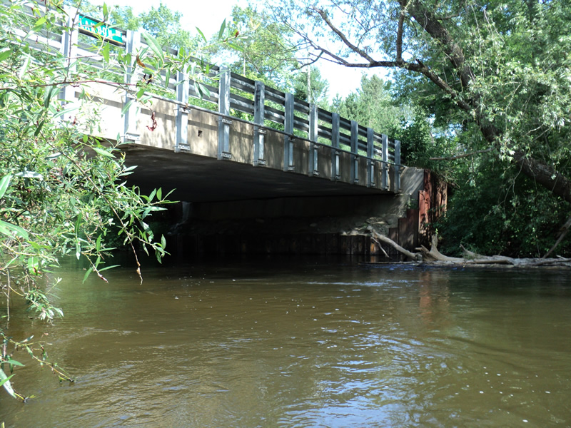
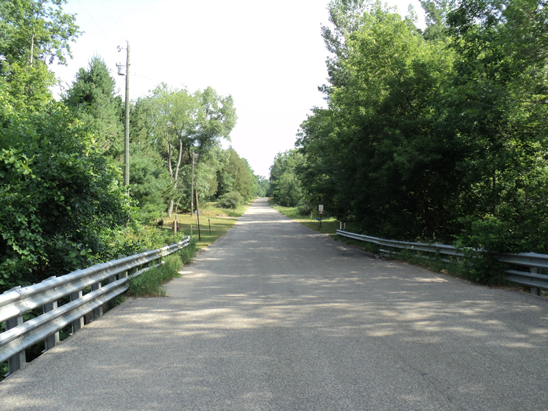
Inlet
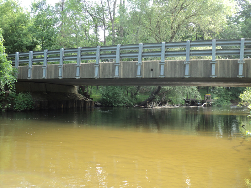
Outlet
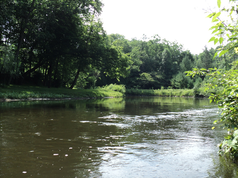
Upstream Conditions
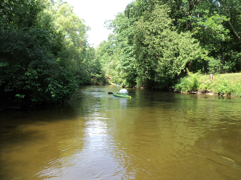
Downstream Conditions
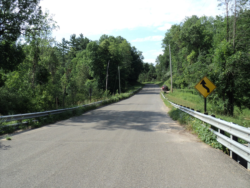
Road Approach - Left
Road Approach - Right
Crossing Information
Type of Crossing: Bridge
Structure Shape: Open Bottom Square/Rectangle
Inlet Type: Other
Outlet Type: At Stream Grade
Structure Material: Metal
Structure Substrate: Sand
General Conditions: Good
Structure Interior: corrugated
Dimensions of Structure: Length 30 ft.
, Width 76 ft.
, Height 10 ft.
Structure Inlet
Water Depth: 3.5 ft.
Water Velocity*: 2.8 ft./sec.
Structure Outlet
Water Depth: 1.7 ft.
Water Velocity*: 1.8 ft./sec.
*Water Velocities were measured 2 ft. below Surface
(with Meter)
Additional Comments
Came after recent rain.
Stream Information
Stream Flow: Less than Bankfull
Riffle Information
Water Depth: 2.4 ft.
Bankfull Width: 68 ft.
Wetted Width: 65 ft.
Water Velocity: 1.6 ft./sec.
(Measured with Meter)
Dominant Substrate: Sand
Road Information
Paved
County Road
Road Condition: Good
Road Width at Culvert: 29 ft.
Location of Low Point: At Stream
Runoff Path: Roadway
Fill Depth: 0 ft.
Slope: Vertical
Fill Depth: 0 ft.
Slope: Vertical
Approaches
Left Approach
Length: 360 ft.
Slope: More Than 10%
Vegetation: Heavy
LS Factor: 3.809
Erosion: 1.3146 tons/year
Right Approach
Length: 900 ft.
Slope: 6% to 10%
Vegetation: Heavy
LS Factor: 1.98
Erosion: 1.7084 tons/year
Erosion Information
Total Erosion at Crossing: 3.0229 tons/year
Extent of Erosion: Moderate
Location of Erosion | Erosion Dimensions | Eroded Material | Material Eroded | Total Erosion | ||
facing downstream | Length | Width | Depth | Reaching Stream? | (tons/year) | |
Right Upstream Embankment |
no |
|||||
Summary Information
Erosion is an area of concern for this site.
�