Road Stream Crossing Site PM_M006
Pere Marquette River Watershed, Big South Branch Pere Marquette
Wilson Rd
Custer Twp,
Mason County
Information collected by:
Site Location
GPS Coordinates: 43.918298
, -86.178433
T18N
R16W
Sec 25
Owned by Federal
Fish Passability 1
Structure is NOT Perched
Total Erosion: 0.2473 tons/year
Severity: Minor
Year Inventoried: 2014
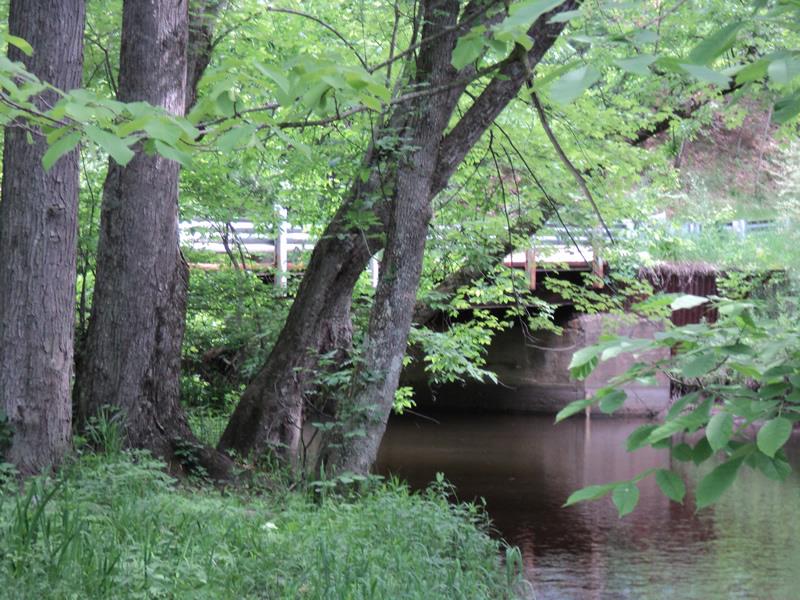
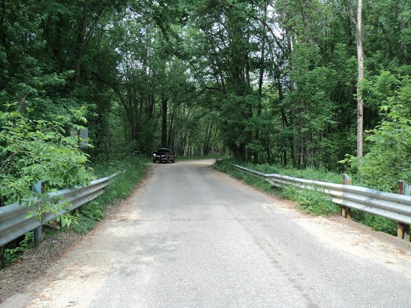
Inlet
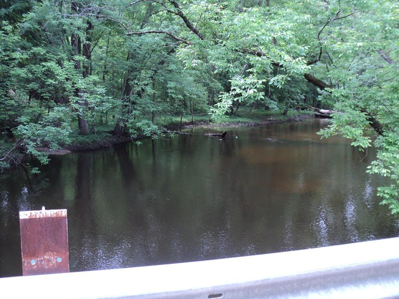
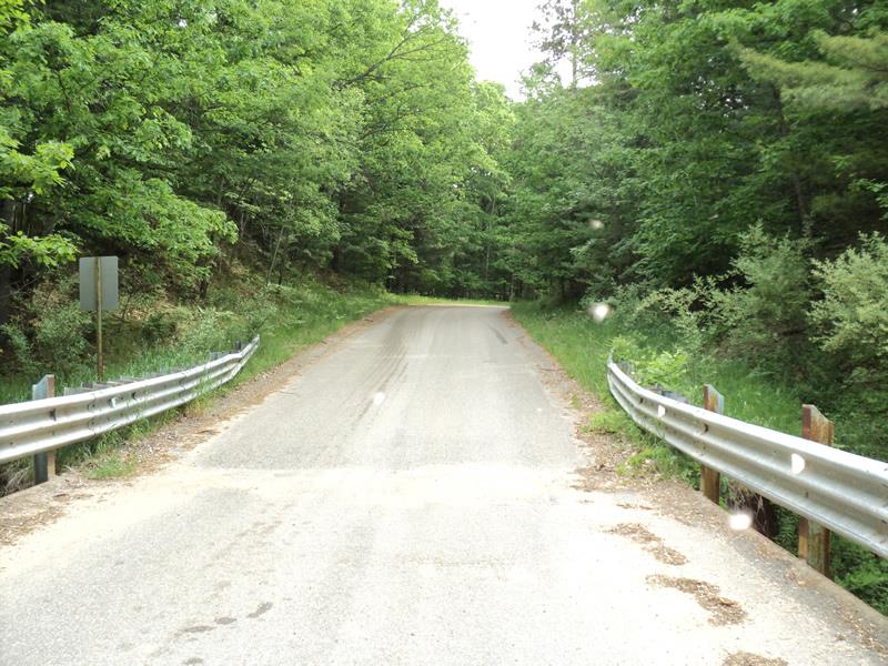
Outlet
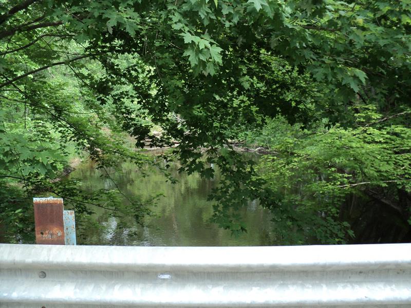
Upstream Conditions
Downstream Conditions
Road Approach - Left
Road Approach - Right
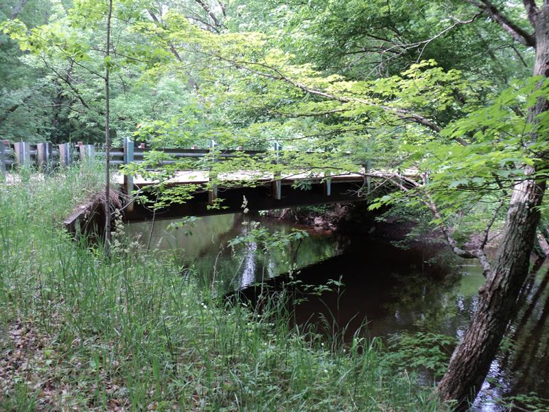
Crossing Information
Type of Crossing: Bridge
Structure Shape: Open Bottom Square/Rectangle
Inlet Type: Other
Outlet Type: Other
Structure Material: Concrete
Structure Substrate: Gravel
General Conditions: Good
Structure Interior: smooth
Dimensions of Structure: Length 20 ft.
, Width 60 ft.
, Height 14 ft.
Structure is NOT Perched
Structure Inlet
Water Depth: 3.8 ft.
Embedded Depth of Structure: 0 ft.
Water Velocity*: 0.4 ft./sec.
Structure Outlet
Water Depth: 3.4 ft.
Embedded Depth of Structure: 0 ft.
Water Velocity*: 0.7 ft./sec.
*Water Velocities were measured 1 ft. below Surface
(with Meter)
Stream Information
Stream Flow: Less than Bankfull
Scour Pool: Length 0 ft.
, Width 0 ft.
, Depth 0 ft.
Upstream Pond: Length 0 ft.
, Width 0 ft.
, Depth 0 ft.
Riffle Information
Water Depth: 4 ft.
Bankfull Width: 70 ft.
Wetted Width: 60 ft.
Water Velocity: 0.6 ft./sec.
(Measured with Meter)
Dominant Substrate: Gravel
Road Information
Paved
County Road
Road Condition: Good
Road Width at Culvert: 20 ft.
Location of Low Point: Other
Runoff Path: Roadway
Fill Depth: 0 ft.
Slope: Vertical
Fill Depth: 0 ft.
Slope: Vertical
Approaches
Left Approach
Length: 0 ft.
Slope: Less Than 1%
Vegetation: Heavy
LS Factor: 0.05
Erosion: 0 tons/year
Right Approach
Length: 275 ft.
Slope: 6% to 10%
Vegetation: Heavy
LS Factor: 1.36
Erosion: 0.2473 tons/year
Erosion Information
Total Erosion at Crossing: 0.2473 tons/year
Summary Information
Fish Passability 1
�