Road Stream Crossing Site PM_M007
Pere Marquette River Watershed, Big South Branch Pere Marquette
Anthony Rd
Logan Twp,
Mason County
Information collected by:
Site Location
GPS Coordinates: 43.844831082156
, -86.075488999486
T17N
R15W
Sec 23
Owned by Private
Federal
Federal
Total Erosion: 0.2982 tons/year
Severity: Moderate
Year Inventoried: 2014
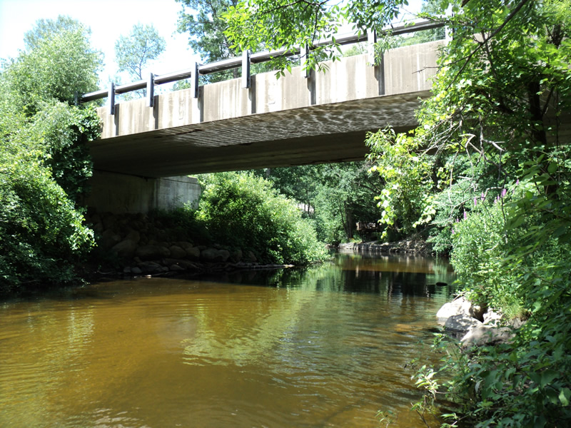
Inlet
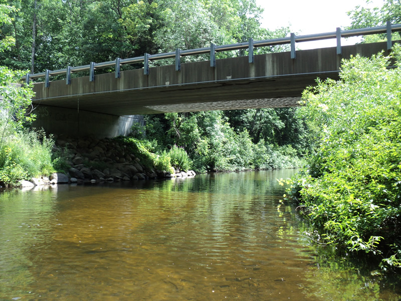
Outlet
Upstream Conditions
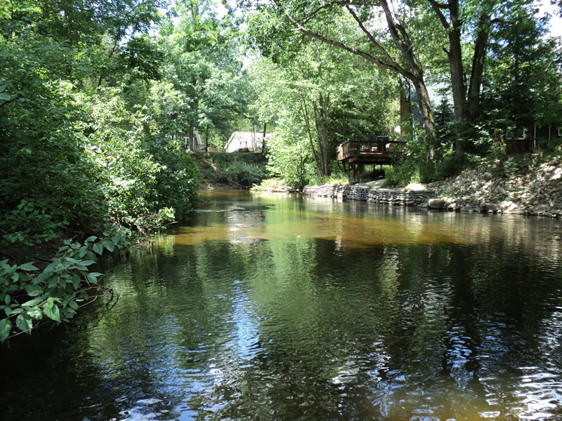
Downstream Conditions
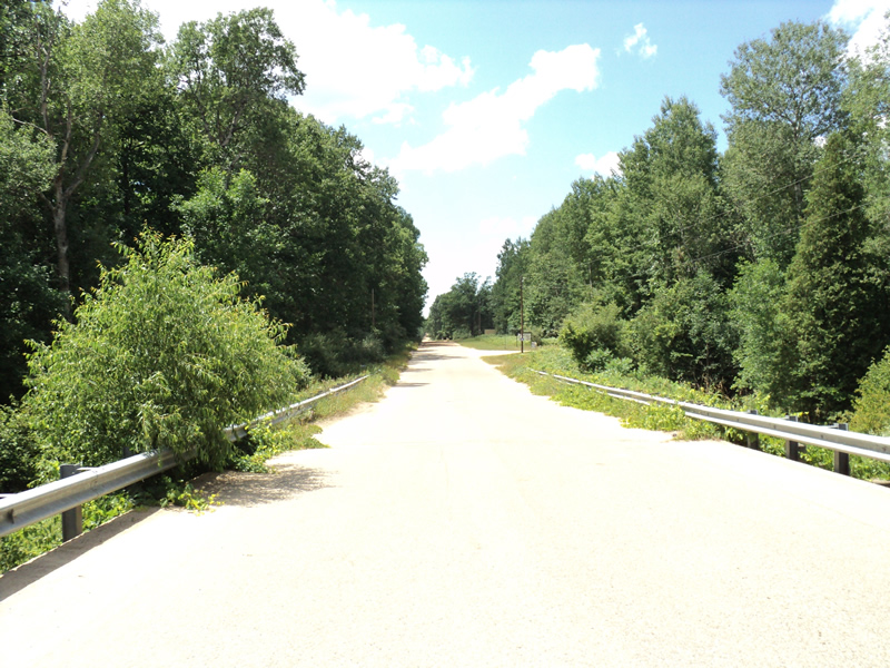
Road Approach - Left
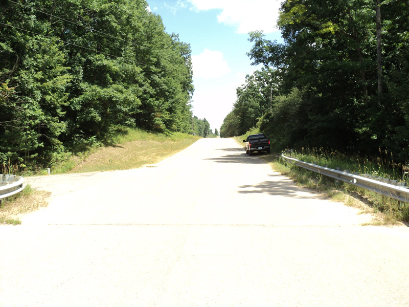
Road Approach - Right
Crossing Information
Type of Crossing: Bridge
Structure Shape: Open Bottom Square/Rectangle
Inlet Type: Projecting
Outlet Type: At Stream Grade
Structure Material: Concrete
Structure Substrate: Mixture
General Conditions: Good
Structure Interior: smooth
Dimensions of Structure: Length 30 ft.
, Width 85 ft.
, Height 19 ft.
Structure Inlet
Water Depth: 2.6 ft.
Water Velocity*: 1.2 ft./sec.
Structure Outlet
Water Depth: 2.5 ft.
Water Velocity*: 1.1 ft./sec.
*Water Velocities were measured 2 ft. below Surface
(with Meter)
Stream Information
Stream Flow: Less than 1/2 Bankfull
Riffle Information
Water Depth: 2 ft.
Bankfull Width: 44 ft.
Wetted Width: 39 ft.
Water Velocity: 1.9 ft./sec.
(Measured with Meter)
Dominant Substrate: Cobble
Road Information
Paved
County Road
Road Condition: Good
Road Width at Culvert: 30 ft.
Location of Low Point: At Stream
Runoff Path: Roadway
Slope: Vertical
Slope: Vertical
Approaches
Left Approach
Length: 400 ft.
Slope: 1% to 5%
Vegetation: Heavy
LS Factor: 0.48
Erosion: 0.1904 tons/year
Right Approach
Length: 240 ft.
Slope: 1% to 5%
Vegetation: Heavy
LS Factor: 0.438
Erosion: 0.1043 tons/year
Erosion Information
Total Erosion at Crossing: 0.2982 tons/year
Extent of Erosion: Minor
Notes:
access trail
Location of Erosion | Erosion Dimensions | Eroded Material | Material Eroded | Total Erosion | ||
facing downstream | Length | Width | Depth | Reaching Stream? | (tons/year) | |
Right Downstream Streambank |
2 ft. |
2 ft. |
2 ft. |
yes |
Loam |
0.0035 |
Summary Information
Erosion is an area of concern for this site.
�