Road Stream Crossing Site PM_M012
Pere Marquette River Watershed, Carr Creek tributary
Hawley Rd
Logan Twp,
Mason County
Information collected by:
Site Location
GPS Coordinates: 43.87349
, -86.0448
T17N
R15W
Sec 12
Owned by Private
Total Erosion: 0.1668 tons/year
Severity: Moderate
Year Inventoried: 2014
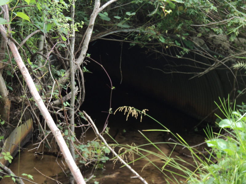
Inlet
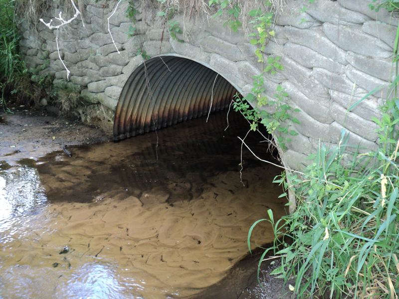
Outlet
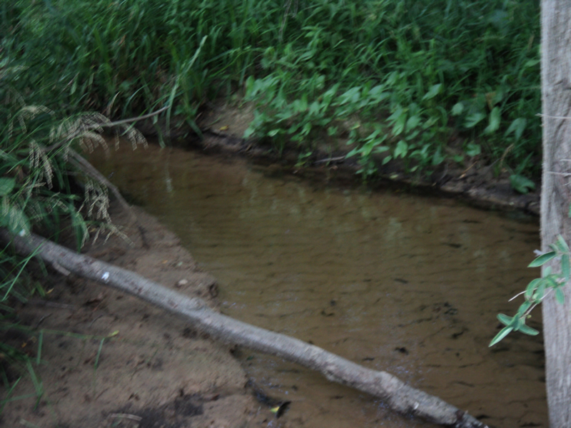
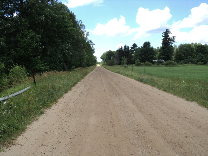
Upstream Conditions
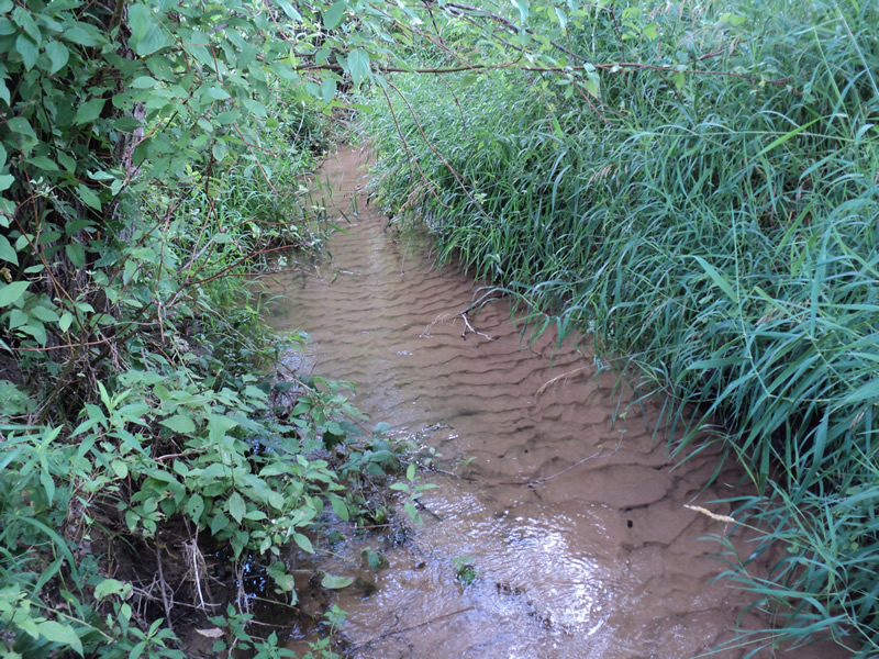
Downstream Conditions
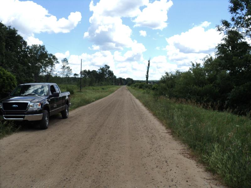
Road Approach - Left
Road Approach - Right
Crossing Information
Type of Crossing: culvert(s)
Number of Structures: 1
Structure Shape: Pipe Arch
Inlet Type: Headwall
Outlet Type: At Stream Grade
Structure Material: Metal
Structure Substrate: Sand
General Conditions: Good
Structure Interior: corrugated
Dimensions of Structure: Length 46 ft.
, Width 7 ft.
, Height 4.5 ft.
Percentage Plugged:
Inlet: 0%
Outlet: 0%
In Pipe: 1% to 25%
Structure Inlet
Water Depth: 0.2 ft.
Embedded Depth of Structure: 0.5 ft.
Water Velocity*: 0.7 ft./sec.
Structure Outlet
Water Depth: 0.1 ft.
Embedded Depth of Structure: 0.5 ft.
Water Velocity*: 0.7 ft./sec.
*Water Velocities were measured at the Surface
(with Meter)
Stream Information
Stream Flow: Less than 1/2 Bankfull
Riffle Information
Water Depth: 0.1 ft.
Bankfull Width: 10 ft.
Wetted Width: 7 ft.
Water Velocity: 0.7 ft./sec.
(Measured with Meter)
Dominant Substrate: Sand
Road Information
Gravel
County Road
Road Condition: Good
Road Width at Culvert: 18 ft.
Location of Low Point: Other
Runoff Path: Ditch
Embankments
Upstream
Fill Depth: 4 ft.
Slope: 1:1.5
Downstream
Fill Depth: 3 ft.
Slope: 1:1.5
Approaches
Left Approach
Length: 150 ft.
Slope: Less Than 1%
Vegetation: Heavy
LS Factor: 0.05
Erosion: 0.0372 tons/year
Right Approach
Length: 150 ft.
Slope: Less Than 1%
Vegetation: Heavy
LS Factor: 0.05
Erosion: 0.0372 tons/year
Erosion Information
Total Erosion at Crossing: 0.1668 tons/year
Extent of Erosion: Moderate
Location of Erosion | Erosion Dimensions | Eroded Material | Material Eroded | Total Erosion | ||
facing downstream | Length | Width | Depth | Reaching Stream? | (tons/year) | |
Left Downstream Streambank |
10 ft. |
1.5 ft. |
1.5 ft. |
yes |
Loam |
0.0924 |
Summary Information
Erosion is an area of concern for this site.
�