Road Stream Crossing Site CHAR_EV02
Lake Charlevoix Watershed, Sears Creek
Holy Island Rd
Eveline Twp,
Charlevoix County
Information collected by:
Site Location
GPS Coordinates: 45.23455
, -85.18935
T33N
R07W
Sec 20
Owned by Private
Fish Passability 0.9
Structure is NOT Perched
Total Erosion: 6.6347 tons/year
Severity: Severe
Year Inventoried: 2011
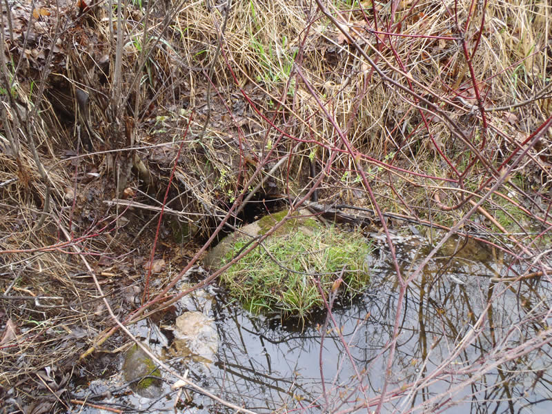
Inlet
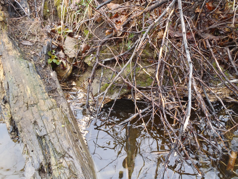
Outlet
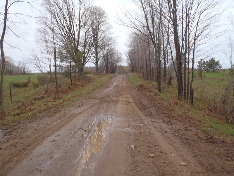
Upstream Conditions
Downstream Conditions
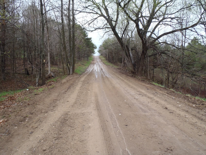
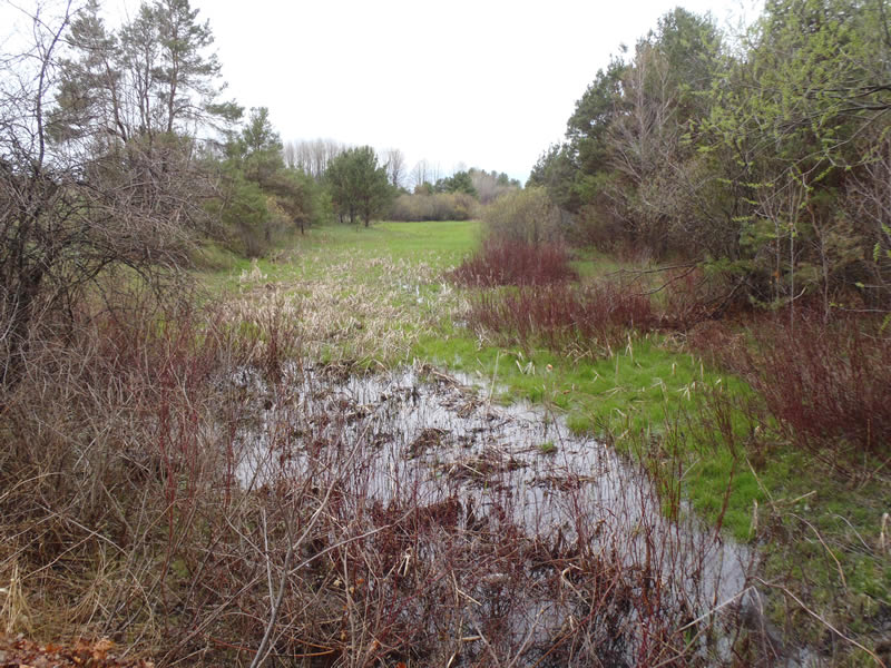
Road Approach - Left
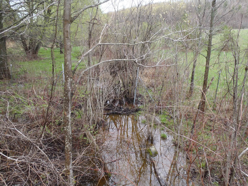
Road Approach - Right
Crossing Information
Type of Crossing: culvert(s)
Number of Structures: 1
Structure Shape: Round
Inlet Type: Projecting
Outlet Type: At Stream Grade
Structure Material: Concrete
Structure Substrate: Mixture
General Conditions: Poor
Structure Interior: smooth
Dimensions of Structure: Length 30 ft.
, Width 1.5 ft.
, Height 1.5 ft.
Structure is NOT Perched
Structure Inlet
Water Depth: 1.37 ft.
Embedded Depth of Structure: 0.05 ft.
Water Velocity*: 0.05 ft./sec.
Structure Outlet
Water Depth: 1.35 ft.
Embedded Depth of Structure: 0.05 ft.
Water Velocity*: 0.05 ft./sec.
*Water Velocities were measured 0.75 ft. below Surface
(with Meter)
Additional Comments
End sections of culvert show signs of concrete failing
Stream Information
Stream Flow: More than Bankfull
Scour Pool: Length 10 ft.
, Width 6 ft.
, Depth 1.6 ft.
Upstream Pond: Length 100 ft.
, Width 38 ft.
Riffle Information
Water Depth: 1.37 ft.
Bankfull Width: 2 ft.
Wetted Width: 6 ft.
Water Velocity: 0.5 ft./sec.
(Measured with Meter)
Dominant Substrate: Organics
Road Information
Sand
County Road
Road Condition: Fair
Road Width at Culvert: 18 ft.
Location of Low Point: At Stream
Runoff Path: Ditch
Embankments
Upstream
Fill Depth: 5.5 ft.
Slope: Vertical
Downstream
Fill Depth: 8.5 ft.
Slope: Vertical
Approaches
Left Approach
Length: 495 ft.
Slope: 6% to 10%
Vegetation: Partial
LS Factor: 2.239
Erosion: 5.4957 tons/year
Right Approach
Length: 387 ft.
Slope: 1% to 5%
Vegetation: Partial
LS Factor: 0.594
Erosion: 1.1389 tons/year
Erosion Information
Total Erosion at Crossing: 6.6347 tons/year
Summary Information
Fish Passability 0.9
�