Road Stream Crossing Site PM_M018
Pere Marquette River Watershed, Pere Marquette River
Scottville Rd
Custer Twp,
Mason County
Information collected by:
Site Location
GPS Coordinates: 43.94503
, -86.27946
T18N
R16W
Sec 19
Owned by Local Government
Total Erosion: 1.7025 tons/year
Severity: Moderate
Year Inventoried: 2014
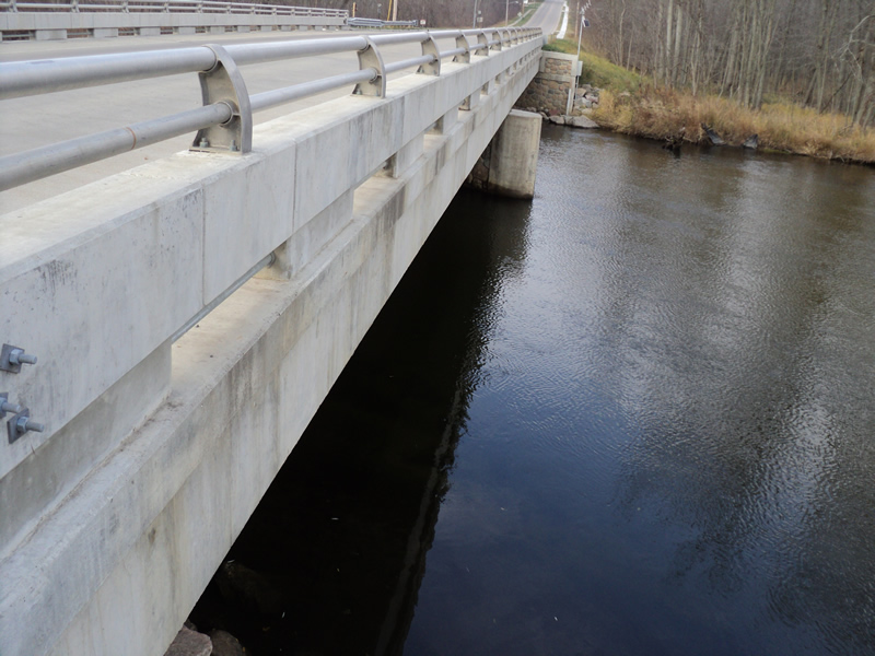
Inlet
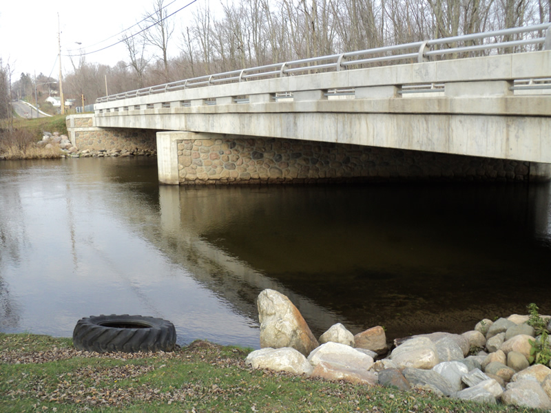
Outlet
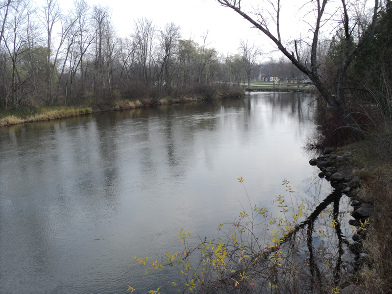
Upstream Conditions
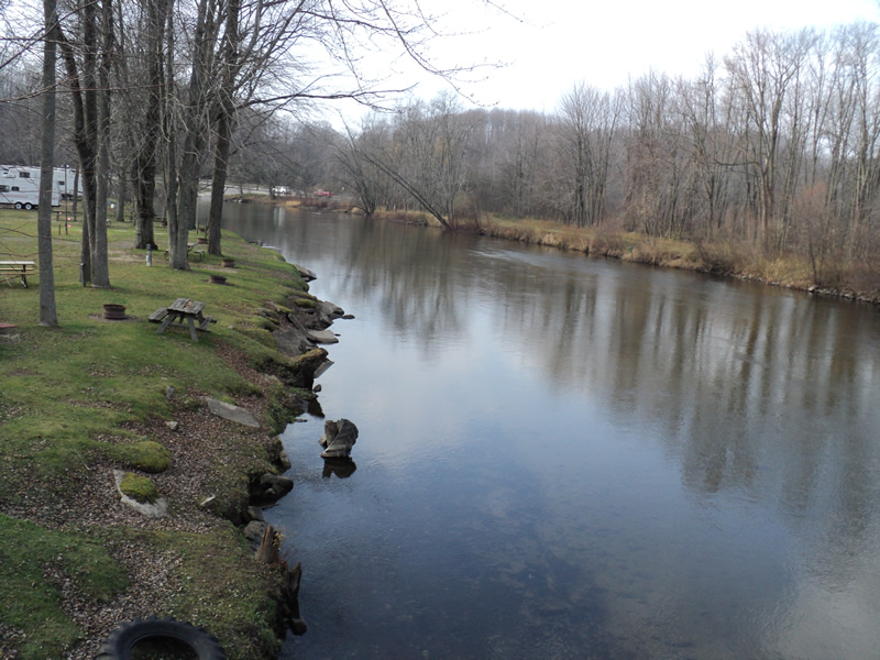
Downstream Conditions
Road Approach - Left
Road Approach - Right
Crossing Information
Type of Crossing: Bridge
Structure Shape: Open Bottom Square/Rectangle
Inlet Type: Other
Outlet Type: At Stream Grade
Structure Material: Concrete
Structure Substrate: Mixture
General Conditions: Good
Structure Interior: smooth
Dimensions of Structure: Length 160 ft.
, Width 40 ft.
, Height 12 ft.
Additional Comments
Water depths and flows were not measured-river is deep and fast.
Stream Information
Stream Flow: Less than Bankfull
Dominant Substrate: Organics
Road Information
Paved
County Road
Road Condition: Good
Road Width at Culvert: 40 ft.
Location of Low Point: Other
Runoff Path: Roadway
Fill Depth: 0 ft.
Slope: Vertical
Fill Depth: 0 ft.
Slope: Vertical
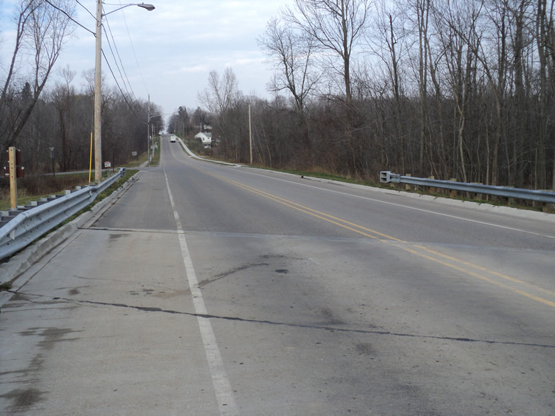
Approaches
Left Approach
Length: 200 ft.
Slope: Less Than 1%
Vegetation: Heavy
LS Factor: 0.05
Erosion: 0.0132 tons/year
Right Approach
Length: 700 ft.
Slope: 6% to 10%
Vegetation: Heavy
LS Factor: 1.825
Erosion: 1.6893 tons/year
Erosion Information
Total Erosion at Crossing: 1.7025 tons/year
Extent of Erosion: Minor
Summary Information
Erosion is an area of concern for this site.
�