Road Stream Crossing Site PM_M020
Pere Marquette River Watershed, inlet tributary to Big South Branch
Anthony Rd
Logan Twp,
Mason County
Information collected by:
Site Location
GPS Coordinates: 43.84479
, -86.06232
T17N
R15W
Sec 23
Owned by Private
Total Erosion: 6.0677 tons/year
Severity: Severe
Year Inventoried: 2014
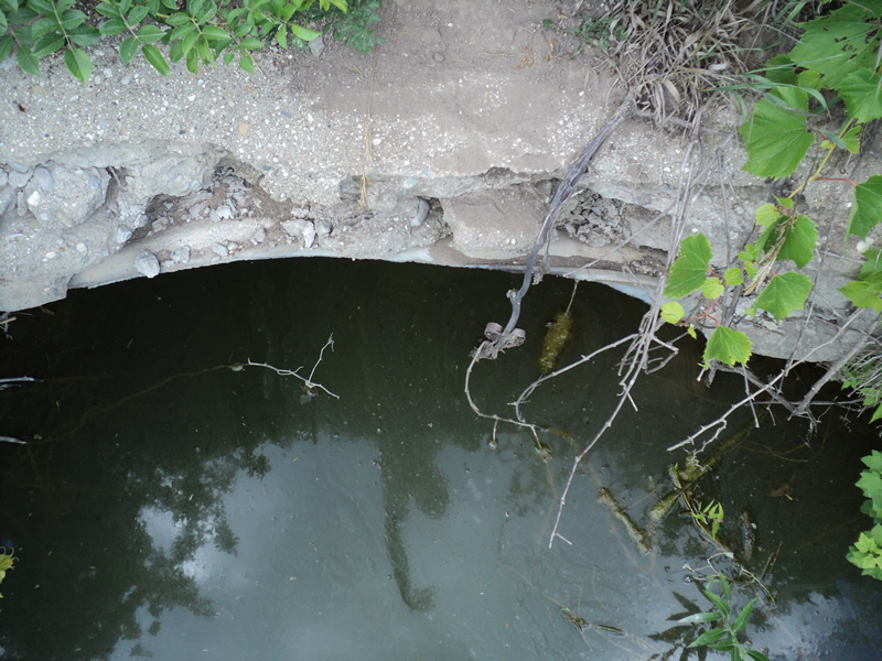
Inlet
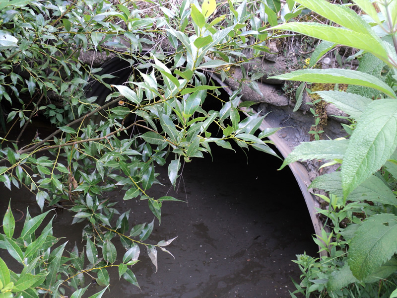
Outlet
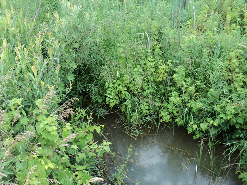
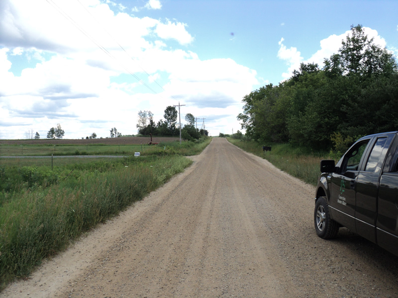
Upstream Conditions
Downstream Conditions
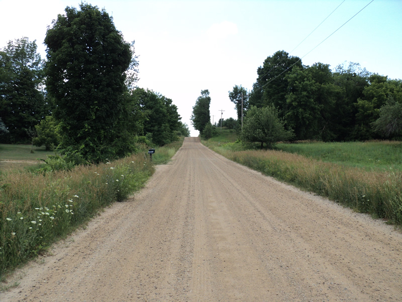
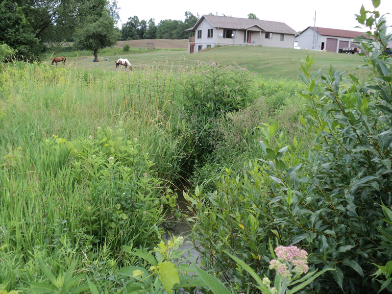
Road Approach - Left
Road Approach - Right
Crossing Information
Type of Crossing: culvert(s)
Number of Structures: 1
Structure Shape: Pipe Arch
Inlet Type: Headwall
Outlet Type: At Stream Grade
Structure Material: Metal
Structure Substrate: Mixture
General Conditions: Fair
Structure Interior: corrugated
Dimensions of Structure: Length 43 ft.
, Width 4.5 ft.
, Height 3.5 ft.
Structure Inlet
Water Depth: 1.9 ft.
Water Velocity*: 0 ft./sec.
Structure Outlet
Water Depth: 1.6 ft.
Water Velocity*: 0 ft./sec.
*Water Velocities were measured at the Surface
(with Meter)
Stream Information
Stream Flow: None
Riffle Information
Water Depth: 0 ft.
Water Velocity: 0 ft./sec.
Road Information
Gravel
County Road
Road Condition: Good
Road Width at Culvert: 20 ft.
Location of Low Point: At Stream
Runoff Path: Roadway
Embankments
Upstream
Fill Depth: 0.5 ft.
Slope: More than 1:2
Downstream
Fill Depth: 0.5 ft.
Slope: More than 1:2
Approaches
Left Approach
Length: 510 ft.
Slope: 6% to 10%
Vegetation: Heavy
LS Factor: 1.646
Erosion: 4.6237 tons/year
Right Approach
Length: 520 ft.
Slope: 1% to 5%
Vegetation: Heavy
LS Factor: 0.504
Erosion: 1.444 tons/year
Erosion Information
Total Erosion at Crossing: 6.0677 tons/year
Summary Information
�