Road Stream Crossing Site PM_M024
Pere Marquette River Watershed, Big South Branch tributary
Masten Rd
Logan Twp,
Mason County
Information collected by:
Site Location
GPS Coordinates: 43.83663
, -86.05821
T17N
R15W
Sec 26
Owned by Private
Fish Passability 0.5
Total Erosion: 1.4991 tons/year
Severity: Moderate
Year Inventoried: 2014
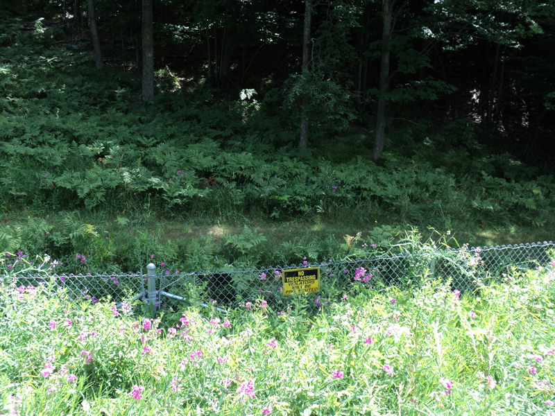
Inlet
Outlet
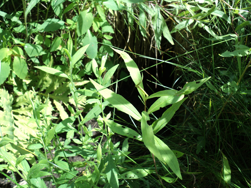
Downstream Conditions
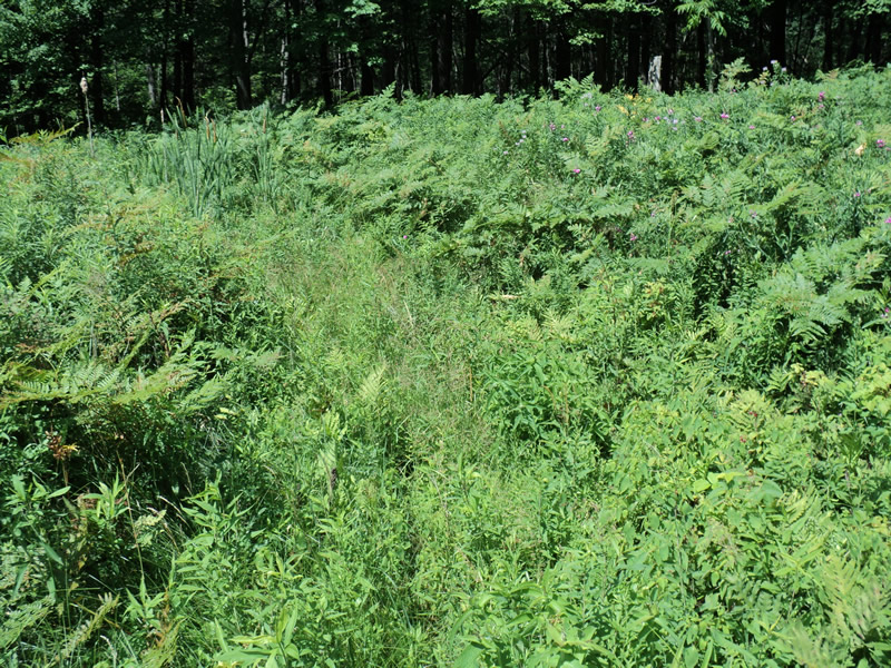
Road Approach - Left
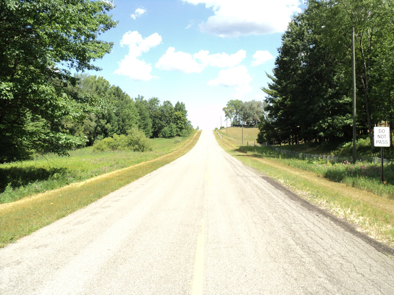
Road Approach - Right
Crossing Information
Type of Crossing: culvert(s)
Structure Shape: Round
Outlet Type: Outlet Apron
Structure Material: Metal
Structure Substrate: Mixture
General Conditions: Good
Structure Interior: corrugated
Dimensions of Structure: Length 90 ft.
, Width 1 ft.
, Height 1 ft.
Water Depth: 0 ft.
Water Velocity*: 0 ft./sec.
Water Depth: 0 ft.
Water Velocity*: 0 ft./sec.
*Water Velocities were measured at the Surface
(with Meter)
Additional Comments
inlet inaccessible due to private property fence
Stream Information
Stream Flow: None
Riffle Information
Water Depth: 0 ft.
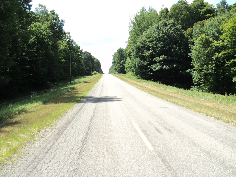
Road Information
Paved
County Road
Road Condition: Good
Road Width at Culvert: 24 ft.
Location of Low Point: Other
Runoff Path: Ditch
Embankments
Upstream
Fill Depth: 3 ft.
Slope: More than 1:2
Downstream
Fill Depth: 6 ft.
Slope: More than 1:2
Approaches
Left Approach
Length: 400 ft.
Slope: 6% to 10%
Vegetation: Heavy
LS Factor: 1.53
Erosion: 0.4856 tons/year
Right Approach
Length: 700 ft.
Slope: 6% to 10%
Vegetation: Heavy
LS Factor: 1.825
Erosion: 1.0136 tons/year
Erosion Information
Total Erosion at Crossing: 1.4991 tons/year
Extent of Erosion: Minor
Summary Information
Fish Passability 0.5
�