Road Stream Crossing Site PM_M027
Pere Marquette River Watershed, Big South Branch tributary
Taylor Rd
Branch Twp,
Mason County
Information collected by:
Site Location
GPS Coordinates: 43.83854
, -86.07306
T18N
R15W
Sec 26
Owned by Private
Federal
Federal
Perch Height: 3 ft.
Total Erosion: 0.0744 tons/year
Severity: Severe
Year Inventoried: 2014
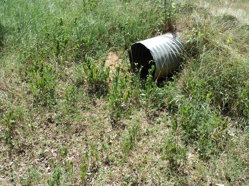
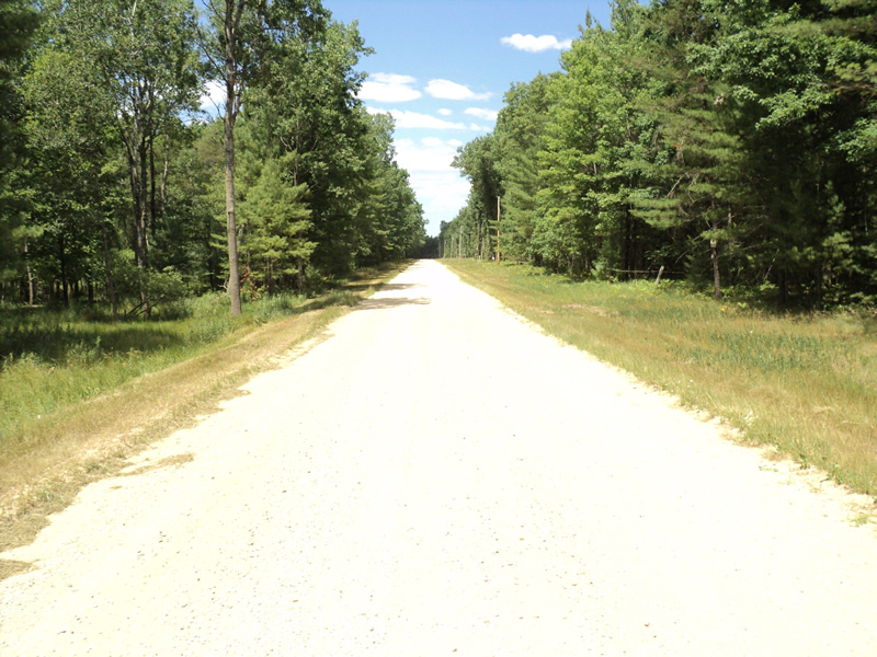
Inlet
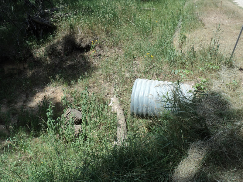
Outlet
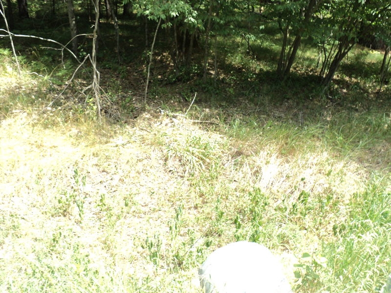
Upstream Conditions
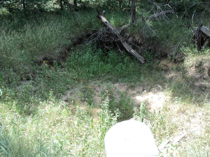
Downstream Conditions
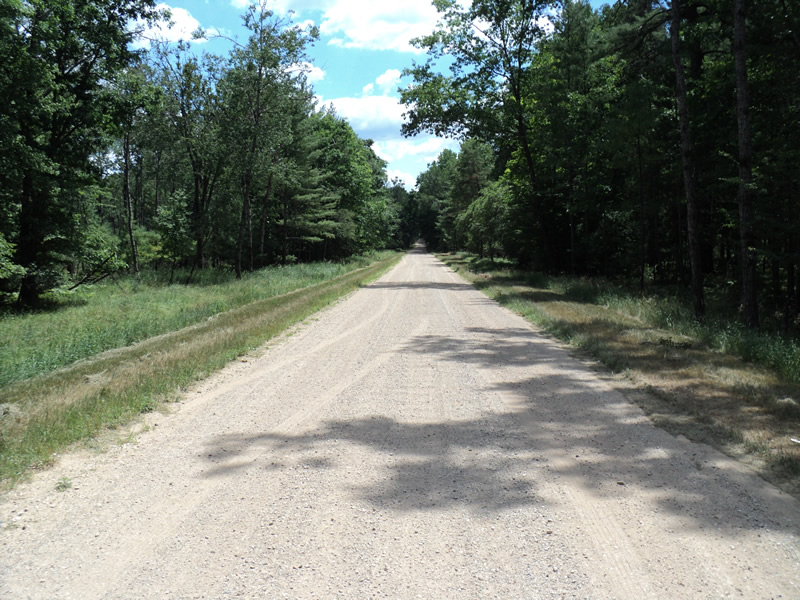
Road Approach - Left
Road Approach - Right
Crossing Information
Type of Crossing: culvert(s)
Number of Structures: 1
Structure Shape: Round
Inlet Type: Projecting
Outlet Type: Freefall into Pool
Structure Material: Metal
Structure Substrate: None
General Conditions: Good
Structure Interior: corrugated
Dimensions of Structure: Length 40 ft.
, Width 2 ft.
, Height 2 ft.
Perch Height: 3 ft.
Water Depth: 0 ft.
Water Velocity*: 0 ft./sec.
Water Depth: 0 ft.
Water Velocity*: 0 ft./sec.
*Water Velocities were measured at the Surface
(with Meter)
Additional Comments
large dry scour pool
Stream Information
Stream Flow: None
Scour Pool: Length 11 ft.
, Width 15 ft.
, Depth 3 ft.
Riffle Information
Water Depth: 0 ft.
(Measured with Meter)
Dominant Substrate: Organics
Road Information
Gravel
County Road
Road Condition: Good
Road Width at Culvert: 18 ft.
Location of Low Point: Other
Runoff Path: Ditch
Embankments
Upstream
Fill Depth: 0.5 ft.
Slope: More than 1:2
Downstream
Fill Depth: 0.5 ft.
Slope: 1:2
Approaches
Left Approach
Length: 150 ft.
Slope: Less Than 1%
Vegetation: Heavy
LS Factor: 0.05
Erosion: 0.0372 tons/year
Right Approach
Length: 150 ft.
Slope: Less Than 1%
Vegetation: Heavy
LS Factor: 0.05
Erosion: 0.0372 tons/year
Erosion Information
Total Erosion at Crossing: 0.0744 tons/year
Extent of Erosion: Moderate
Summary Information
Erosion is an area of concern for this site.
�