Road Stream Crossing Site PM_M028
Pere Marquette River Watershed, Pere Marquette tributary
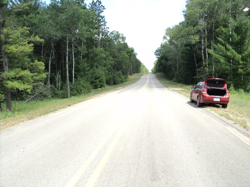
Barothy Rd
Branch Twp,
Mason County
Information collected by:
Site Location
GPS Coordinates: 43.92836
, -86.06603
T18N
R15W
Sec 26
Owned by Private
Federal
Federal
Fish Passability 0.9
Total Erosion: 0.9474 tons/year
Severity: Moderate
Year Inventoried: 2014
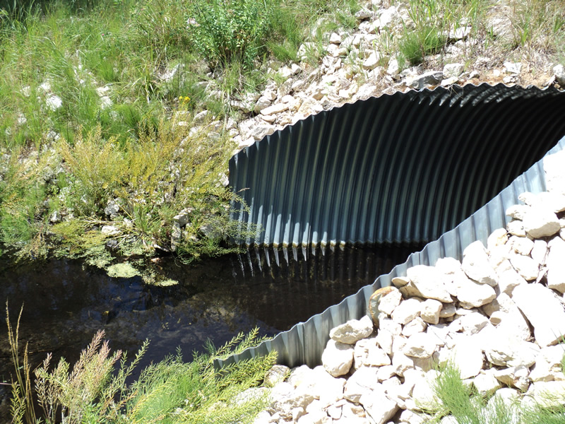
Inlet

Outlet
Upstream Conditions
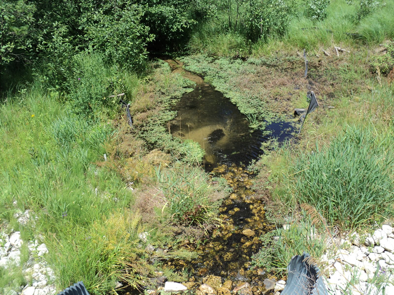
Downstream Conditions
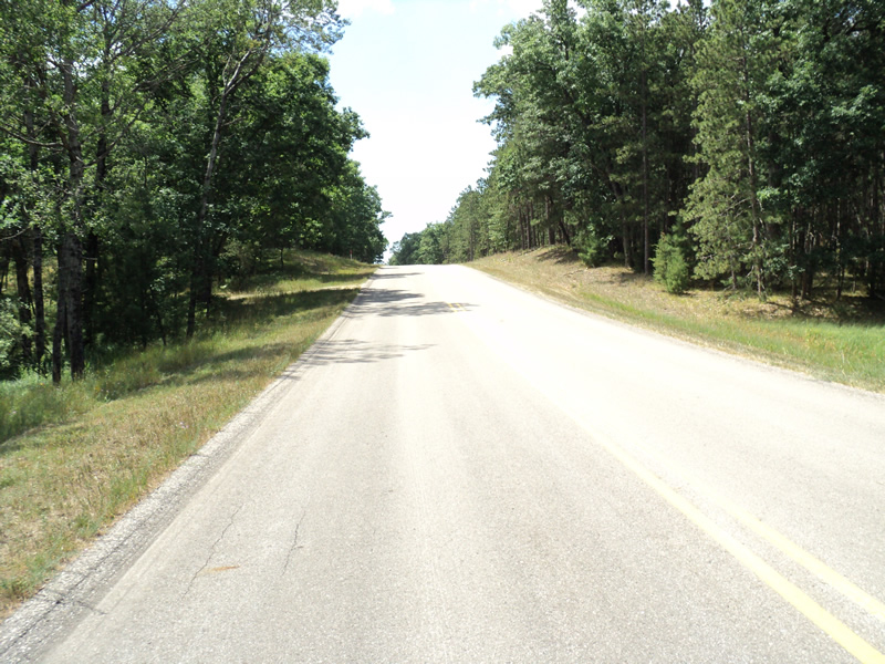
Road Approach - Left
Road Approach - Right
Crossing Information
Type of Crossing: culvert(s)
Number of Structures: 1
Structure Shape: Pipe Arch
Inlet Type: Mitered
Outlet Type: At Stream Grade
Structure Material: Metal
Structure Substrate: Sand
General Conditions: New
Structure Interior: corrugated
Dimensions of Structure: Length 80 ft.
, Width 7 ft.
, Height 6 ft.
Structure Inlet
Water Depth: 0.5 ft.
Embedded Depth of Structure: 0.3 ft.
Water Velocity*: 0.3 ft./sec.
Structure Outlet
Water Depth: 0.8 ft.
Embedded Depth of Structure: 0.4 ft.
Water Velocity*: 0.8 ft./sec.
*Water Velocities were measured 0.5 ft. below Surface
(with Meter)
Stream Information
Stream Flow: Less than 1/2 Bankfull
Riffle Information
Water Depth: 2 ft.
Bankfull Width: 10 ft.
Wetted Width: 6.5 ft.
Water Velocity: 0.8 ft./sec.
(Measured with Meter)
Dominant Substrate: Sand
Road Information
Paved
County Road
Road Condition: Good
Road Width at Culvert: 29 ft.
Location of Low Point: At Stream
Runoff Path: Roadway
Embankments
Upstream
Fill Depth: 1.5 ft.
Slope: 1:2
Downstream
Fill Depth: 1.5 ft.
Slope: 1:2
Approaches
Left Approach
Length: 180 ft.
Slope: 6% to 10%
Vegetation: Heavy
LS Factor: 1.186
Erosion: 0.2047 tons/year
Right Approach
Length: 480 ft.
Slope: 6% to 10%
Vegetation: Heavy
LS Factor: 1.614
Erosion: 0.7427 tons/year
Erosion Information
Total Erosion at Crossing: 0.9474 tons/year
Summary Information
Fish Passability 0.9
�