Road Stream Crossing Site PM_M029
Pere Marquette River Watershed, Weldon Creek tributary
Taylor Rd
Branch Twp,
Mason County
Information collected by:
Site Location
GPS Coordinates: 43.95725
, -86.07899
T18N
R15W
Sec 15
Owned by Private
Fish Passability 0.9
Total Erosion: 0.353 tons/year
Severity: Minor
Year Inventoried: 2014
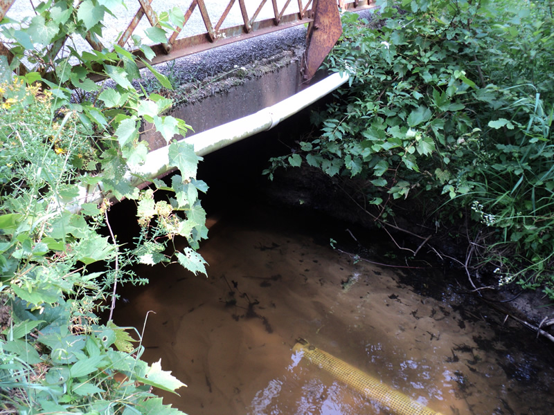
Inlet
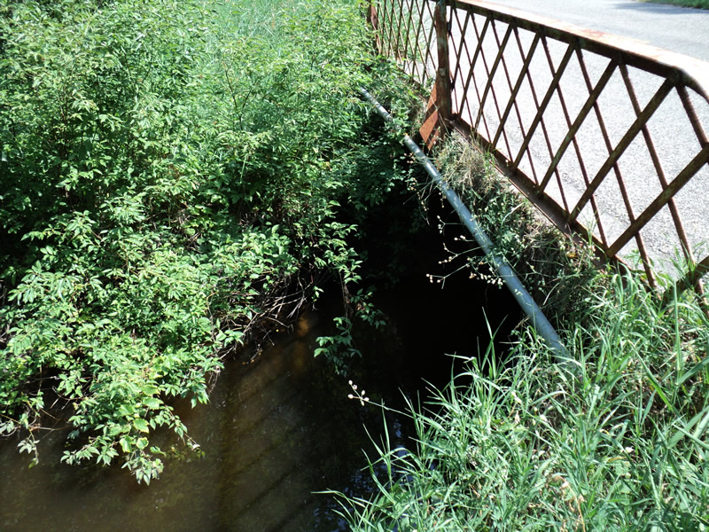
Outlet
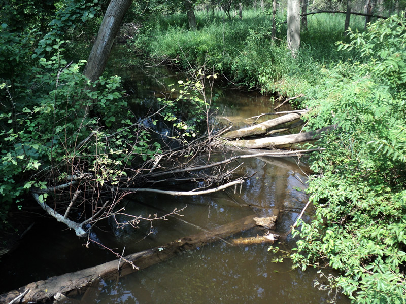
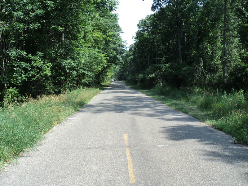
Upstream Conditions
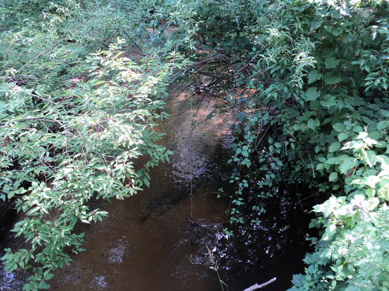
Downstream Conditions
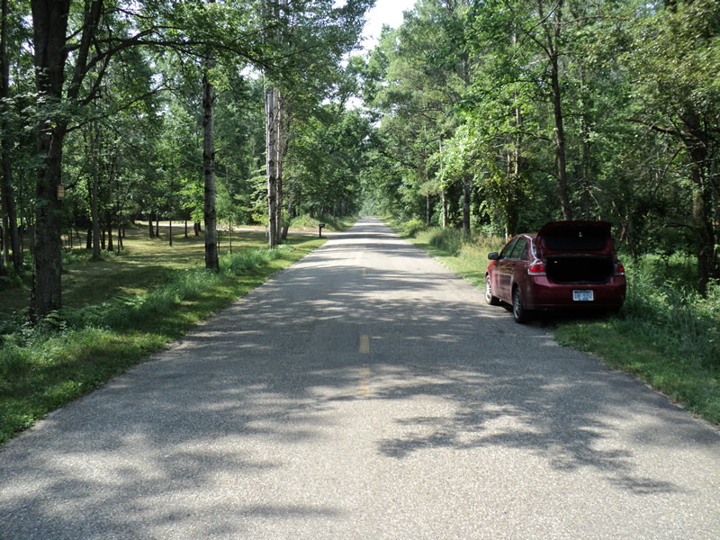
Road Approach - Left
Road Approach - Right
Crossing Information
Type of Crossing: Bridge
Structure Shape: Open Bottom Square/Rectangle
Inlet Type: Wingwall 10-30 Degree
Outlet Type: At Stream Grade
Structure Material: Concrete
Structure Substrate: Mixture
General Conditions: Fair
Structure Interior: smooth
Dimensions of Structure: Length 19 ft.
, Width 20 ft.
, Height 5 ft.
Structure Inlet
Water Depth: 1 ft.
Water Velocity*: 0.8 ft./sec.
Structure Outlet
Water Depth: 3.5 ft.
Water Velocity*: 0.3 ft./sec.
*Water Velocities were measured 1 ft. below Surface
(with Meter)
Stream Information
Stream Flow: Less than 1/2 Bankfull
Riffle Information
Water Depth: 0.6 ft.
Bankfull Width: 22 ft.
Wetted Width: 21 ft.
Water Velocity: 0.9 ft./sec.
(Measured with Meter)
Dominant Substrate: Sand
Road Information
Paved
County Road
Road Condition: Good
Road Width at Culvert: 19 ft.
Location of Low Point: At Stream
Runoff Path: Ditch
Approaches
Left Approach
Length: 600 ft.
Slope: 1% to 5%
Vegetation: Heavy
LS Factor: 0.52
Erosion: 0.196 tons/year
Right Approach
Length: 500 ft.
Slope: 1% to 5%
Vegetation: Heavy
LS Factor: 0.5
Erosion: 0.157 tons/year
Erosion Information
Total Erosion at Crossing: 0.353 tons/year
Summary Information
Fish Passability 0.9
�