Road Stream Crossing Site PM_M034
Pere Marquette River Watershed, Weldon Creek tributary
Schoenherr Rd
Branch Twp,
Mason County
Information collected by:
Site Location
GPS Coordinates: 43.98051
, -86.16017
T18N
R15W
Sec 6
Owned by Private
Fish Passability 0.5
Total Erosion: 0.0159 tons/year
Severity: Moderate
Year Inventoried: 2014
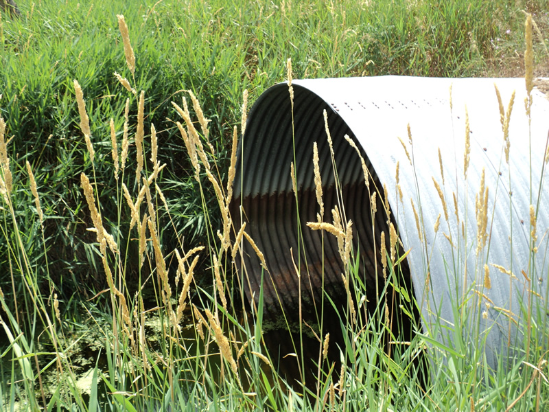
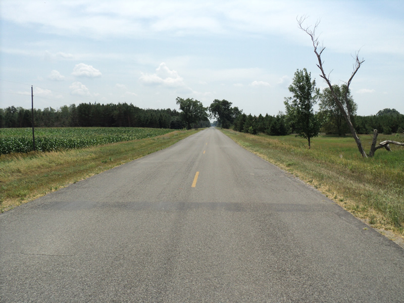
Inlet
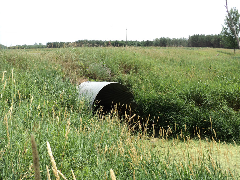
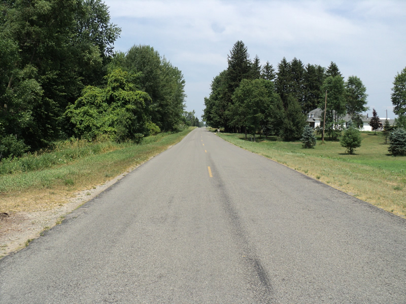
Outlet
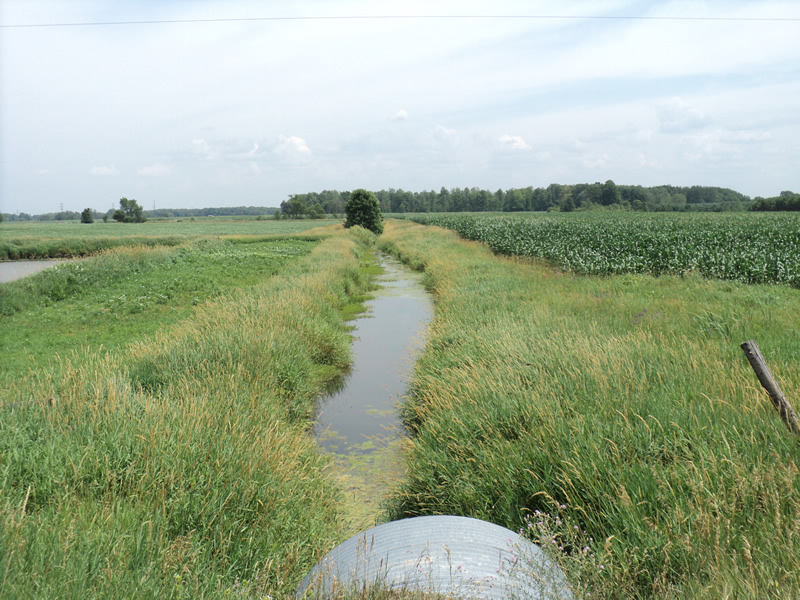
Upstream Conditions
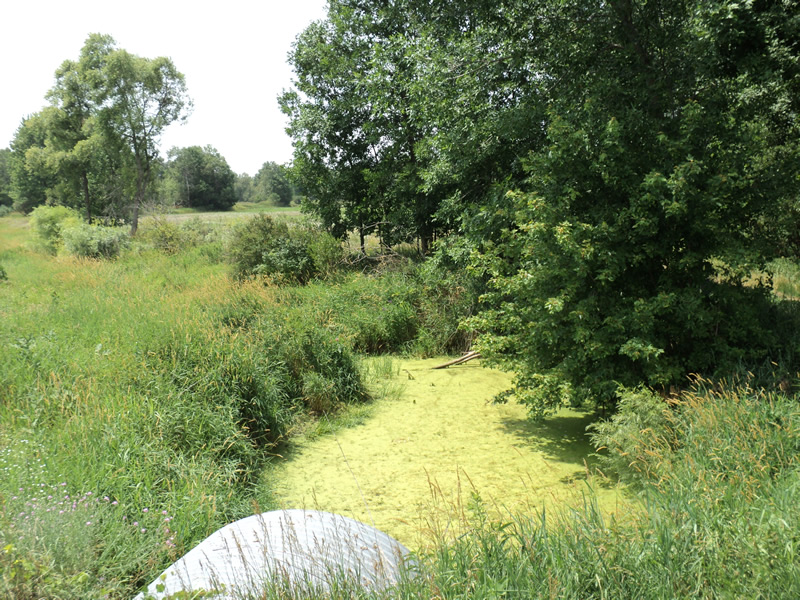
Downstream Conditions
Road Approach - Left
Road Approach - Right
Crossing Information
Type of Crossing: culvert(s)
Number of Structures: 1
Structure Shape: Pipe Arch
Inlet Type: Projecting
Outlet Type: At Stream Grade
Structure Material: Metal
Structure Substrate: None
General Conditions: Good
Structure Interior: corrugated
Dimensions of Structure: Length 85 ft.
, Width 9 ft.
, Height 6.5 ft.
Structure Inlet
Water Depth: 1 ft.
Water Velocity*: 0 ft./sec.
Structure Outlet
Water Depth: 0.1 ft.
Water Velocity*: 0.1 ft./sec.
*Water Velocities were measured at the Surface
(with Meter)
Additional Comments
stagnant-6 dead fish at outlet
Stream Information
Stream Flow: None
Scour Pool: Length 50 ft.
, Width 20 ft.
, Depth 3 ft.
Riffle Information
Water Depth: 0 ft.
Road Information
Paved
County Road
Road Condition: Good
Road Width at Culvert: 24 ft.
Location of Low Point: Other
Runoff Path: Ditch
Embankments
Upstream
Fill Depth: 2 ft.
Slope: More than 1:2
Downstream
Fill Depth: 2 ft.
Slope: More than 1:2
Approaches
Left Approach
Length: 200 ft.
Slope: Less Than 1%
Vegetation: Heavy
LS Factor: 0.05
Erosion: 0.0079 tons/year
Right Approach
Length: 200 ft.
Slope: Less Than 1%
Vegetation: Heavy
LS Factor: 0.05
Erosion: 0.0079 tons/year
Erosion Information
Total Erosion at Crossing: 0.0159 tons/year
Summary Information
Fish Passability 0.5
A future visit to this site is recommended. dead fish at outlet-2 panfish, 3 chubs and 2 bullhead
�