Road Stream Crossing Site PM_M036
Pere Marquette River Watershed, Weldon Creek tributary
Schoenherr Rd
Branch Twp,
Mason County
Information collected by:
Site Location
GPS Coordinates: 43.97277
, -86.15998
T18N
R15W
Sec 7
Owned by Private
Fish Passability 0.5
Total Erosion: 0.28 tons/year
Severity: Moderate
Year Inventoried: 2014
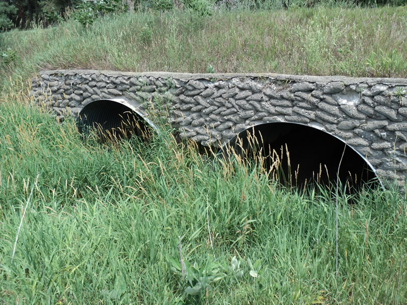
Inlet
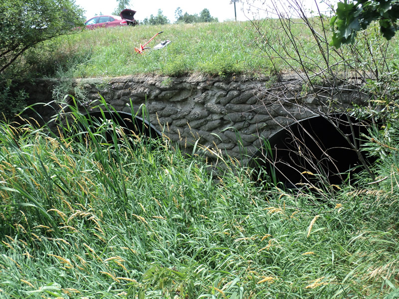
Outlet
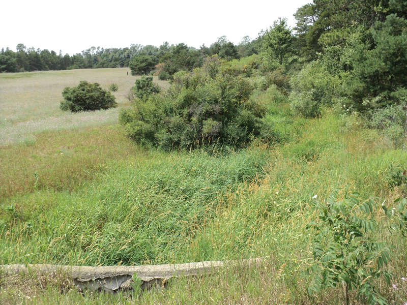
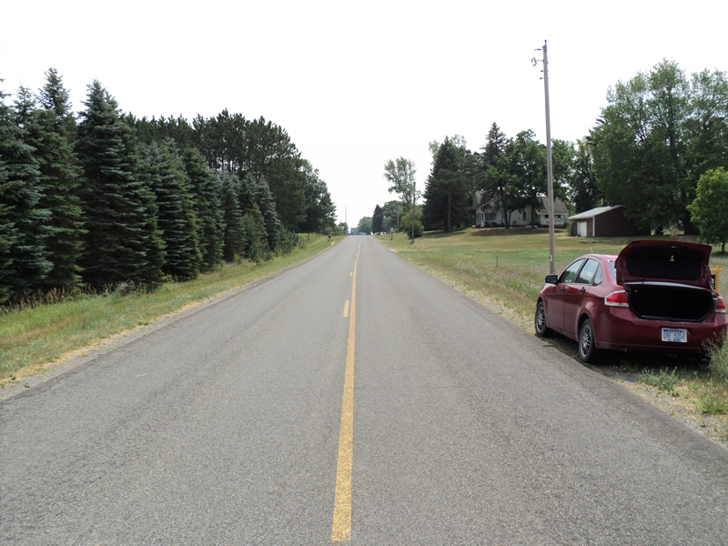
Upstream Conditions
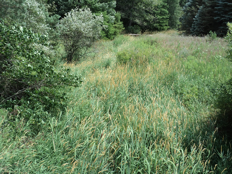
Downstream Conditions
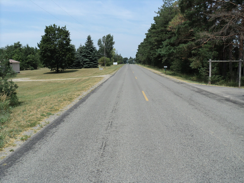
Road Approach - Left
Road Approach - Right
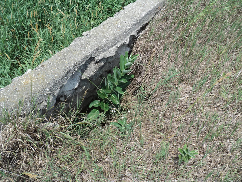
Erosion
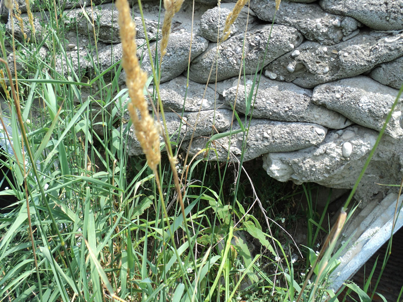
Erosion
Crossing Information
Type of Crossing: culvert(s)
Number of Structures: 2
Structure Shape: Pipe Arch
Inlet Type: Headwall
Outlet Type: At Stream Grade
Structure Material: Metal
Structure Substrate: None
General Conditions: Poor
Structure Interior: corrugated
Dimensions of Structure: Length 60 ft.
, Width 9 ft.
, Height 5.5 ft.
Water Depth: 0 ft.
Water Velocity*: 0 ft./sec.
Water Depth: 0 ft.
Water Velocity*: 0 ft./sec.
*Water Velocities were measured at the Surface
(with Meter)
Stream Information
Stream Flow: None
Riffle Information
Water Depth: 0 ft.
Road Information
Paved
County Road
Road Condition: Good
Road Width at Culvert: 24 ft.
Location of Low Point: At Stream
Runoff Path: Ditch
Embankments
Upstream
Fill Depth: 3 ft.
Slope: 1:2
Downstream
Fill Depth: 3 ft.
Slope: 1:2
Approaches
Left Approach
Length: 270 ft.
Slope: 1% to 5%
Vegetation: Heavy
LS Factor: 0.448
Erosion: 0.096 tons/year
Right Approach
Length: 310 ft.
Slope: 1% to 5%
Vegetation: Heavy
LS Factor: 0.462
Erosion: 0.1136 tons/year
Erosion Information
Total Erosion at Crossing: 0.28 tons/year
Extent of Erosion: Severe
Notes: erosion is through bottom of headwall that broke out between culverts. see pics.
Location of Erosion | Erosion Dimensions | Eroded Material | Material Eroded | Total Erosion | ||
facing downstream | Length | Width | Depth | Reaching Stream? | (tons/year) | |
Right Upstream Embankment |
2 ft. |
3 ft. |
2 ft. |
yes |
Loam |
0.0704 |
Summary Information
Fish Passability 0.5
Erosion is an area of concern for this site.
These non-native species were observerd at this site: Knapweed
�