Road Stream Crossing Site PM_M037
Pere Marquette River Watershed, Weldon Creek
US-10
Branch Twp,
Mason County
Information collected by:
Site Location
GPS Coordinates: 43.9535
, -86.15417
T18N
R15W
Sec 18
Owned by Private
Total Erosion: 1.2325 tons/year
Severity: Moderate
Year Inventoried: 2014
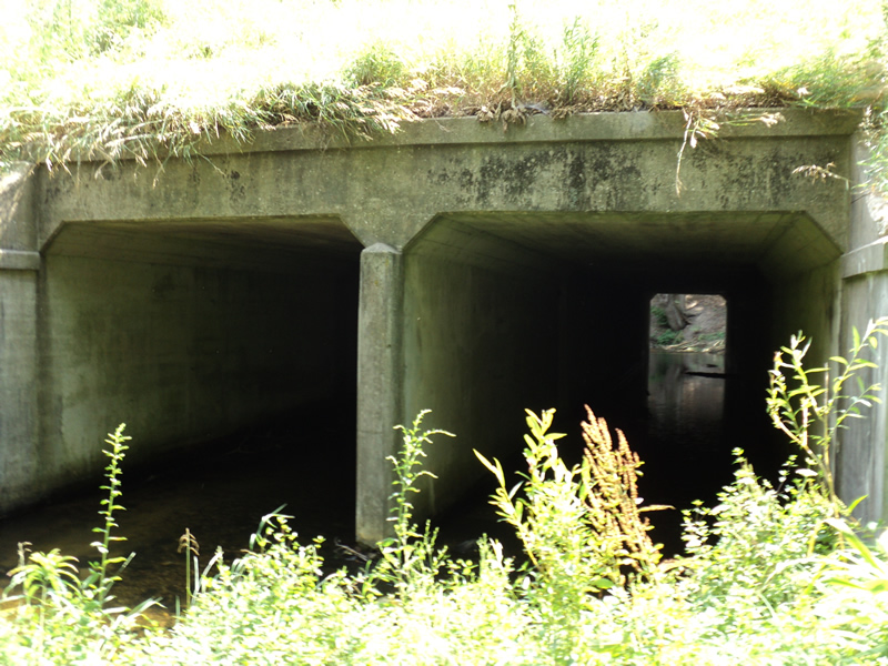
Inlet
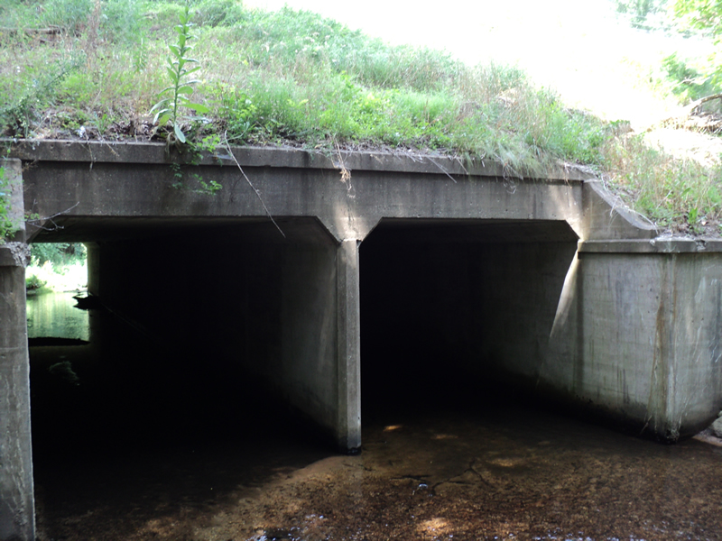
Outlet
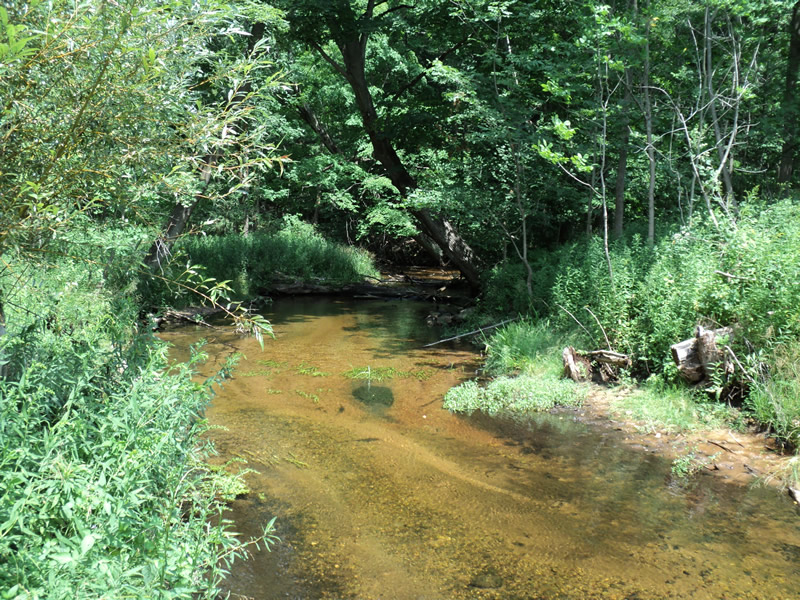
Upstream Conditions
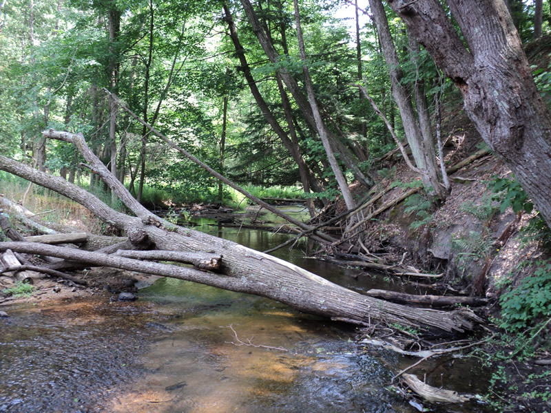
Downstream Conditions
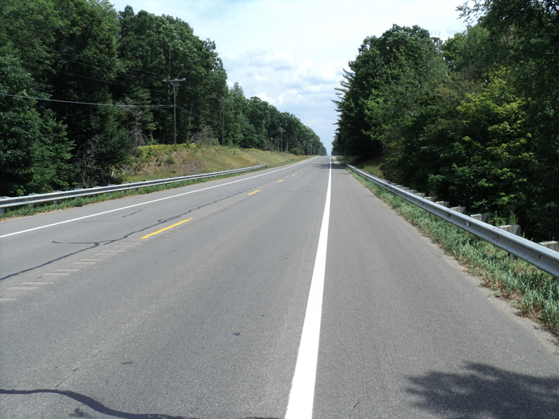
Road Approach - Left
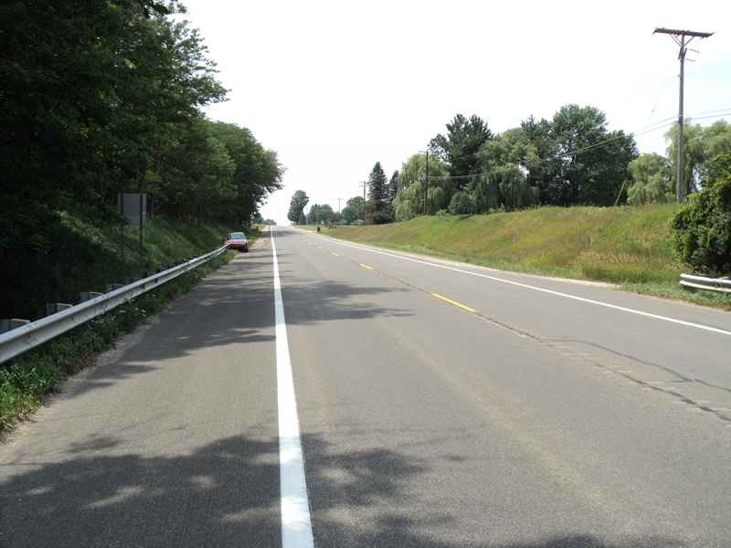
Road Approach - Right
Crossing Information
Type of Crossing: culvert(s)
Number of Structures: 2
Structure Shape: Open Bottom Square/Rectangle
Inlet Type: Projecting
Outlet Type: At Stream Grade
Structure Material: Concrete
Structure Substrate: Mixture
General Conditions: Good
Structure Interior: smooth
Dimensions of Structure: Length 120 ft.
, Width 12 ft.
, Height 11 ft.
Structure Inlet
Water Depth: 0.5 ft.
Water Velocity*: 1.2 ft./sec.
Structure Outlet
Water Depth: 0.4 ft.
Water Velocity*: 1.1 ft./sec.
*Water Velocities were measured 0.5 ft. below Surface
(with Meter)
Stream Information
Stream Flow: Less than 1/2 Bankfull
Riffle Information
Water Depth: 0.3 ft.
Bankfull Width: 30 ft.
Wetted Width: 26 ft.
Water Velocity: 1.5 ft./sec.
(Measured with Meter)
Dominant Substrate: Gravel
Road Information
Paved
Federal Road
Road Condition: Good
Road Width at Culvert: 40 ft.
Location of Low Point: At Stream
Runoff Path: Ditch
Embankments
Upstream
Fill Depth: 27 ft.
Slope: 1:1.5
Downstream
Fill Depth: 25 ft.
Slope: 1:1
Approaches
Left Approach
Length: 1000 ft.
Slope: 1% to 5%
Vegetation: Heavy
LS Factor: 0.57
Erosion: 0.7537 tons/year
Right Approach
Length: 670 ft.
Slope: 1% to 5%
Vegetation: Heavy
LS Factor: 0.531
Erosion: 0.47 tons/year
Erosion Information
Total Erosion at Crossing: 1.2325 tons/year
Extent of Erosion: Minor
Notes:
right downstream ditch culvert drain filled with sand
Location of Erosion | Erosion Dimensions | Eroded Material | Material Eroded | Total Erosion | ||
facing downstream | Length | Width | Depth | Reaching Stream? | (tons/year) | |
Left Downstream Embankment |
10 ft. |
10 ft. |
0.2 ft. |
yes |
Loam |
0.0018 |
Right Downstream Embankment |
40 ft. |
20 ft. |
0.2 ft. |
yes |
Loam |
0.007 |
Summary Information
Erosion is an area of concern for this site.
�