Road Stream Crossing Site PM_M038
Pere Marquette River Watershed, Pere Marquette River
Reek Rd
Custer Twp,
Mason County
Information collected by:
Site Location
GPS Coordinates: 43.93759
, -86.18107
T18N
R16W
Sec 23
Owned by Private
Federal
Federal
Total Erosion: 1.4029 tons/year
Severity: Moderate
Year Inventoried: 2014
Inlet
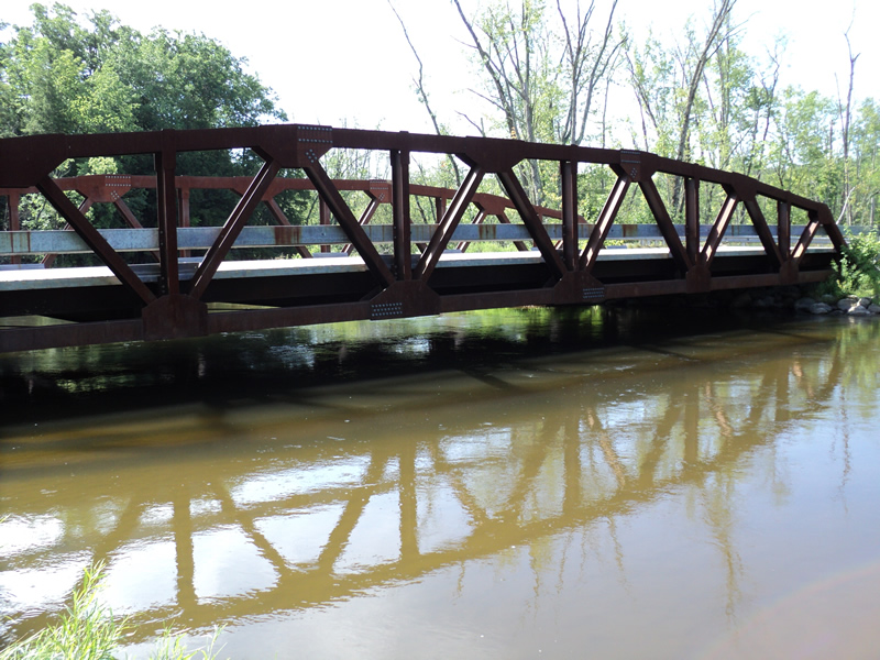
Outlet

Upstream Conditions
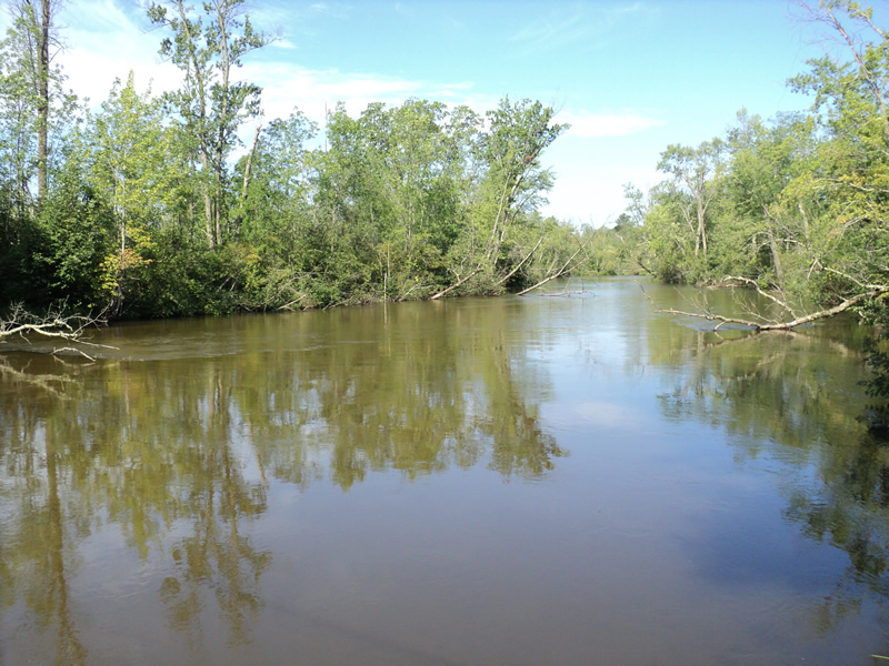
Downstream Conditions
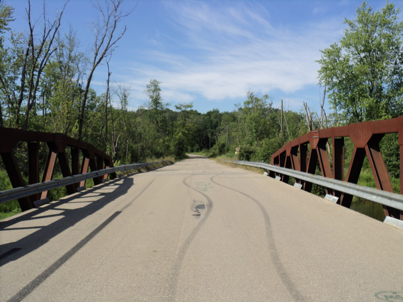
Road Approach - Left
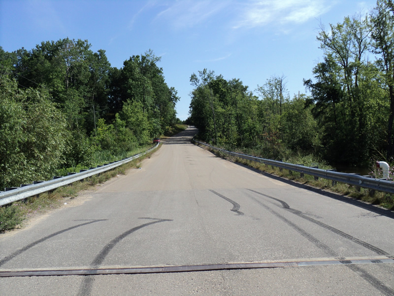
Road Approach - Right
Crossing Information
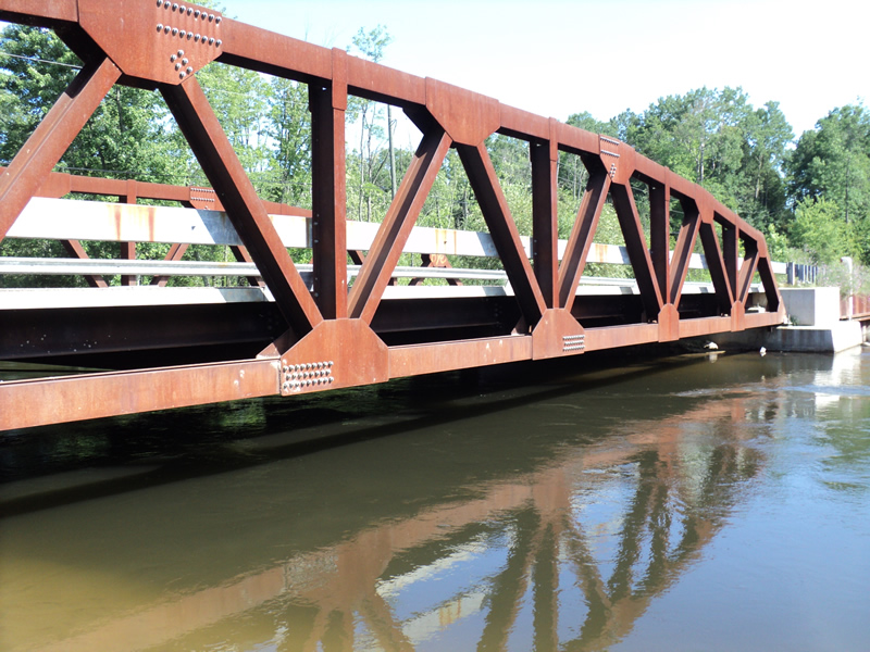
Type of Crossing: Bridge
Structure Shape: Open Bottom Square/Rectangle
Inlet Type: Other
Outlet Type: At Stream Grade
Structure Material: Concrete
Structure Substrate: Mixture
General Conditions: Good
Structure Interior: smooth
Dimensions of Structure: Length 31 ft.
, Width 107 ft.
, Height 6 ft.
Structure Inlet
Water Depth: 5 ft.
Water Velocity*: 1.1 ft./sec.
Structure Outlet
Water Depth: 3.1 ft.
Water Velocity*: 1.6 ft./sec.
*Water Velocities were measured 2.5 ft. below Surface
(with Meter)
Additional Comments
Recent rain prior to survey, gravel road with paved approaches.
Stream Information
Stream Flow: Less than Bankfull
Riffle Information
Water Depth: 2.2 ft.
Bankfull Width: 81 ft.
Wetted Width: 81 ft.
Water Velocity: 2.5 ft./sec.
(Measured with Meter)
Dominant Substrate: Sand
Road Information
Paved
County Road
Road Condition: Good
Road Width at Culvert: 31 ft.
Location of Low Point: At Stream
Runoff Path: Roadway
Fill Depth: 0 ft.
Slope: Vertical
Fill Depth: 0 ft.
Slope: Vertical
Approaches
Left Approach
Length: 600 ft.
Slope: 1% to 5%
Vegetation: Heavy
LS Factor: 0.52
Erosion: 0.3197 tons/year
Right Approach
Length: 550 ft.
Slope: 6% to 10%
Vegetation: Heavy
LS Factor: 1.688
Erosion: 0.9511 tons/year
Erosion Information
Total Erosion at Crossing: 1.4029 tons/year
Extent of Erosion: Minor
Notes:
Road gutters full of sand from gravel road. Access trail erosion is causing pavement to begin breaking off.
Location of Erosion | Erosion Dimensions | Eroded Material | Material Eroded | Total Erosion | ||
facing downstream | Length | Width | Depth | Reaching Stream? | (tons/year) | |
Left Upstream Embankment |
10 ft. |
2 ft. |
0.5 ft. |
yes |
Sand |
0.0055 |
Left Approach |
600 ft. |
1 ft. |
0.1 ft. |
yes |
Sand |
0.066 |
Right Approach |
550 ft. |
1 ft. |
0.1 ft. |
yes |
Sand |
0.0605 |
Summary Information
Erosion is an area of concern for this site.
A future visit to this site is recommended.
Erosion causing road damage.
These non-native species were observerd at this site: Knapweed
�