Road Stream Crossing Site PM_M044
Pere Marquette River Watershed, Pere Marquette River
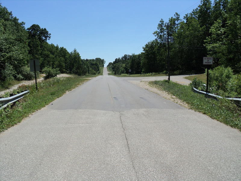
Custer Rd
Custer Twp,
Mason County
Information collected by:
Site Location
GPS Coordinates: 43.93693
, -86.2187
T18N
R16W
Sec 22
Owned by Local Government
Federal
Federal
Fish Passability 0.9
Total Erosion: 1.674 tons/year
Severity: Moderate
Year Inventoried: 2014
Inlet
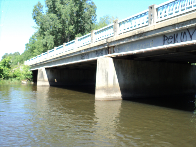
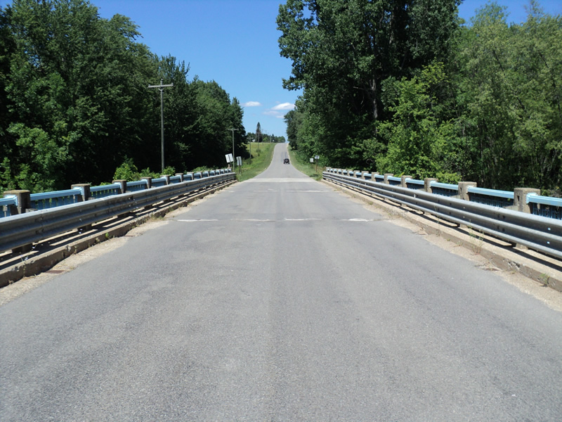
Outlet
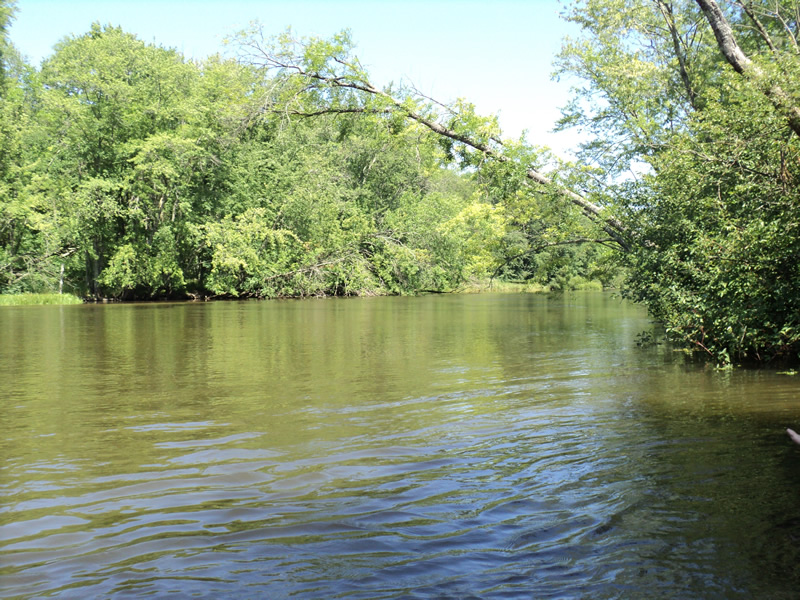
Upstream Conditions
Downstream Conditions
Road Approach - Left
Road Approach - Right
Crossing Information
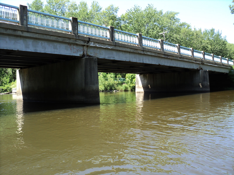
Type of Crossing: Bridge
Structure Shape: Open Bottom Square/Rectangle
Outlet Type: At Stream Grade
Structure Material: Concrete
Structure Substrate: Mixture
General Conditions: Good
Multiple Culverts/Spans | ||||
Culvert/Span | Width | Length | Height | Material |
1 |
54 ft. |
29 ft. |
15 ft. |
|
2 |
54 ft. |
29 ft. |
15 ft. |
|
3 |
58 ft. |
29 ft. |
15 ft. |
|
Dimensions of Structure: Length 29 ft.
, Width 166 ft.
, Height 15 ft.
Structure Inlet
Water Depth: 3.5 ft.
Water Velocity*: 1.5 ft./sec.
Structure Outlet
Water Depth: 3 ft.
Water Velocity*: 1.5 ft./sec.
*Water Velocities were measured 2 ft. below Surface
(with Meter)
Stream Information
Stream Flow: Less than Bankfull
Riffle Information
Water Depth: 3 ft.
Bankfull Width: 145 ft.
Wetted Width: 140 ft.
Water Velocity: 1.5 ft./sec.
(Measured with Meter)
Dominant Substrate: Sand
Road Information
Paved
County Road
Road Condition: Good
Road Width at Culvert: 24 ft.
Location of Low Point: At Stream
Runoff Path: Ditch
Slope: Vertical
Slope: Vertical
Approaches
Left Approach
Length: 150 ft.
Slope: 1% to 5%
Vegetation: Heavy
LS Factor: 0.4
Erosion: 0.0476 tons/year
Right Approach
Length: 1000 ft.
Slope: 6% to 10%
Vegetation: Heavy
LS Factor: 2.05
Erosion: 1.6264 tons/year
Erosion Information
Total Erosion at Crossing: 1.674 tons/year
Summary Information
Fish Passability 0.9
Fish Passage is an area of concern for this site.
�