Road Stream Crossing Site PM_M046
Pere Marquette River Watershed, Black Creek tributary
Johnson Rd
Custer Twp,
Mason County
Information collected by:
Site Location
GPS Coordinates: 43.96217
, -86.19112
T18N
R16W
Sec 11
Owned by Private
Fish Passability 0.5
Severity: Moderate
Year Inventoried: 2014
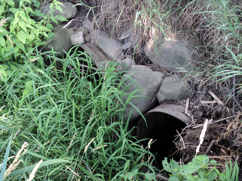
Inlet
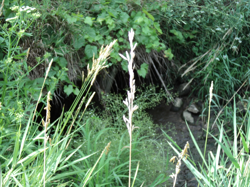
Outlet
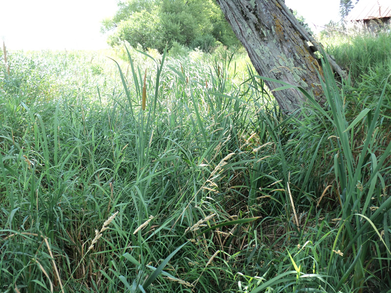
Upstream Conditions
Downstream Conditions
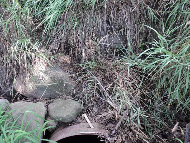
Erosion
Erosion
Crossing Information
Type of Crossing: culvert(s)
Number of Structures: 2
Structure Shape: Round
Inlet Type: Projecting
Outlet Type: At Stream Grade
Structure Material: Metal
Structure Substrate: Sand
General Conditions: Poor
Multiple Culverts/Spans | ||||
Culvert/Span | Width | Length | Height | Material |
1 |
2.5 ft. |
22 ft. |
2.5 ft. |
|
2 |
2.5 ft. |
22 ft. |
2.5 ft. |
|
Structure Interior: corrugated
Structure is Rusted through
Dimensions of Structure: Length 22 ft.
, Width 2.5 ft.
, Height 2.5 ft.
Water Depth: 0 ft.
Water Velocity*: 0 ft./sec.
Water Depth: 0 ft.
Water Velocity*: 0 ft./sec.
Additional Comments
on private property-Tim Pastoor damage caused by woodchuck digging
Stream Information
Stream Flow: None
Riffle Information
Water Depth: 0 ft.
Water Velocity: 0 ft./sec.
Road Information
Native Surface
Other Road
Road Condition: Fair
Embankments
Upstream
Fill Depth: 4 ft.
Slope: Vertical
Downstream
Fill Depth: 4 ft.
Slope: Vertical
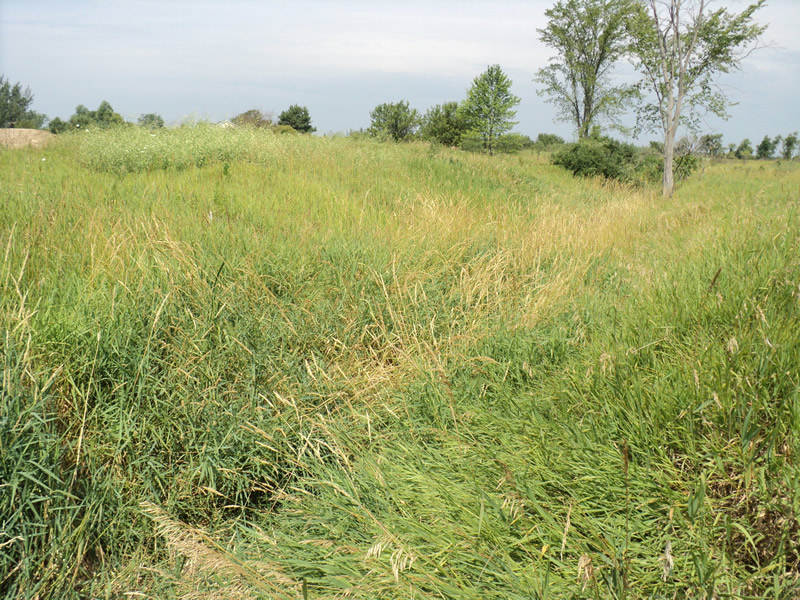
Length: 100 ft.
Slope: Less Than 1%
Vegetation: Heavy
Length: 100 ft.
Slope: Less Than 1%
Vegetation: Heavy
Erosion Information
Summary Information
Fish Passability 0.5
�