Road Stream Crossing Site PM_M051
Pere Marquette River Watershed, Black Creek tributary
Tuttle Rd
Custer Twp,
Mason County
Information collected by:
Site Location
GPS Coordinates: 43.98177
, -86.23979
T18N
R16W
Sec 5
Owned by Private
Fish Passability 0.5
Total Erosion: 1.245 tons/year
Severity: Moderate
Year Inventoried: 2014
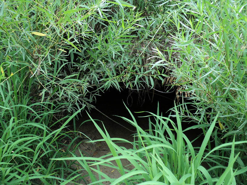
Inlet
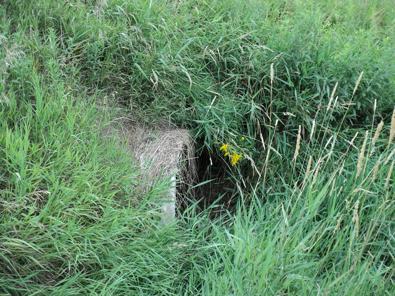
Outlet
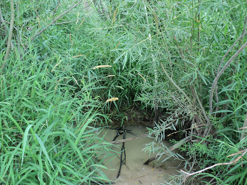
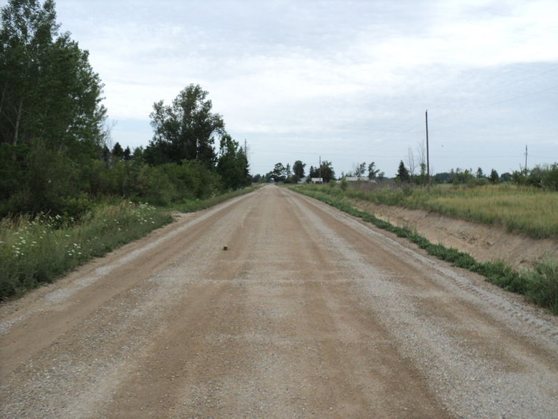
Upstream Conditions
Downstream Conditions
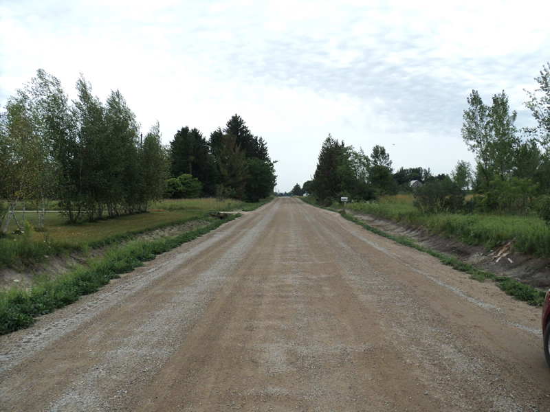
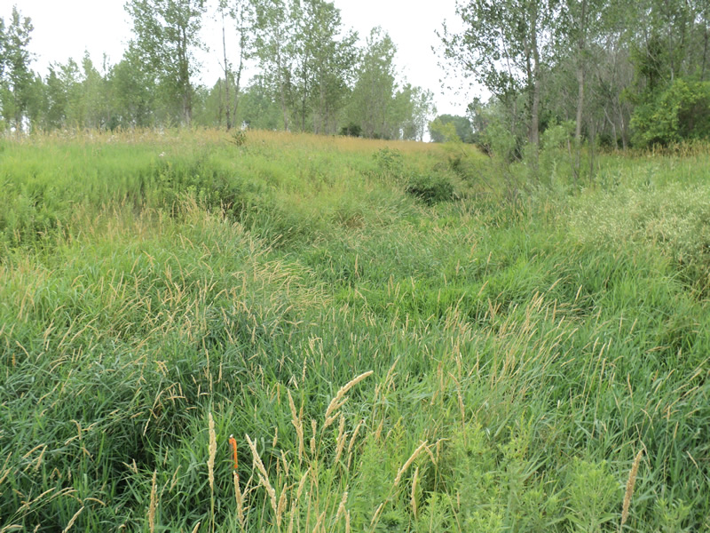
Road Approach - Left
Road Approach - Right
Crossing Information
Type of Crossing: culvert(s)
Number of Structures: 1
Structure Shape: Pipe Arch
Inlet Type: Projecting
Outlet Type: At Stream Grade
Structure Material: Metal
Structure Substrate: Sand
General Conditions: Good
Structure Interior: corrugated
Dimensions of Structure: Length 40 ft.
, Width 4.5 ft.
, Height 3 ft.
Water Depth: 0 ft.
Embedded Depth of Structure: 0.5 ft.
Water Velocity*: 0 ft./sec.
Water Depth: 0 ft.
Embedded Depth of Structure: 0.2 ft.
Water Velocity*: 0 ft./sec.
Additional Comments
dry-ditches recently re-dug
Stream Information
Stream Flow: None
Riffle Information
Water Depth: 0 ft.
Water Velocity: 0 ft./sec.
Road Information
Gravel
County Road
Road Condition: Good
Road Width at Culvert: 24 ft.
Location of Low Point: Other
Runoff Path: Ditch
Embankments
Upstream
Fill Depth: 2 ft.
Slope: 1:1.5
Downstream
Fill Depth: 3 ft.
Slope: 1:1.5
Approaches
Left Approach
Length: 300 ft.
Slope: 1% to 5%
Vegetation: Partial
LS Factor: 0.55
Erosion: 1.0909 tons/year
Right Approach
Length: 200 ft.
Slope: Less Than 1%
Vegetation: Partial
LS Factor: 0.05
Erosion: 0.0661 tons/year
Erosion Information
Total Erosion at Crossing: 1.245 tons/year
Extent of Erosion: Minor
Location of Erosion | Erosion Dimensions | Eroded Material | Material Eroded | Total Erosion | ||
facing downstream | Length | Width | Depth | Reaching Stream? | (tons/year) | |
Left Approach |
300 ft. |
1 ft. |
0.1 ft. |
yes |
Sand |
0.033 |
Left Approach |
300 ft. |
1 ft. |
0.1 ft. |
yes |
Sand |
0.033 |
Right Approach |
200 ft. |
1 ft. |
0.1 ft. |
yes |
Sand |
0.022 |
Summary Information
Fish Passability 0.5
�