Road Stream Crossing Site PM_M057
Pere Marquette River Watershed, Black Creek tributary
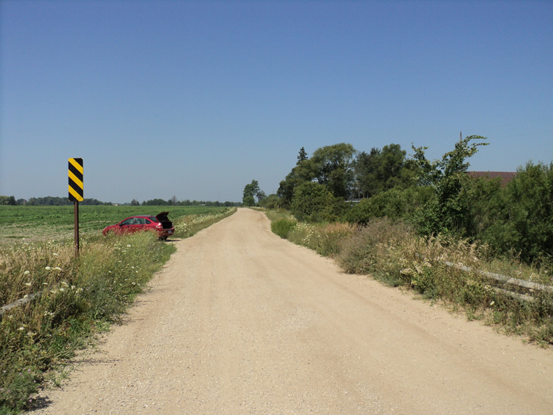
Filburn Rd
Custer Twp,
Mason County
Information collected by:
Site Location
GPS Coordinates: 43.96922
, -86.25113
T18N
R16W
Sec 8
Owned by Private
Fish Passability 0.5
Total Erosion: 0.8165 tons/year
Severity: Moderate
Year Inventoried: 2014
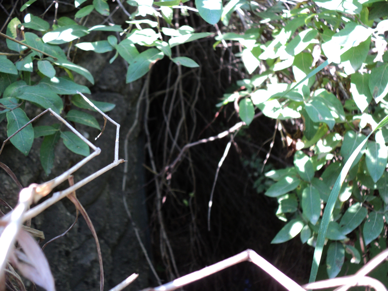
Inlet
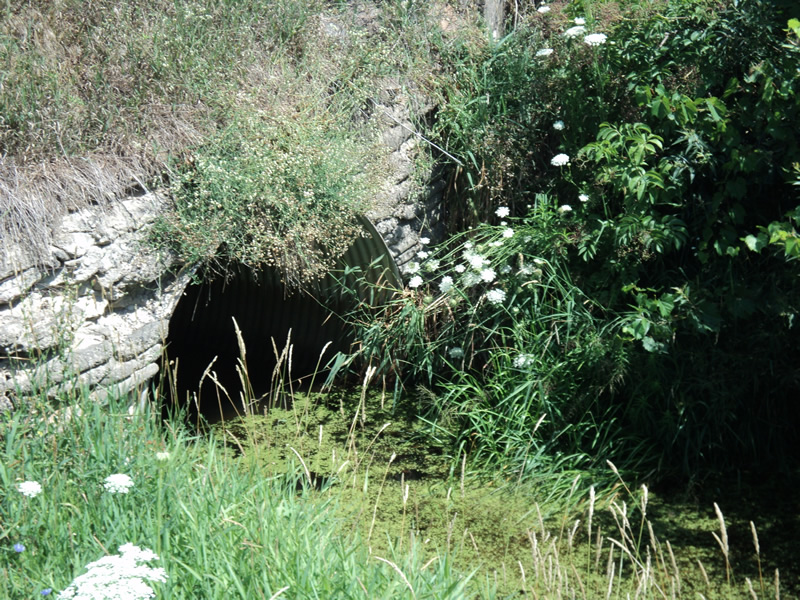
Outlet
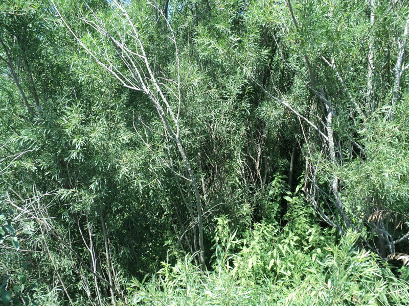
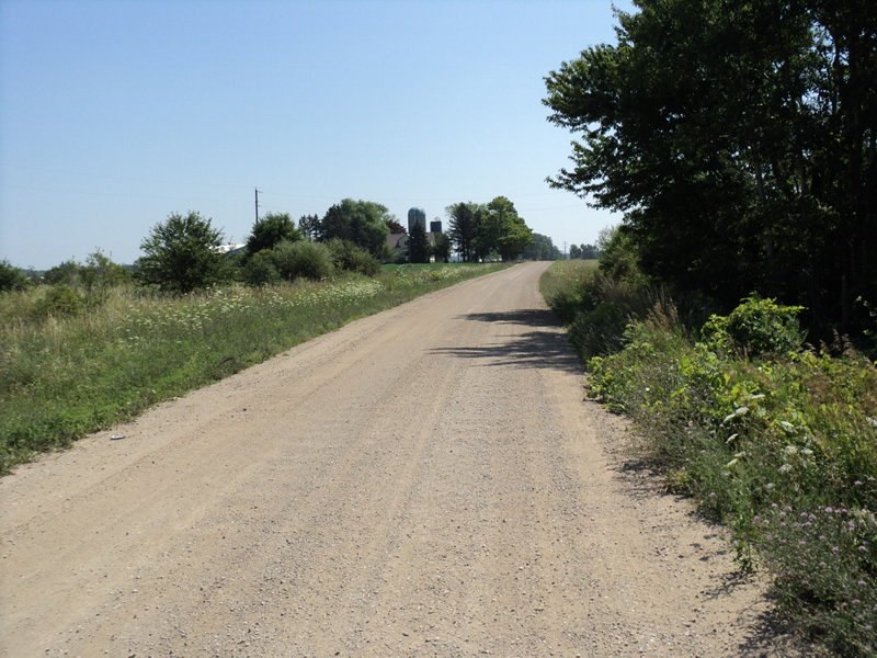
Upstream Conditions
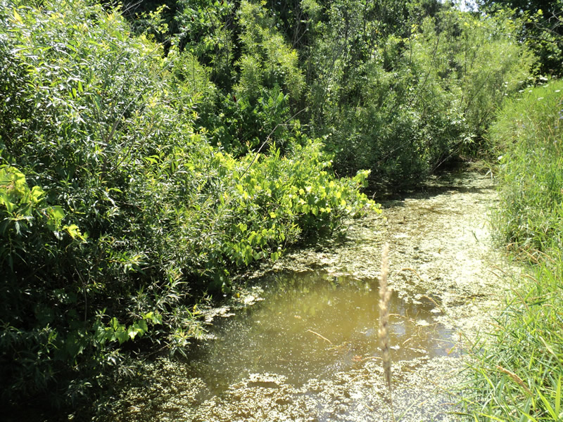
Downstream Conditions
Road Approach - Left
Road Approach - Right
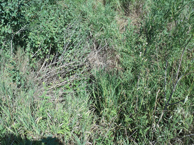
Erosion
Erosion
Crossing Information
Type of Crossing: culvert(s)
Number of Structures: 1
Structure Shape: Pipe Arch
Inlet Type: Headwall
Outlet Type: At Stream Grade
Structure Material: Metal
Structure Substrate: Mixture
General Conditions: Poor
Structure Interior: corrugated
Dimensions of Structure: Length 36 ft.
, Width 7 ft.
, Height 5 ft.
Water Depth: 0 ft.
Water Velocity*: 0 ft./sec.
Structure Outlet
Water Depth: 1 ft.
Water Velocity*: 0 ft./sec.
Stream Information
Stream Flow: None
Riffle Information
Water Depth: 0 ft.
Water Velocity: 0 ft./sec.
Road Information
Gravel
County Road
Road Condition: Good
Road Width at Culvert: 18 ft.
Location of Low Point: Other
Runoff Path: Ditch
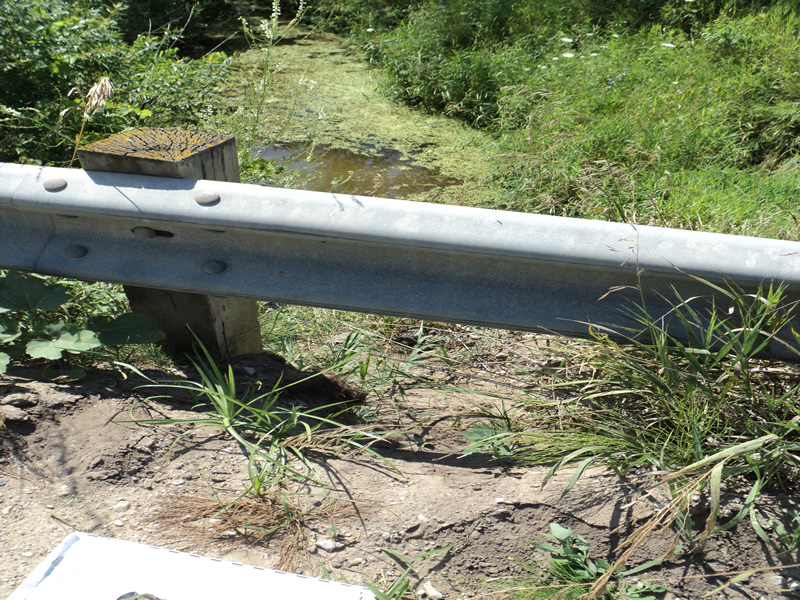
Embankments
Upstream
Fill Depth: 4.5 ft.
Slope: 1:1.5
Downstream
Fill Depth: 4.5 ft.
Slope: 1:1.5
Approaches
Left Approach
Length: 300 ft.
Slope: 1% to 5%
Vegetation: Heavy
LS Factor: 0.46
Erosion: 0.6843 tons/year
Right Approach
Length: 200 ft.
Slope: Less Than 1%
Vegetation: Heavy
LS Factor: 0.05
Erosion: 0.0496 tons/year
Erosion Information
Total Erosion at Crossing: 0.8165 tons/year
Extent of Erosion: Moderate
Location of Erosion | Erosion Dimensions | Eroded Material | Material Eroded | Total Erosion | ||
facing downstream | Length | Width | Depth | Reaching Stream? | (tons/year) | |
Left Upstream Embankment |
5 ft. |
5 ft. |
2 ft. |
yes |
Loam |
0.0616 |
Right Downstream Embankment |
6 ft. |
2 ft. |
0.5 ft. |
yes |
Gravelly Loam |
0.021 |
Summary Information
Fish Passability 0.5
A future visit to this site is recommended. large hole in upstream embankment behind headwall caused by erosion
These non-native species were observerd at this site: Knapweed
�