Road Stream Crossing Site PM_M061
Pere Marquette River Watershed, Black Creek
Tuttle Rd
Custer Twp,
Mason County
Information collected by:
Site Location
GPS Coordinates: 43.96589
, -86.23965
T18N
R16W
Sec 8
Owned by Private
Total Erosion: 0.1663 tons/year
Severity: Minor
Year Inventoried: 2014
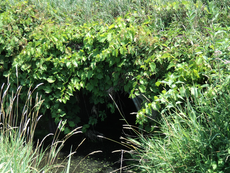
Inlet
Outlet
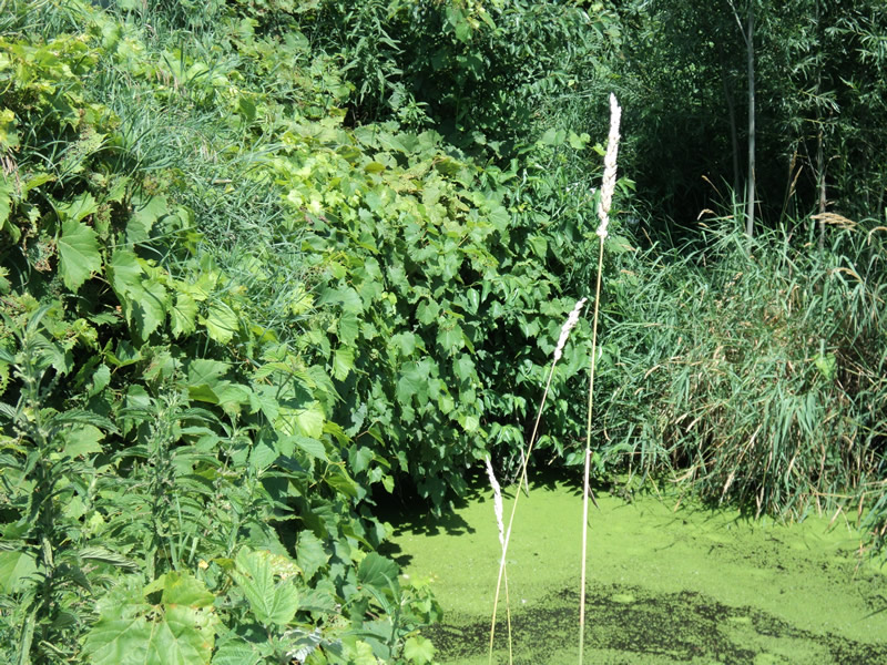
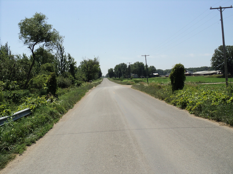
Upstream Conditions
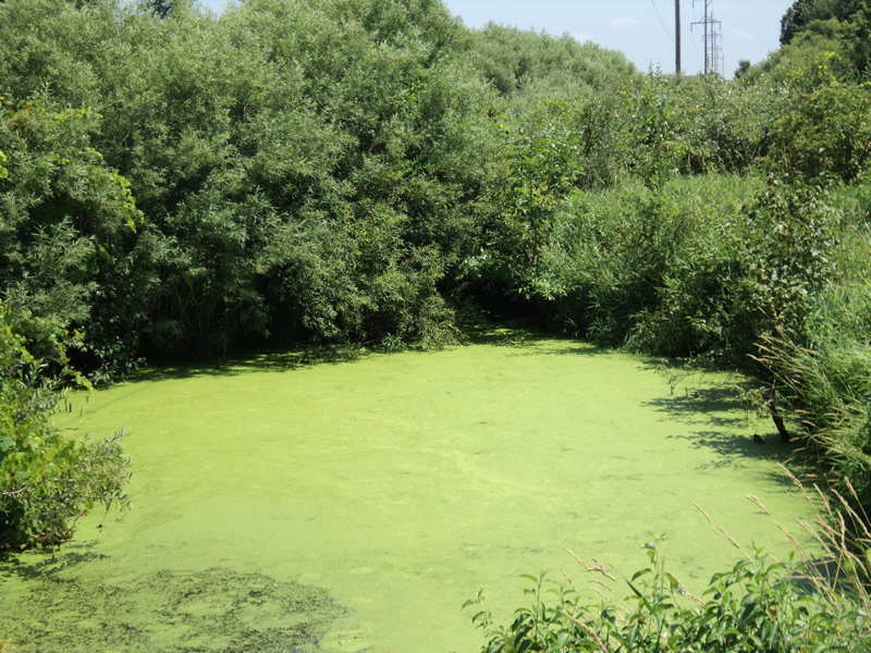
Downstream Conditions
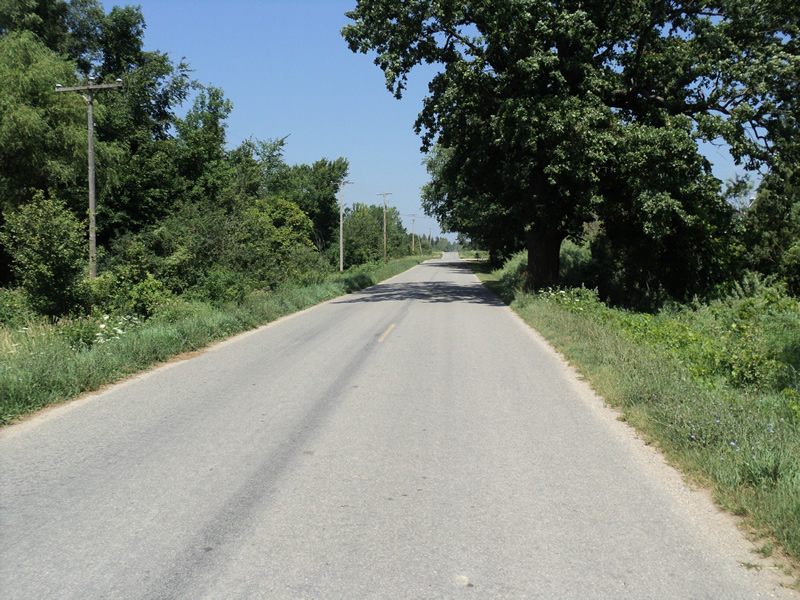
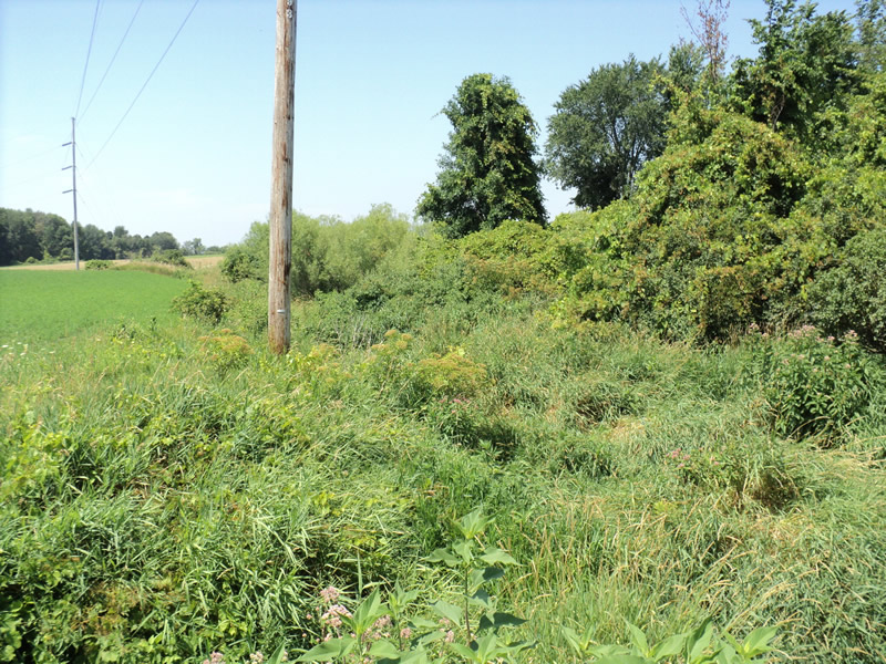
Road Approach - Left
Road Approach - Right
Crossing Information
Type of Crossing: culvert(s)
Number of Structures: 1
Structure Shape: Round
Inlet Type: Headwall
Outlet Type: At Stream Grade
Structure Material: Metal
Structure Substrate: Mixture
General Conditions: Fair
Structure Interior: corrugated
Dimensions of Structure: Length 42 ft.
, Width 5 ft.
, Height 5 ft.
Structure Inlet
Water Depth: 1.6 ft.
Water Velocity*: 0 ft./sec.
Structure Outlet
Water Depth: 2.2 ft.
Water Velocity*: 0 ft./sec.
*Water Velocities were measured 1 ft. below Surface
(with Meter)
Additional Comments
Landowner said culvert floods during rains and spring runoff.
Stream Information
Stream Flow: None
Scour Pool: Length 50 ft.
, Width 20 ft.
, Depth 2 ft.
Riffle Information
Water Depth: 0 ft.
Water Velocity: 0 ft./sec.
(Measured with Meter)
Dominant Substrate: Organics
Road Information
Paved
County Road
Road Condition: Good
Road Width at Culvert: 22 ft.
Location of Low Point: At Stream
Runoff Path: Ditch
Embankments
Upstream
Fill Depth: 2.5 ft.
Slope: 1:1.5
Downstream
Fill Depth: 3 ft.
Slope: 1:1.5
Approaches
Left Approach
Length: 210 ft.
Slope: 1% to 5%
Vegetation: Heavy
LS Factor: 0.432
Erosion: 0.066 tons/year
Right Approach
Length: 300 ft.
Slope: 1% to 5%
Vegetation: Heavy
LS Factor: 0.46
Erosion: 0.1004 tons/year
Erosion Information
Total Erosion at Crossing: 0.1663 tons/year
Extent of Erosion: Minor
Summary Information
Erosion is an area of concern for this site.
A future visit to this site is recommended.
Floods in spring and after rains.
�