Road Stream Crossing Site PM_M062
Pere Marquette River Watershed, Pere Marquette tributary
Broadway St
Custer Twp,
Mason County
Information collected by:
Site Location
GPS Coordinates: 43.95603
, -86.27428
T18N
R16W
Sec 18
Owned by Local Government
Total Erosion: 0.1565 tons/year
Severity: Moderate
Year Inventoried: 2014
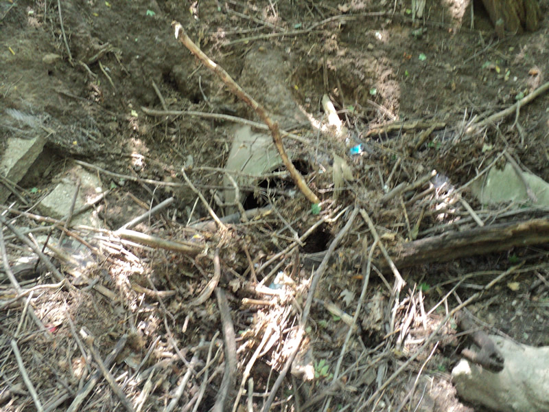
Inlet
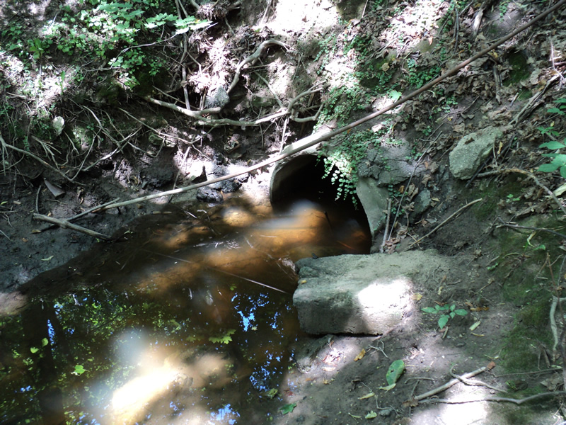
Outlet
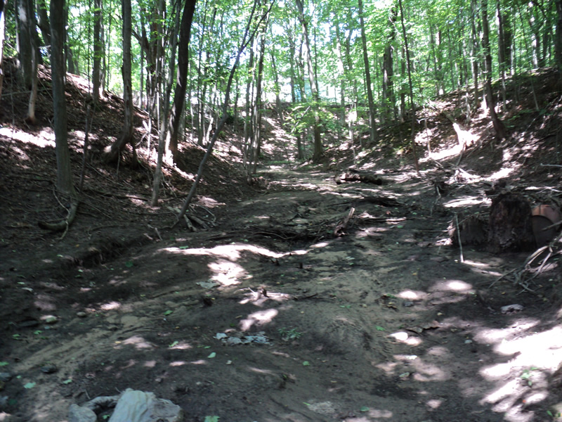
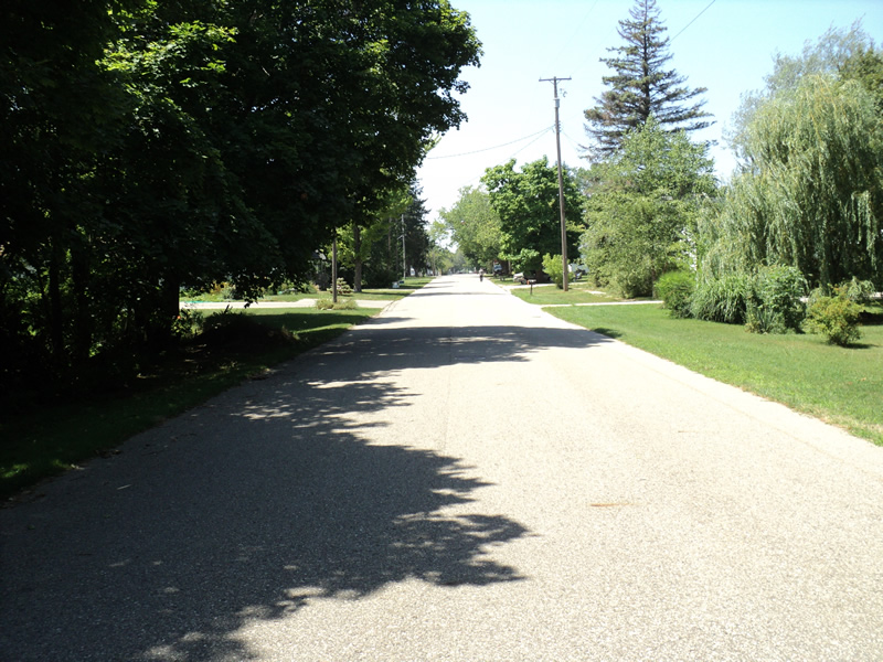
Upstream Conditions
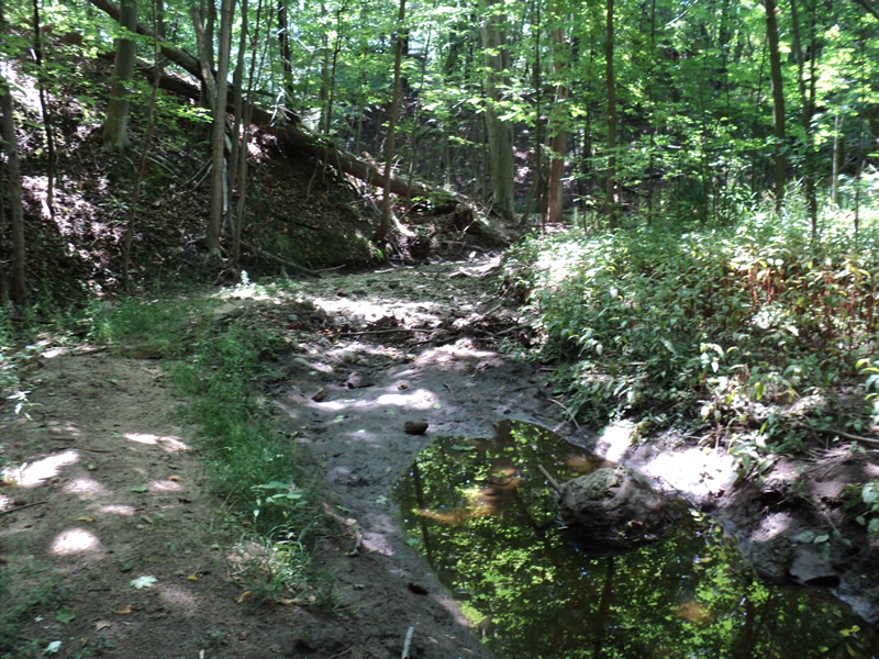
Downstream Conditions
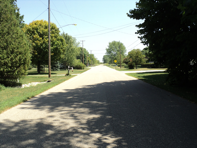
Road Approach - Left
Road Approach - Right
Crossing Information
Type of Crossing: culvert(s)
Number of Structures: 1
Structure Shape: Round
Inlet Type: Projecting
Outlet Type: At Stream Grade
Structure Material: Concrete
Structure Substrate: Mixture
General Conditions: Poor
Structure Interior: smooth
Dimensions of Structure: Length 120 ft.
, Width 3 ft.
, Height 3 ft.
Percentage Plugged:
Inlet: 76% to 100%
Outlet: 0%
In Pipe: 0%
Water Depth: 0 ft.
Water Velocity*: 0 ft./sec.
Structure Outlet
Water Depth: 1.2 ft.
Embedded Depth of Structure: 0.4 ft.
Water Velocity*: 0 ft./sec.
Stream Information
Stream Flow: None
Riffle Information
Water Depth: 0 ft.
(Measured with Meter)
Dominant Substrate: Organics
Road Information
Paved
Town Road
Road Condition: Good
Road Width at Culvert: 26 ft.
Location of Low Point: Other
Runoff Path: Ditch
Embankments
Upstream
Fill Depth: 25 ft.
Slope: 1:1.5
Downstream
Fill Depth: 25 ft.
Slope: 1:1.5
Approaches
Left Approach
Length: 150 ft.
Slope: Less Than 1%
Vegetation: Heavy
LS Factor: 0.05
Erosion: 0.0064 tons/year
Right Approach
Length: 250 ft.
Slope: 1% to 5%
Vegetation: Heavy
LS Factor: 0.44
Erosion: 0.0945 tons/year
Erosion Information
Total Erosion at Crossing: 0.1565 tons/year
Extent of Erosion: Moderate
Location of Erosion | Erosion Dimensions | Eroded Material | Material Eroded | Total Erosion | ||
facing downstream | Length | Width | Depth | Reaching Stream? | (tons/year) | |
Left Upstream Embankment |
30 ft. |
15 ft. |
0.1 ft. |
yes |
Loam |
0.0185 |
Right Upstream Embankment |
30 ft. |
15 ft. |
0.1 ft. |
yes |
Loam |
0.0185 |
Right Downstream Embankment |
30 ft. |
30 ft. |
0.1 ft. |
no |
Loam |
0.0185 |
Summary Information
Erosion is an area of concern for this site.
�