Road Stream Crossing Site PM_M063
Pere Marquette River Watershed, Pere Marquette tributary
US-10
Custer Twp,
Mason County
Information collected by:
Site Location
GPS Coordinates: 43.95488
, -86.273753
T18N
R16W
Sec 18
Owned by Local Government
Total Erosion: 0.3494 tons/year
Severity: Moderate
Year Inventoried: 2014
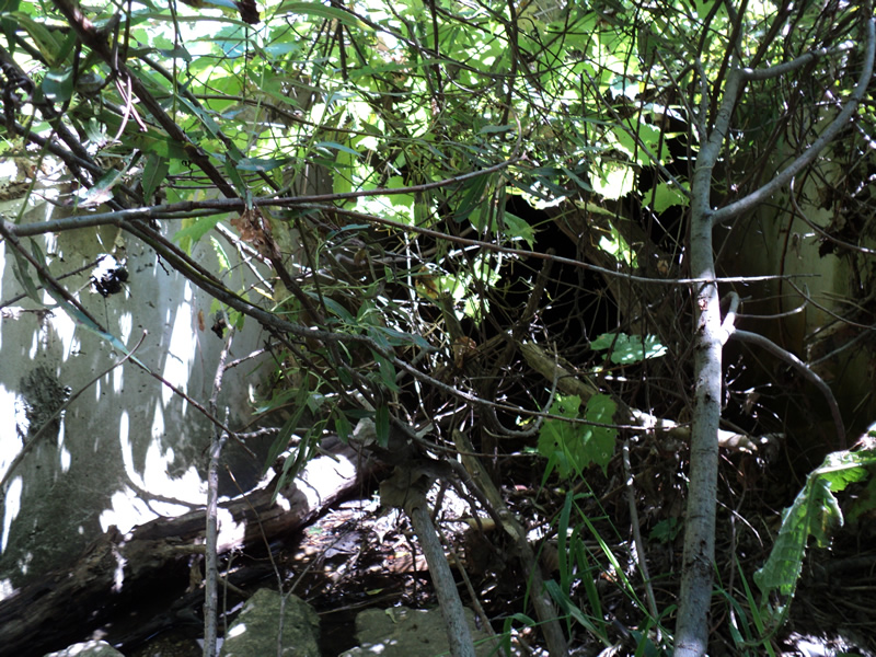
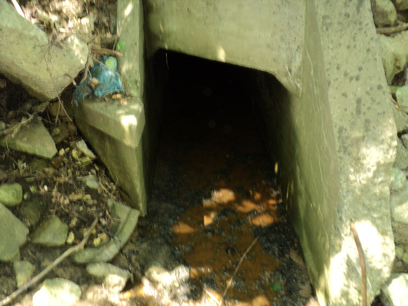
Inlet
Outlet
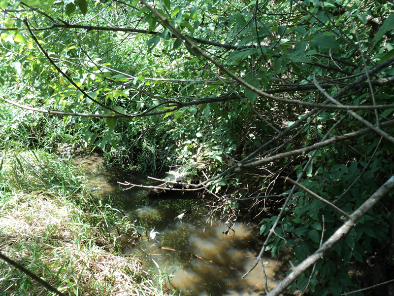
Upstream Conditions
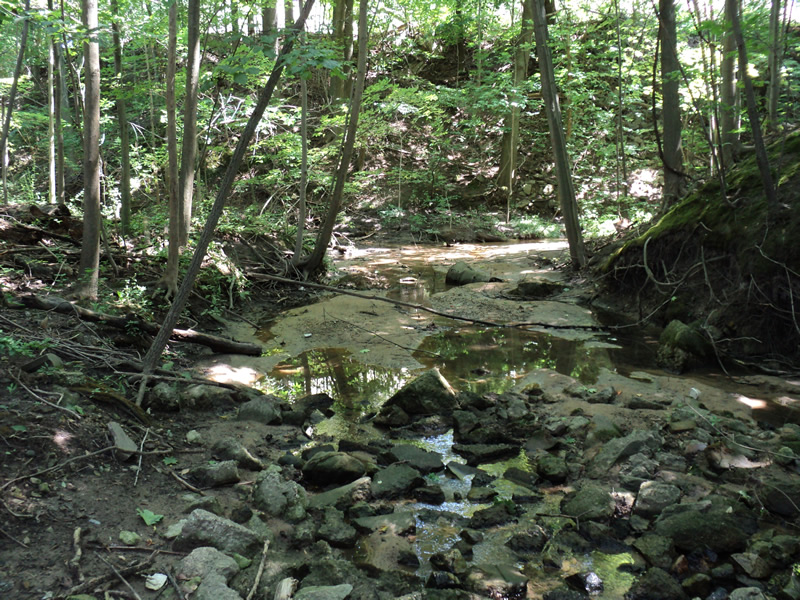
Downstream Conditions
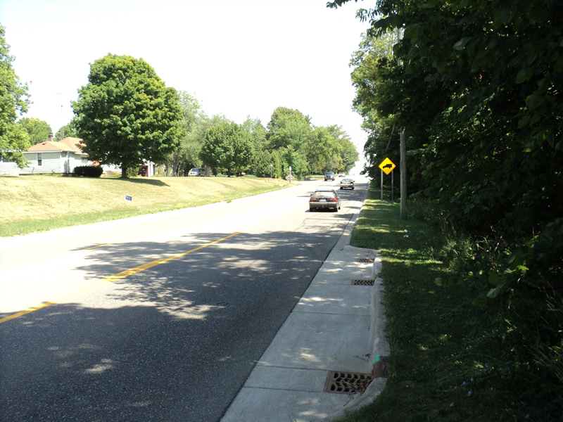
Road Approach - Left
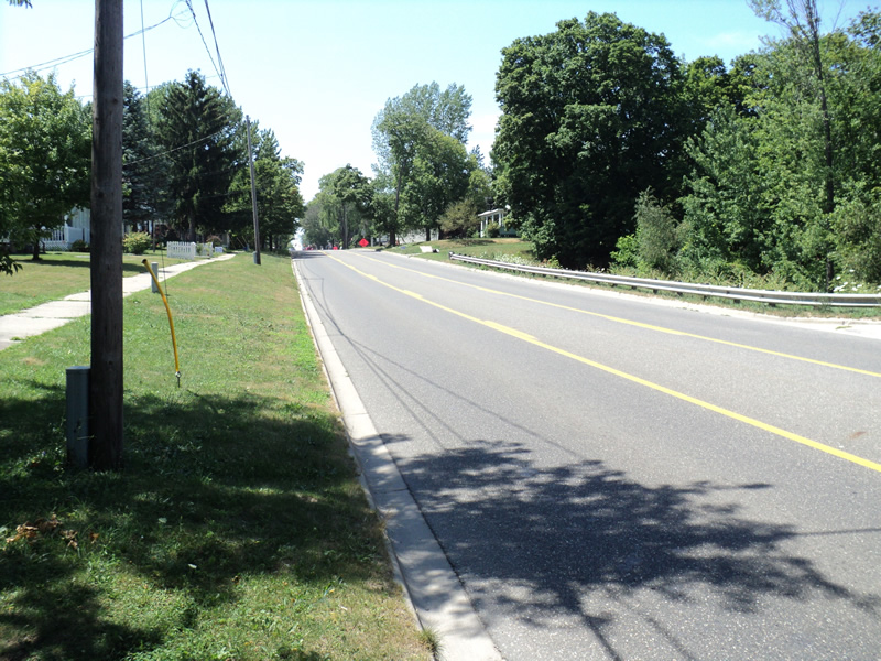
Road Approach - Right
Crossing Information
Type of Crossing: culvert(s)
Number of Structures: 1
Structure Shape: Round
Inlet Type: Mitered
Outlet Type: At Stream Grade
Structure Material: Concrete
Structure Substrate: Mixture
General Conditions: Poor
Structure Interior: smooth
Dimensions of Structure: Length 100 ft.
, Width 3 ft.
, Height 3 ft.
Water Depth: 0 ft.
Water Velocity*: 0 ft./sec.
Water Depth: 0 ft.
Water Velocity*: 0 ft./sec.
(with Float Test)
Additional Comments
Round inlet with square outlet
Stream Information
Stream Flow: None
Riffle Information
Water Depth: 0 ft.
(Measured with Meter)
Dominant Substrate: Organics
Road Information
Paved
Federal Road
Road Condition: Good
Road Width at Culvert: 35 ft.
Location of Low Point: At Stream
Runoff Path: Roadway
Embankments
Upstream
Fill Depth: 20 ft.
Slope: 1:1.5
Downstream
Fill Depth: 20 ft.
Slope: 1:1.5
Approaches
Left Approach
Length: 400 ft.
Slope: 1% to 5%
Vegetation: Heavy
LS Factor: 0.48
Erosion: 0.2221 tons/year
Right Approach
Length: 250 ft.
Slope: 1% to 5%
Vegetation: Heavy
LS Factor: 0.44
Erosion: 0.1273 tons/year
Erosion Information
Total Erosion at Crossing: 0.3494 tons/year
Extent of Erosion: Moderate
Summary Information
Erosion is an area of concern for this site.
�