Road Stream Crossing Site PM_M064
Pere Marquette River Watershed, Pere Marquette tributary
(near Green St)
Custer Twp,
Mason County
Information collected by:
Site Location
GPS Coordinates: 43.95421
, -86.27384
T18N
R16W
Sec 16
Year Inventoried: 2014
Inlet
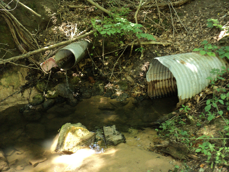
Outlet
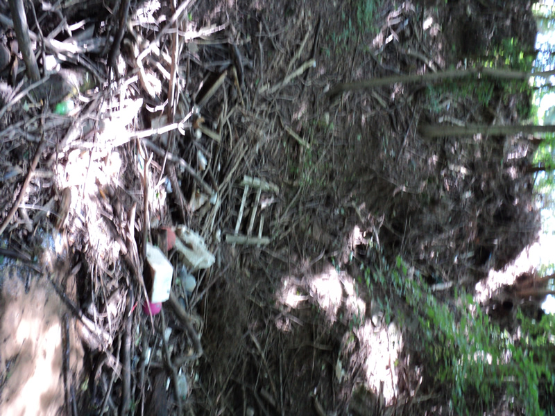
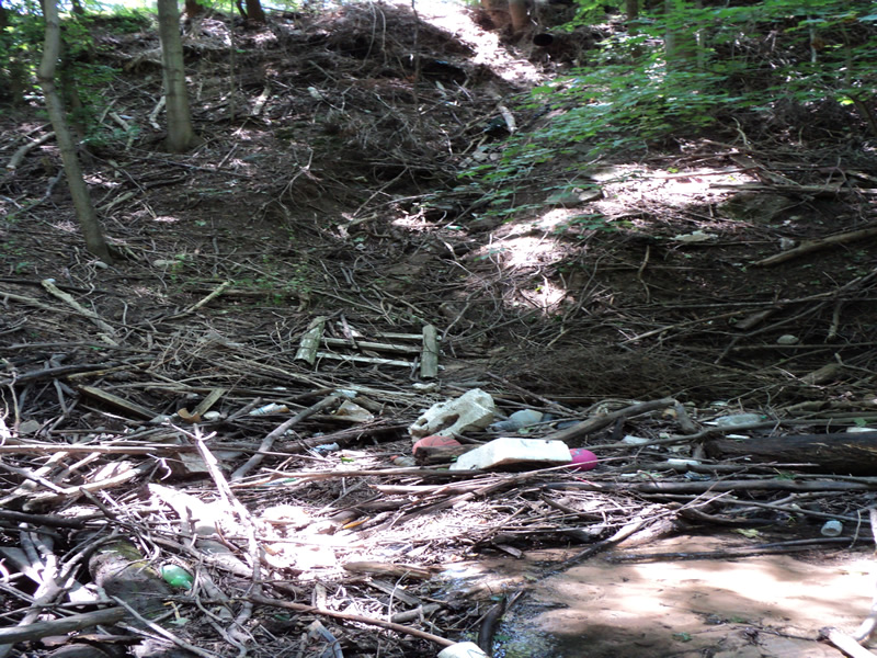
Upstream Conditions
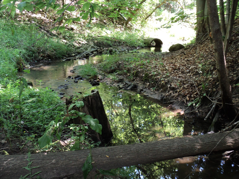
Downstream Conditions
Crossing Information
Type of Crossing: culvert(s)
Number of Structures: 1
Structure Shape: Round
Outlet Type: At Stream Grade
Structure Material: Metal
Structure Substrate: Mixture
General Conditions: Poor
, Width 3 ft.
, Height 3 ft.
Percentage Plugged:
Inlet: 76% to 100%
Water Depth: 0 ft.
Water Velocity*: 0 ft./sec.
Structure Outlet
Water Depth: 1.1 ft.
Water Velocity*: 0.4 ft./sec.
Additional Comments
most of water is from seepage
lots of trash/debris
Stream Information
Stream Flow: Less than 1/2 Bankfull
Road Information
Embankments
Upstream
Fill Depth: 35 ft.
Slope: 1:1
Downstream
Fill Depth: 40 ft.
Slope: 1:1
Erosion Information
Summary Information
�