Road Stream Crossing Site PM_M067
Pere Marquette River Watershed, India Creek
Wilson Rd
Custer Twp,
Mason County
Information collected by:
Site Location
GPS Coordinates: 43.91882
, -86.27516
T18N
R16W
Sec 31
Owned by Private
Fish Passability 0.9
Total Erosion: 0.164 tons/year
Severity: Minor
Year Inventoried: 2014
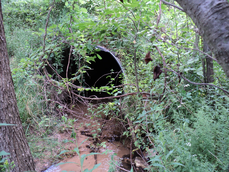
Inlet
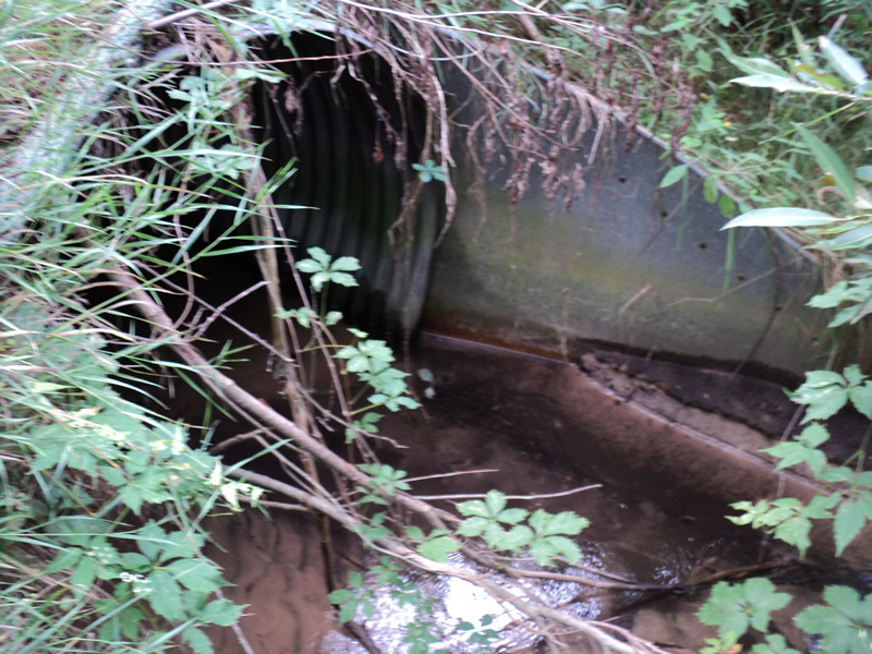
Outlet
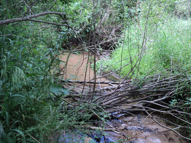
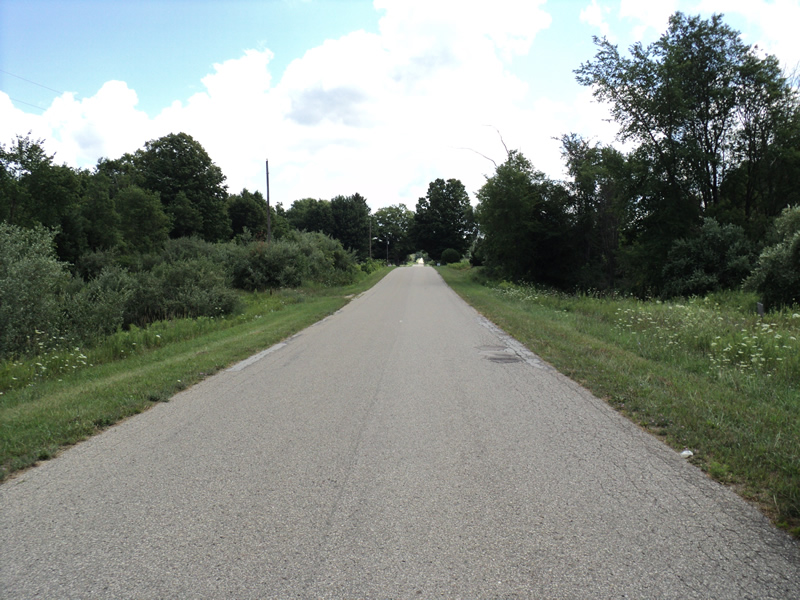
Upstream Conditions
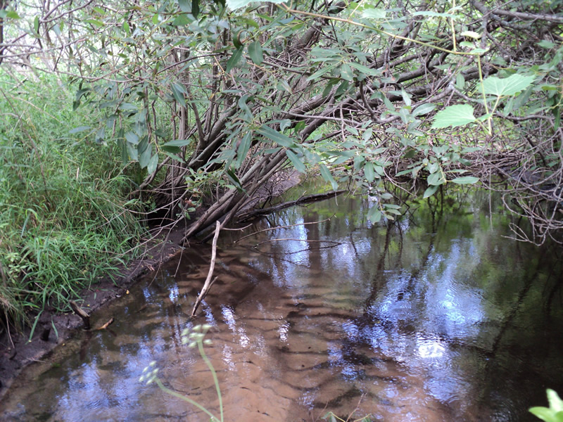
Downstream Conditions
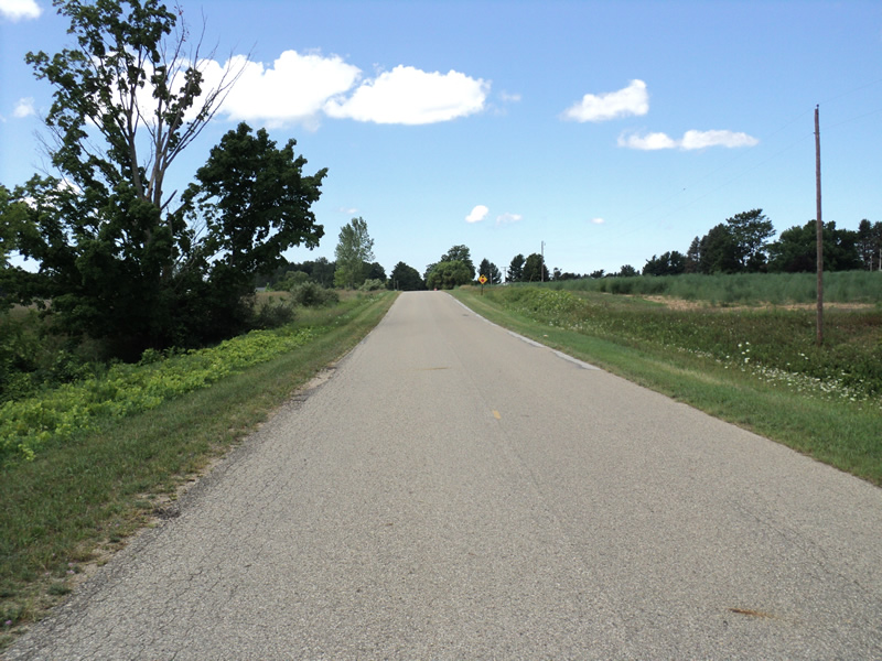
Road Approach - Left
Road Approach - Right
Crossing Information
Type of Crossing: culvert(s)
Number of Structures: 1
Structure Shape: Round
Inlet Type: Mitered
Outlet Type: At Stream Grade
Structure Material: Metal
Structure Substrate: Sand
General Conditions: Good
Structure Interior: corrugated
Dimensions of Structure: Length 90 ft.
, Width 6 ft.
, Height 6 ft.
Structure Inlet
Water Depth: 0.2 ft.
Embedded Depth of Structure: 0.5 ft.
Water Velocity*: 0.6 ft./sec.
Structure Outlet
Water Depth: 0.2 ft.
Embedded Depth of Structure: 0.5 ft.
Water Velocity*: 0.6 ft./sec.
*Water Velocities were measured at the Surface
(with Meter)
Stream Information
Stream Flow: Less than 1/2 Bankfull
Riffle Information
Water Depth: 0.2 ft.
Bankfull Width: 9 ft.
Wetted Width: 7 ft.
Water Velocity: 0.8 ft./sec.
(Measured with Meter)
Dominant Substrate: Sand
Road Information
Paved
County Road
Road Condition: Good
Road Width at Culvert: 20 ft.
Location of Low Point: At Stream
Runoff Path: Ditch
Embankments
Upstream
Fill Depth: 10 ft.
Slope: 1:1.5
Downstream
Fill Depth: 12 ft.
Slope: 1:1.5
Approaches
Left Approach
Length: 250 ft.
Slope: 1% to 5%
Vegetation: Heavy
LS Factor: 0.44
Erosion: 0.0727 tons/year
Right Approach
Length: 300 ft.
Slope: 1% to 5%
Vegetation: Heavy
LS Factor: 0.46
Erosion: 0.0912 tons/year
Erosion Information
Total Erosion at Crossing: 0.164 tons/year
Summary Information
Fish Passability 0.9
These non-native species were observerd at this site: Knapweed
�