Road Stream Crossing Site PM_M069
Pere Marquette River Watershed, India Creek
Powers
Riverton Twp,
Mason County
Information collected by:
Site Location
GPS Coordinates: 43.92784
, -86.28195
T18N
R17W
Sec 25
Owned by Private
Fish Passability 0
Perch Height: 0.3 ft.
Total Erosion: 0.2318 tons/year
Severity: Severe
Year Inventoried: 2014
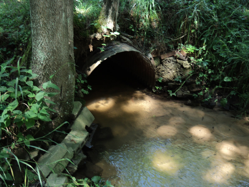
Inlet
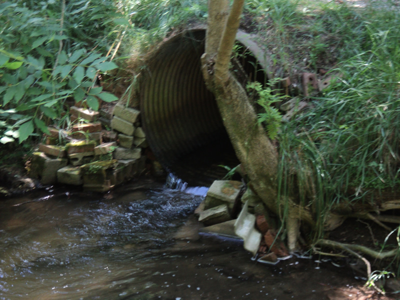
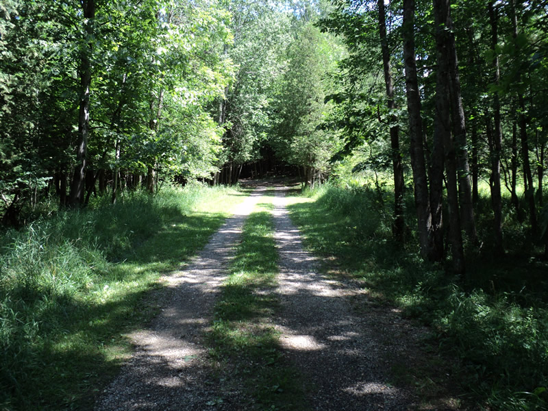
Outlet
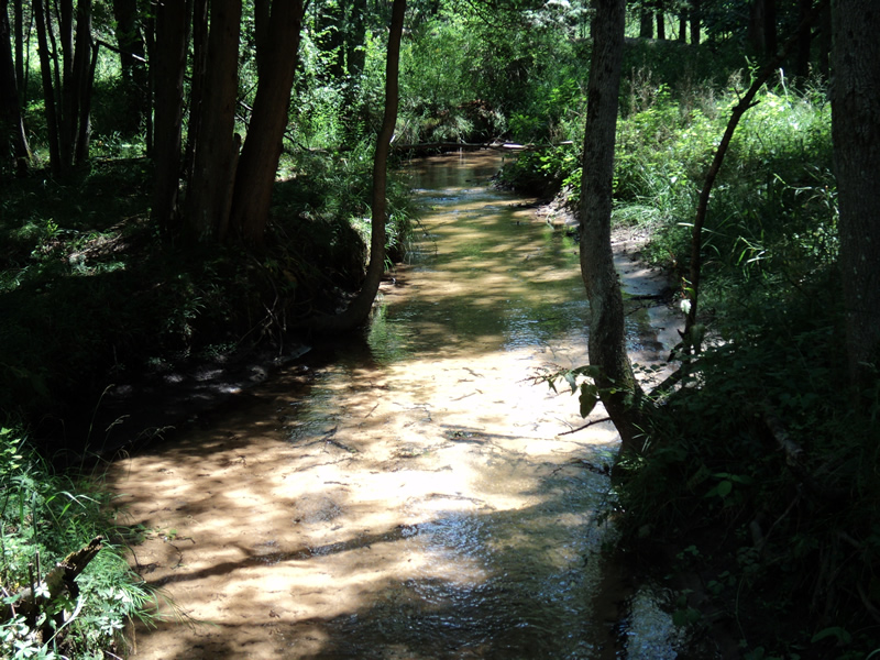
Upstream Conditions
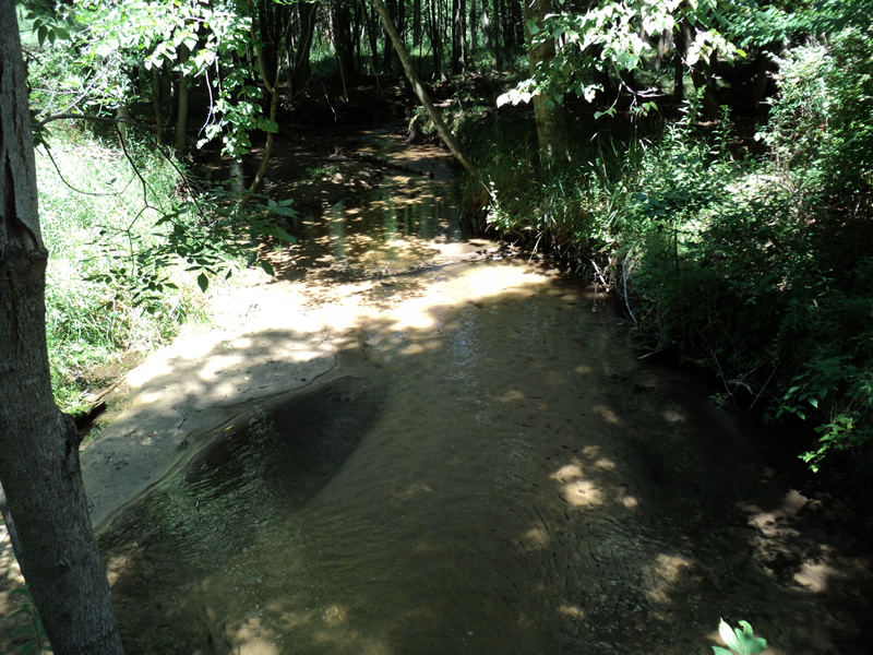
Downstream Conditions
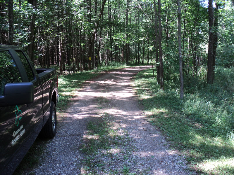
Road Approach - Left
Road Approach - Right
Crossing Information
Type of Crossing: culvert(s)
Number of Structures: 1
Structure Shape: Round
Inlet Type: Projecting
Outlet Type: Freefall into Pool
Structure Material: Metal
Structure Substrate: Sand
General Conditions: Fair
Structure Interior: corrugated
Dimensions of Structure: Length 16 ft.
, Width 4 ft.
, Height 4 ft.
Perch Height: 0.3 ft.
Structure Inlet
Water Depth: 0.8 ft.
Embedded Depth of Structure: 0.3 ft.
Water Velocity*: 0.9 ft./sec.
Structure Outlet
Water Depth: 0.3 ft.
Embedded Depth of Structure: 0 ft.
Water Velocity*: 4.3 ft./sec.
*Water Velocities were measured 0.5 ft. below Surface
(with Meter)
Additional Comments
both embankments stabilized with old bricks and cinder blocks
Stream Information
Stream Flow: Less than 1/2 Bankfull
Riffle Information
Water Depth: 0.2 ft.
Bankfull Width: 10 ft.
Wetted Width: 7 ft.
Water Velocity: 0.4 ft./sec.
(Measured with Meter)
Dominant Substrate: Sand
Road Information
Gravel
Other Road
Road Condition: Fair
Road Width at Culvert: 9 ft.
Location of Low Point: Other
Runoff Path: Roadway
Embankments
Upstream
Fill Depth: 1.5 ft.
Slope: Vertical
Downstream
Fill Depth: 0.2 ft.
Slope: 1:2
Approaches
Left Approach
Length: 200 ft.
Slope: 1% to 5%
Vegetation: Heavy
LS Factor: 0.43
Erosion: 0.2132 tons/year
Right Approach
Length: 150 ft.
Slope: Less Than 1%
Vegetation: Heavy
LS Factor: 0.05
Erosion: 0.0186 tons/year
Erosion Information
Total Erosion at Crossing: 0.2318 tons/year
Summary Information
Fish Passability 0
�