Road Stream Crossing Site PM_M070
Pere Marquette River Watershed, India Creek
Scottville Rd
Custer Twp,
Mason County
Information collected by:
Site Location
GPS Coordinates: 43.92422
, -86.27919
T18N
R16W
Sec 30
Owned by Private
Fish Passability 0
Total Erosion: 0.5371 tons/year
Severity: Severe
Year Inventoried: 2014
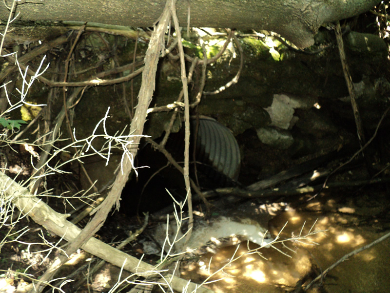
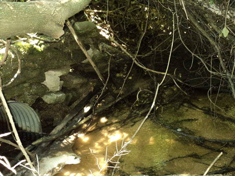
Inlet
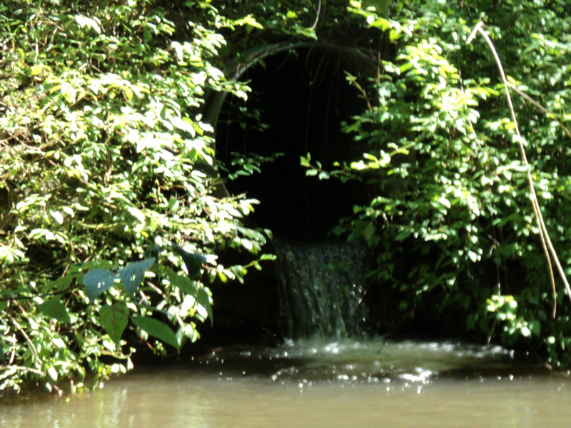
Outlet
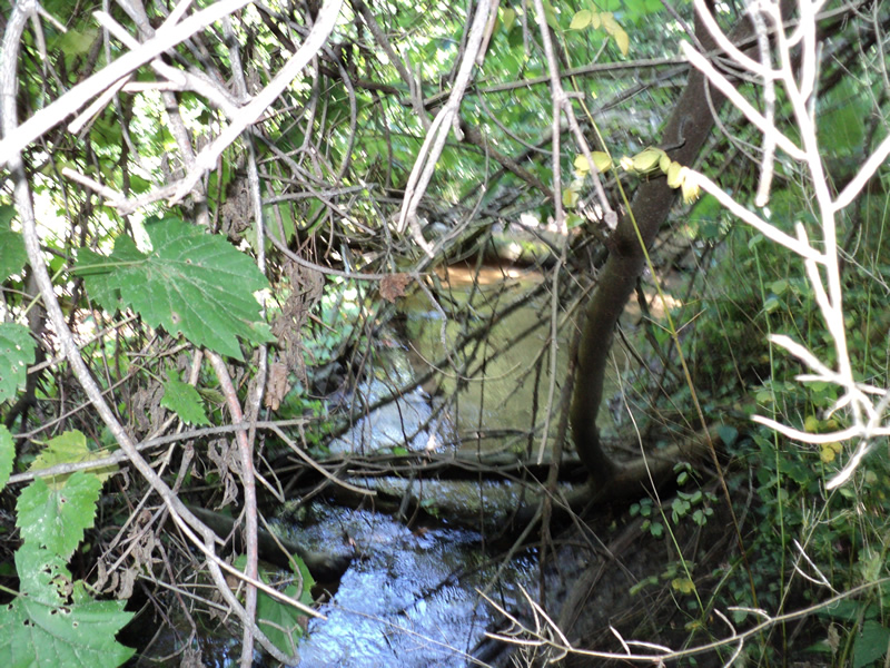
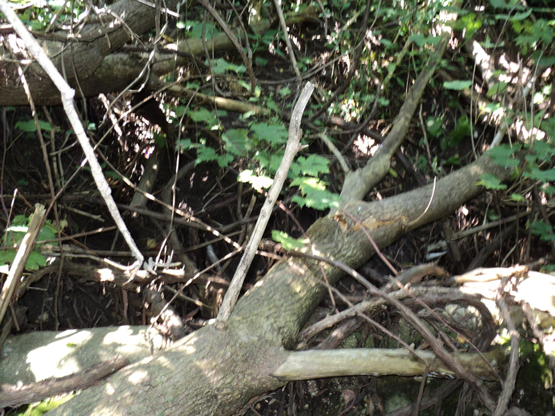
Upstream Conditions
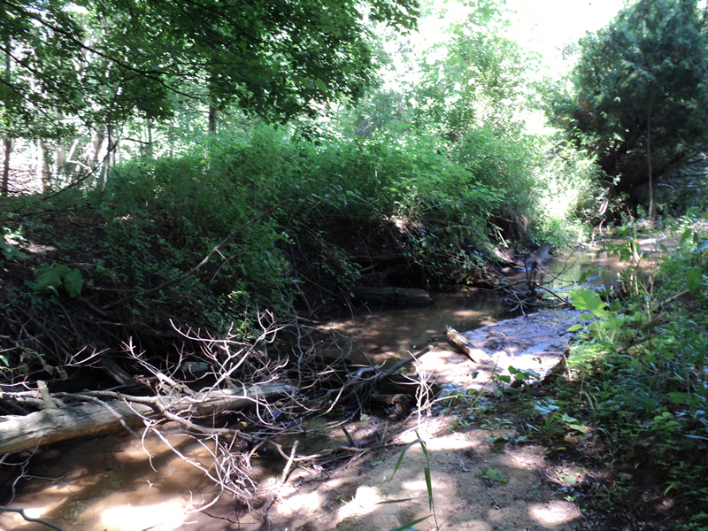
Downstream Conditions
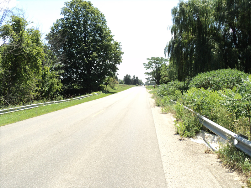
Road Approach - Left
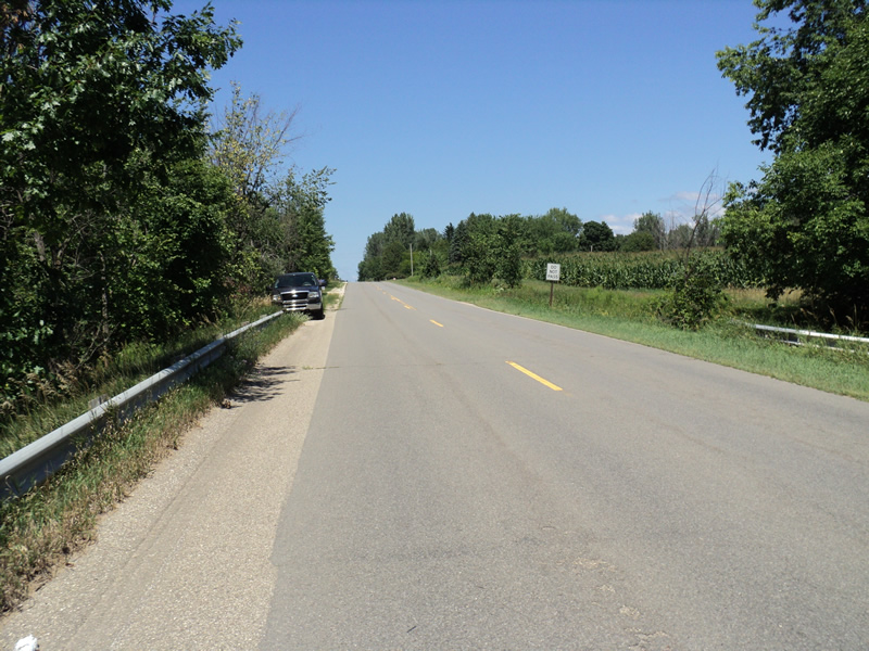
Road Approach - Right
Erosion
Erosion
Crossing Information
Type of Crossing: culvert(s)
Number of Structures: 1
Structure Shape: Round
Inlet Type: Headwall
Outlet Type: Freefall into Pool
Structure Material: Metal
Structure Substrate: None
General Conditions: Poor
Structure Interior: corrugated
Dimensions of Structure: Length 80 ft.
, Width 3 ft.
, Height 3 ft.
Structure Inlet
Water Depth: 0.3 ft.
Water Velocity*: 2.3 ft./sec.
Structure Outlet
Water Depth: 0.4 ft.
Water Velocity*: 3.4 ft./sec.
*Water Velocities were measured 0.2 ft. below Surface
(with Meter)
Stream Information
Stream Flow: Less than 1/2 Bankfull
Scour Pool: Length 4 ft.
, Width 30 ft.
, Depth 4 ft.
Riffle Information
Water Depth: 0.4 ft.
Bankfull Width: 12 ft.
Wetted Width: 7 ft.
Water Velocity: 0.8 ft./sec.
(Measured with Meter)
Dominant Substrate: Sand
Road Information
Paved
County Road
Road Condition: Good
Road Width at Culvert: 28 ft.
Location of Low Point: At Stream
Runoff Path: Roadway
Embankments
Upstream
Fill Depth: 30 ft.
Slope: 1:1.5
Downstream
Fill Depth: 30 ft.
Slope: 1:1.5
Approaches
Left Approach
Length: 300 ft.
Slope: 1% to 5%
Vegetation: Heavy
LS Factor: 0.46
Erosion: 0.1277 tons/year
Right Approach
Length: 300 ft.
Slope: 1% to 5%
Vegetation: Heavy
LS Factor: 0.46
Erosion: 0.1277 tons/year
Erosion Information
Total Erosion at Crossing: 0.5371 tons/year
Extent of Erosion: Severe
Notes: headwall is badly deteriorating and embankment behind it is eroding under it
Location of Erosion | Erosion Dimensions | Eroded Material | Material Eroded | Total Erosion | ||
facing downstream | Length | Width | Depth | Reaching Stream? | (tons/year) | |
Right Upstream Embankment |
8 ft. |
10 ft. |
2 ft. |
yes |
Loam |
0.2816 |
Summary Information
Fish Passability 0
Erosion is an area of concern for this site.
�