Road Stream Crossing Site PM_M071
Pere Marquette River Watershed, Black Creek
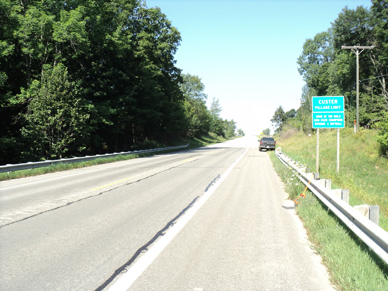
US-10
Custer Twp,
Mason County
Information collected by:
Site Location
GPS Coordinates: 43.95437
, -86.20836
T18N
R16W
Sec 15
Owned by Private
Total Erosion: 1.0818 tons/year
Severity: Moderate
Year Inventoried: 2014
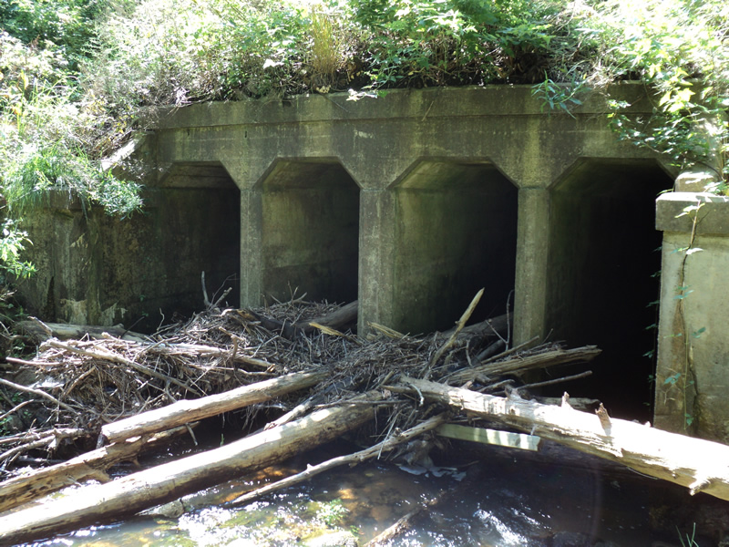
Inlet
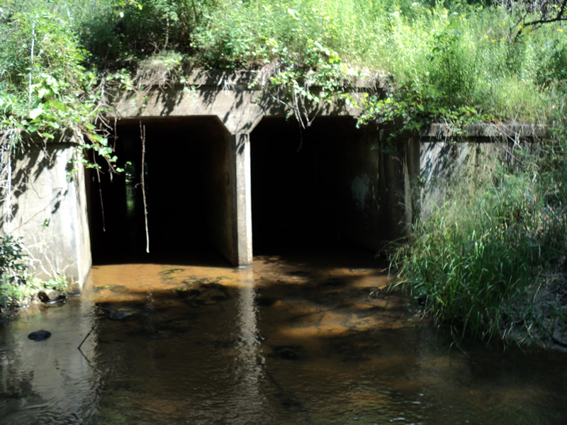
Outlet
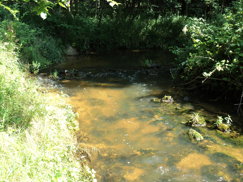
Upstream Conditions
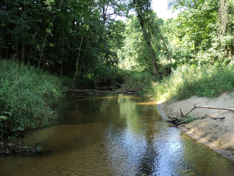
Downstream Conditions

Road Approach - Left
Road Approach - Right
Crossing Information
Type of Crossing: culvert(s)
Number of Structures: 4
Structure Shape: Open Bottom Square/Rectangle
Inlet Type: Headwall
Outlet Type: At Stream Grade
Structure Material: Concrete
Structure Substrate: Sand
General Conditions: Fair
Structure Interior: smooth
Dimensions of Structure: Length 120 ft.
, Width 3 ft.
, Height 8 ft.
Percentage Plugged:
Inlet: 26% to 50%
Outlet: 0%
In Pipe: 0%
Structure Inlet
Water Depth: 0.6 ft.
Water Velocity*: 1.9 ft./sec.
Structure Outlet
Water Depth: 0.4 ft.
Water Velocity*: 0.8 ft./sec.
*Water Velocities were measured 0.5 ft. below Surface
(with Meter)
Additional Comments
4 openings at inlet becomes 2 at outlet headwall is cracking
Stream Information
Stream Flow: Less than 1/2 Bankfull
Riffle Information
Water Depth: 0.2 ft.
Bankfull Width: 19 ft.
Wetted Width: 16 ft.
Water Velocity: 0.5 ft./sec.
(Measured with Meter)
Dominant Substrate: Sand
Road Information
Paved
Federal Road
Road Condition: Good
Road Width at Culvert: 40 ft.
Location of Low Point: At Stream
Runoff Path: Ditch
Embankments
Upstream
Fill Depth: 50 ft.
Slope: 1:1.5
Downstream
Fill Depth: 50 ft.
Slope: 1:1.5
Approaches
Left Approach
Length: 600 ft.
Slope: 1% to 5%
Vegetation: Heavy
LS Factor: 0.52
Erosion: 0.4126 tons/year
Right Approach
Length: 900 ft.
Slope: 1% to 5%
Vegetation: Heavy
LS Factor: 0.56
Erosion: 0.6664 tons/year
Erosion Information
Total Erosion at Crossing: 1.0818 tons/year
Extent of Erosion: Minor
Location of Erosion | Erosion Dimensions | Eroded Material | Material Eroded | Total Erosion | ||
facing downstream | Length | Width | Depth | Reaching Stream? | (tons/year) | |
Left Downstream Streambank |
10 ft. |
2 ft. |
0.1 ft. |
yes |
Sand |
0.0011 |
Right Downstream Streambank |
15 ft. |
2 ft. |
0.1 ft. |
yes |
Sand |
0.0017 |
Summary Information
Fish Passage is an area of concern for this site.
Inlet blocked my log-jam.
�