Road Stream Crossing Site PM_M078
Pere Marquette River Watershed, Swan Creek
Ordway Rd
Eden Twp,
Mason County
Information collected by:
Site Location
GPS Coordinates: 43.88754
, -86.24873
T17N
R16W
Sec 8
Owned by Private
Fish Passability 0.5
Total Erosion: 2.8506 tons/year
Severity: Severe
Year Inventoried: 2014
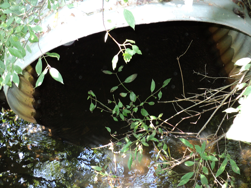
Inlet
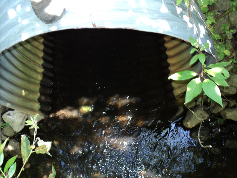
Outlet
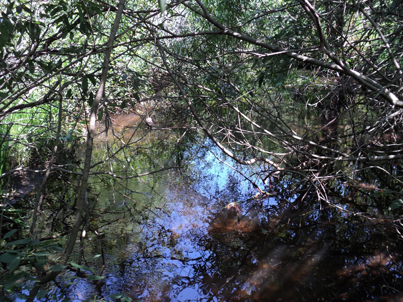
Upstream Conditions
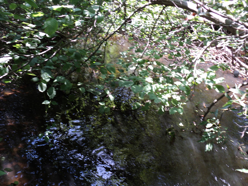
Downstream Conditions
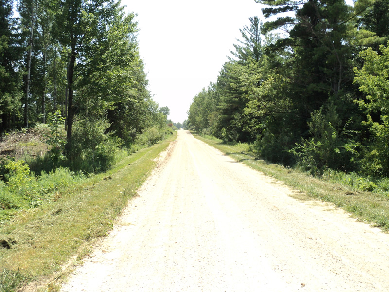
Road Approach - Left
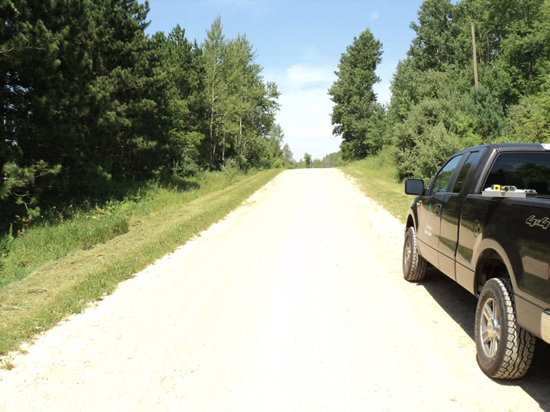
Road Approach - Right
Crossing Information
Type of Crossing: culvert(s)
Number of Structures: 1
Structure Shape: Round
Inlet Type: Projecting
Outlet Type: At Stream Grade
Structure Material: Metal
Structure Substrate: None
General Conditions: Good
Structure Interior: corrugated
Structure is Rusted through
Dimensions of Structure: Length 55 ft.
, Width 4 ft.
, Height 4 ft.
Structure Inlet
Water Depth: 0.8 ft.
Water Velocity*: 0.6 ft./sec.
Structure Outlet
Water Depth: 0.8 ft.
Water Velocity*: 2.7 ft./sec.
*Water Velocities were measured 0.5 ft. below Surface
(with Meter)
Stream Information
Stream Flow: Less than 1/2 Bankfull
Riffle Information
Water Depth: 0.5 ft.
Bankfull Width: 14 ft.
Wetted Width: 12 ft.
Water Velocity: 0.7 ft./sec.
(Measured with Meter)
Dominant Substrate: Sand
Road Information
Gravel
County Road
Road Condition: Good
Road Width at Culvert: 25 ft.
Location of Low Point: At Stream
Runoff Path: Roadway
Embankments
Upstream
Fill Depth: 5 ft.
Slope: 1:1.5
Downstream
Fill Depth: 5 ft.
Slope: 1:2
Approaches
Left Approach
Length: 600 ft.
Slope: 1% to 5%
Vegetation: Heavy
LS Factor: 0.52
Erosion: 2.1488 tons/year
Right Approach
Length: 100 ft.
Slope: 6% to 10%
Vegetation: Heavy
LS Factor: 0.99
Erosion: 0.6818 tons/year
Erosion Information
Total Erosion at Crossing: 2.8506 tons/year
Extent of Erosion: Minor
Location of Erosion | Erosion Dimensions | Eroded Material | Material Eroded | Total Erosion | ||
facing downstream | Length | Width | Depth | Reaching Stream? | (tons/year) | |
Right Approach |
100 ft. |
1 ft. |
0.1 ft. |
yes |
Gravel |
0.01 |
Left Approach |
100 ft. |
1 ft. |
0.1 ft. |
yes |
Gravel |
0.01 |
Summary Information
Fish Passability 0.5
�