Road Stream Crossing Site PM_M080
Pere Marquette River Watershed, Swan Creek tributary
Darr Rd
Eden Twp,
Mason County
Information collected by:
Site Location
GPS Coordinates: 43.87811
, -86.25891
T17N
R16W
Sec 8
Owned by Private
Fish Passability 0.5
Total Erosion: 0.0876 tons/year
Severity: Moderate
Year Inventoried: 2014
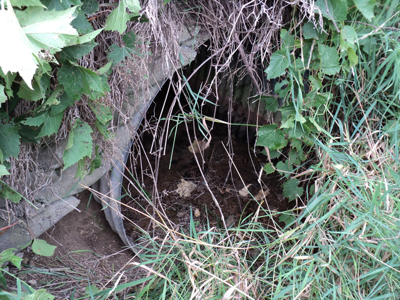
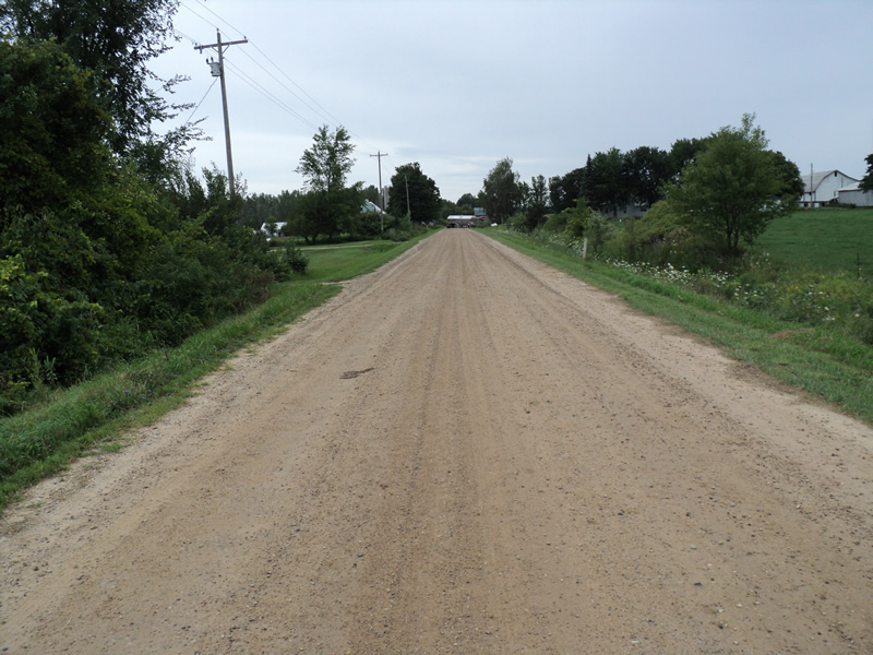
Inlet
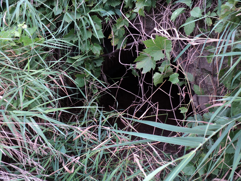
Outlet
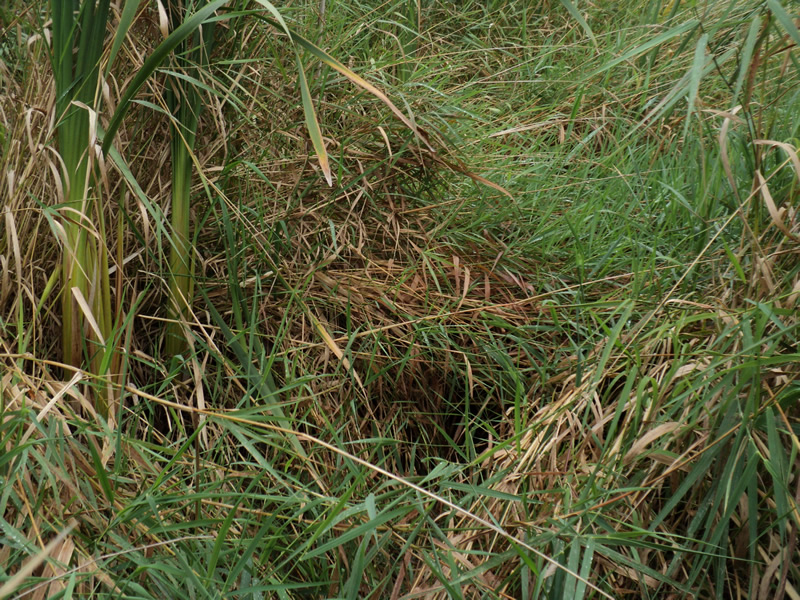
Upstream Conditions
Downstream Conditions
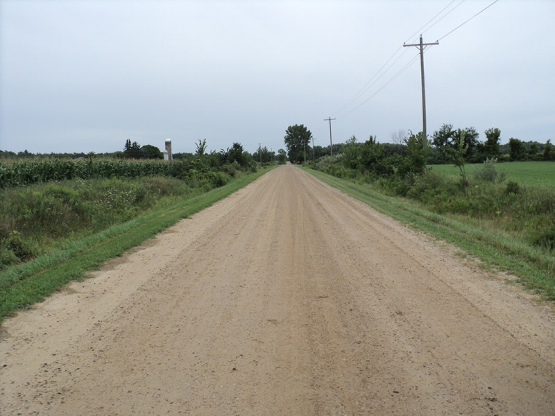
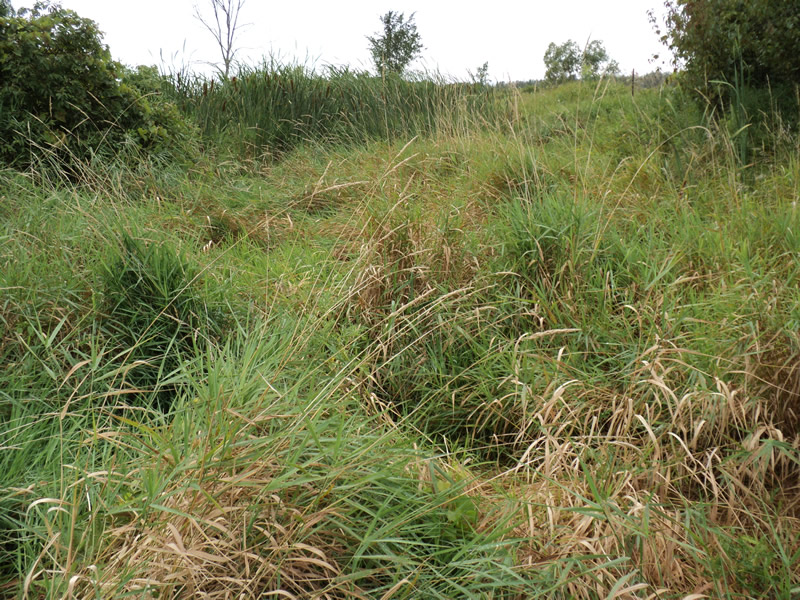
Road Approach - Left
Road Approach - Right
Crossing Information
Type of Crossing: culvert(s)
Number of Structures: 1
Structure Shape: Round
Inlet Type: Headwall
Outlet Type: At Stream Grade
Structure Material: Metal
Structure Substrate: Mixture
General Conditions: Fair
Structure Interior: corrugated
Dimensions of Structure: Length 40 ft.
, Width 3.5 ft.
, Height 3.5 ft.
Structure Inlet
Water Depth: 0.1 ft.
Embedded Depth of Structure: 0.3 ft.
Water Velocity*: 0.1 ft./sec.
Structure Outlet
Water Depth: 0.1 ft.
Embedded Depth of Structure: 0.3 ft.
Water Velocity*: 0.1 ft./sec.
*Water Velocities were measured at the Surface
(with Meter)
Additional Comments
concrete headwalls falling apart
Stream Information
Stream Flow: Less than 1/2 Bankfull
Riffle Information
Water Depth: 0 ft.
Water Velocity: 0 ft./sec.
Road Information
Gravel
County Road
Road Condition: Good
Road Width at Culvert: 21 ft.
Location of Low Point: Other
Runoff Path: Ditch
Embankments
Upstream
Fill Depth: 4 ft.
Slope: 1:2
Downstream
Fill Depth: 4 ft.
Slope: 1:2
Approaches
Left Approach
Length: 150 ft.
Slope: Less Than 1%
Vegetation: Heavy
LS Factor: 0.05
Erosion: 0.0434 tons/year
Right Approach
Length: 150 ft.
Slope: Less Than 1%
Vegetation: Heavy
LS Factor: 0.05
Erosion: 0.0434 tons/year
Erosion Information
Total Erosion at Crossing: 0.0876 tons/year
Extent of Erosion: Minor
Notes: erosion is where headwall has broken away
Location of Erosion | Erosion Dimensions | Eroded Material | Material Eroded | Total Erosion | ||
facing downstream | Length | Width | Depth | Reaching Stream? | (tons/year) | |
Left Upstream Embankment |
2 ft. |
1 ft. |
0.4 ft. |
yes |
Gravel |
0.0008 |
Summary Information
Fish Passability 0.5
�