Road Stream Crossing Site PM_M084
Pere Marquette River Watershed, Swan Creek
Meisenheimer Rd
Riverton Twp,
Mason County
Information collected by:
Site Location
GPS Coordinates: 43.86129
, -86.28738
T17N
R17W
Sec 24
Owned by Private
Fish Passability 0.9
Total Erosion: 7.2327 tons/year
Severity: Severe
Year Inventoried: 2014
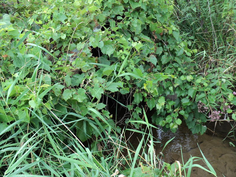
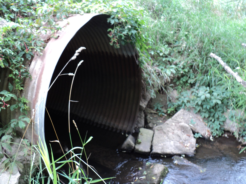
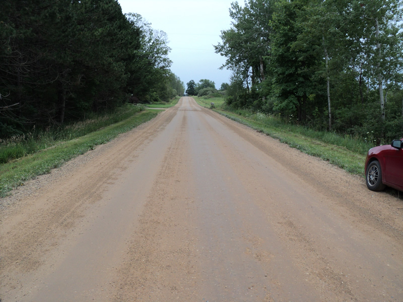
Inlet
Outlet
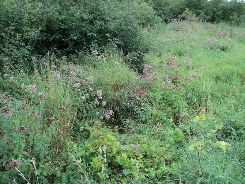
Upstream Conditions
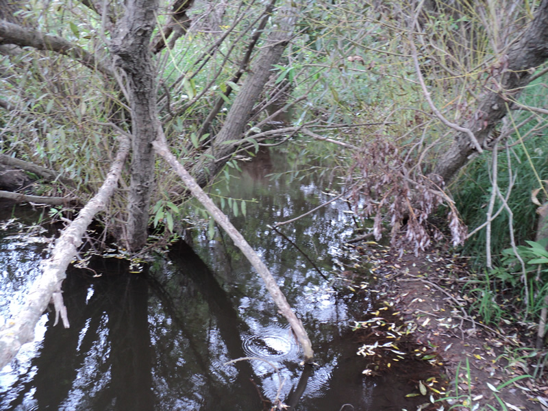
Downstream Conditions
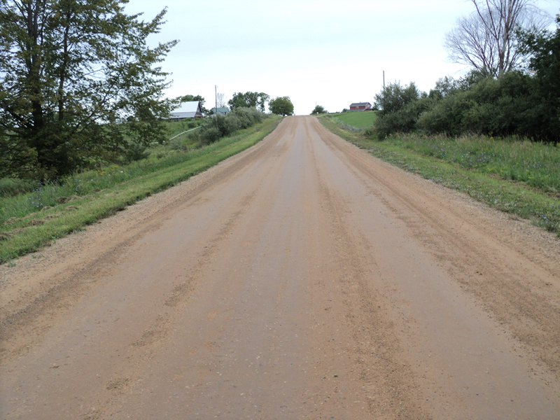
Road Approach - Left
Road Approach - Right
Crossing Information
Type of Crossing: culvert(s)
Number of Structures: 1
Structure Shape: Round
Inlet Type: Projecting
Outlet Type: At Stream Grade
Structure Material: Metal
Structure Substrate: Sand
General Conditions: Good
Structure Interior: corrugated
Dimensions of Structure: Length 56 ft.
, Width 5 ft.
, Height 5 ft.
Structure Inlet
Water Depth: 0.2 ft.
Embedded Depth of Structure: 0.4 ft.
Water Velocity*: 0.8 ft./sec.
Structure Outlet
Water Depth: 0.6 ft.
Water Velocity*: 0.6 ft./sec.
*Water Velocities were measured at the Surface
(with Meter)
Additional Comments
broken concrete used to stabilize banks at outlet
Stream Information
Stream Flow: Less than 1/2 Bankfull
Scour Pool: Length 20 ft.
, Width 10 ft.
, Depth 1.5 ft.
Riffle Information
Water Depth: 0.2 ft.
Bankfull Width: 7 ft.
Wetted Width: 3 ft.
Water Velocity: 0.9 ft./sec.
(Measured with Meter)
Dominant Substrate: Sand
Road Information
Gravel
County Road
Road Condition: Good
Road Width at Culvert: 26 ft.
Location of Low Point: At Stream
Runoff Path: Roadway
Embankments
Upstream
Fill Depth: 2 ft.
Slope: 1:2
Downstream
Fill Depth: 2 ft.
Slope: 1:1.5
Approaches
Left Approach
Length: 440 ft.
Slope: 6% to 10%
Vegetation: Heavy
LS Factor: 1.572
Erosion: 4.9542 tons/year
Right Approach
Length: 610 ft.
Slope: 1% to 5%
Vegetation: Heavy
LS Factor: 0.522
Erosion: 2.2785 tons/year
Erosion Information
Total Erosion at Crossing: 7.2327 tons/year
Extent of Erosion: Minor
Summary Information
Fish Passability 0.9
�