Road Stream Crossing Site PM_M089
Pere Marquette River Watershed, Pere Marquette tributary
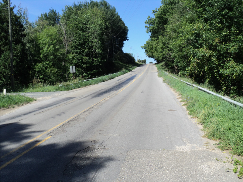
Chauvez Rd
Riverton Twp,
Mason County
Information collected by:
Site Location
GPS Coordinates: 43.90505
, -86.33403
T17N
R17W
Sec 3
Owned by Private
Fish Passability 0.5
Total Erosion: 1.8493 tons/year
Severity: Severe
Year Inventoried: 2014
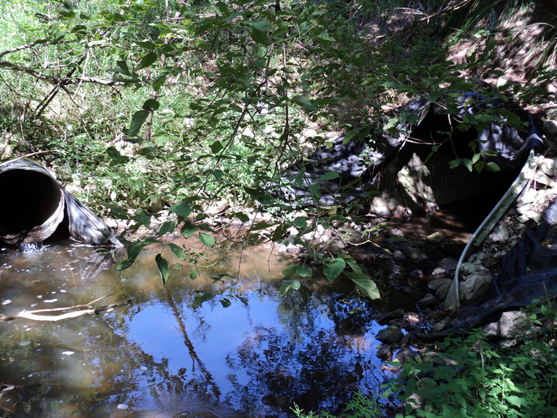
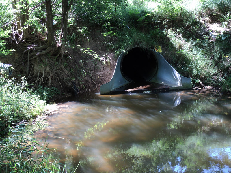
Inlet
Outlet
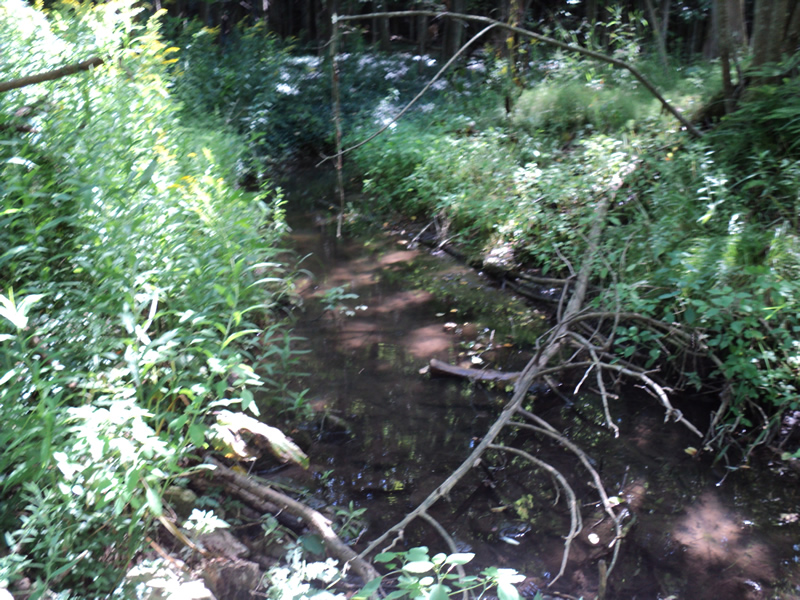
Upstream Conditions
Downstream Conditions
Road Approach - Left
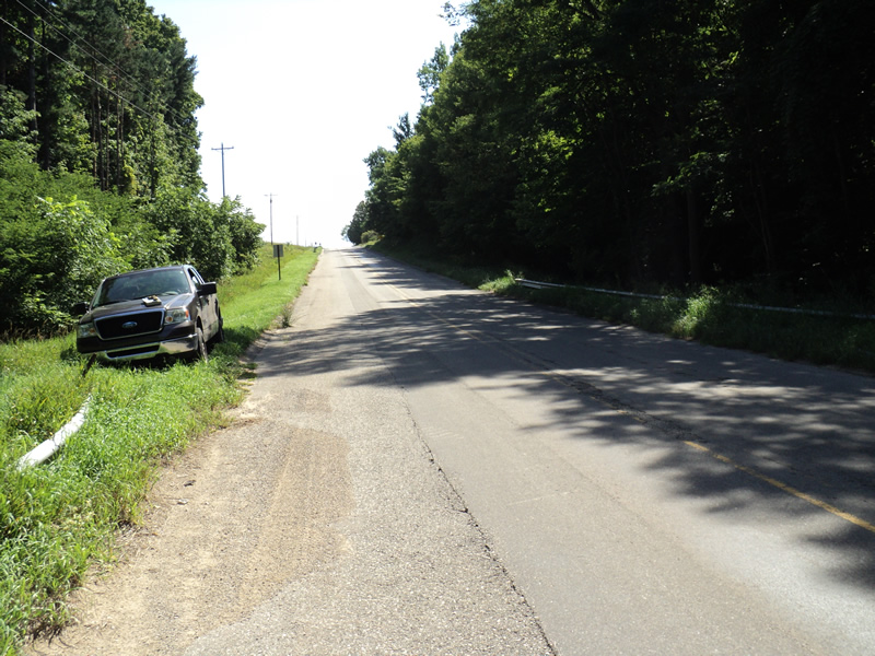
Road Approach - Right
Crossing Information
Type of Crossing: culvert(s)
Number of Structures: 1
Structure Shape: Round
Inlet Type: Apron
Outlet Type: Outlet Apron
Structure Material: Metal
Structure Substrate: None
General Conditions: Good
Structure Interior: corrugated
Dimensions of Structure: Length 90 ft.
, Width 6 ft.
, Height 6 ft.
Structure Inlet
Water Depth: 0.4 ft.
Water Velocity*: 0.4 ft./sec.
Structure Outlet
Water Depth: 0.1 ft.
Water Velocity*: 0.4 ft./sec.
*Water Velocities were measured at the Surface
(with Meter)
Additional Comments
mutiple road culverts draining into inlet and outlet areas
Stream Information
Stream Flow: Less than 1/2 Bankfull
Scour Pool: Length 30 ft.
, Width 25 ft.
, Depth 2 ft.
Upstream Pond: Length 10 ft.
, Width 8 ft.
, Depth 1.5 ft.
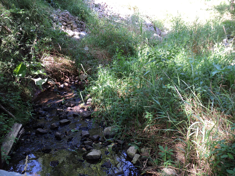
Riffle Information
Water Depth: 0.1 ft.
Bankfull Width: 10 ft.
Wetted Width: 2 ft.
Water Velocity: 0.8 ft./sec.
(Measured with Meter)
Dominant Substrate: Gravel
Road Information
Paved
County Road
Road Condition: Good
Road Width at Culvert: 30 ft.
Location of Low Point: At Stream
Runoff Path: Roadway
Embankments
Upstream
Fill Depth: 18 ft.
Slope: 1:1.5
Downstream
Fill Depth: 16 ft.
Slope: 1:1.5
Approaches
Left Approach
Length: 440 ft.
Slope: 6% to 10%
Vegetation: Heavy
LS Factor: 1.572
Erosion: 0.686 tons/year
Right Approach
Length: 360 ft.
Slope: 6% to 10%
Vegetation: Heavy
LS Factor: 1.478
Erosion: 0.5277 tons/year
Erosion Information
Total Erosion at Crossing: 1.8493 tons/year
Extent of Erosion: Moderate
Location of Erosion | Erosion Dimensions | Eroded Material | Material Eroded | Total Erosion | ||
facing downstream | Length | Width | Depth | Reaching Stream? | (tons/year) | |
Right Downstream Embankment |
10 ft. |
20 ft. |
0.2 ft. |
yes |
Loam |
0.0123 |
Right Downstream Embankment |
6 ft. |
15 ft. |
0.2 ft. |
yes |
Loam |
0.0074 |
Left Approach |
440 ft. |
1 ft. |
0.1 ft. |
yes |
Sand |
0.3388 |
Right Approach |
360 ft. |
1 ft. |
0.1 ft. |
yes |
Sand |
0.2772 |
Summary Information
Fish Passability 0.5
A future visit to this site is recommended. pools and erosion
�