Road Stream Crossing Site PM_M090
Pere Marquette River Watershed, Swan Creek tributary
Chauvez Rd
Riverton Twp,
Mason County
Information collected by:
Site Location
GPS Coordinates: 43.90466
, -86.31039
T18N
R17W
Sec 35
Owned by Private
Total Erosion: 0.1545 tons/year
Severity: Moderate
Year Inventoried: 2014
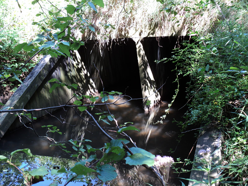
Inlet
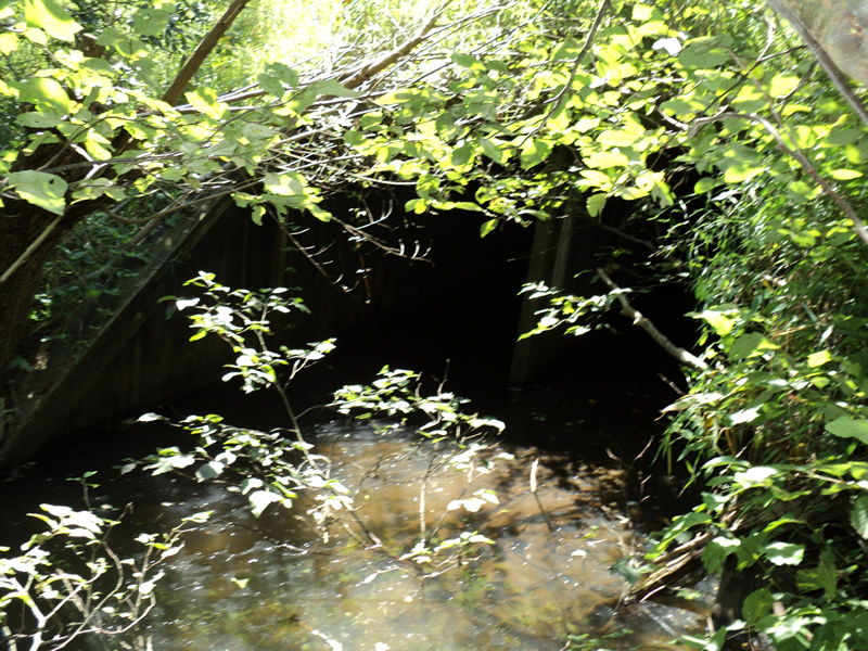
Outlet
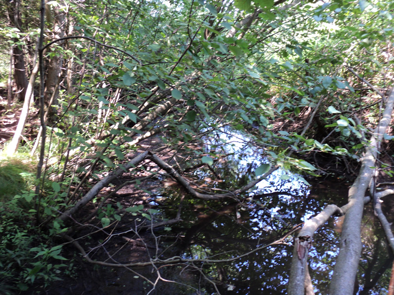
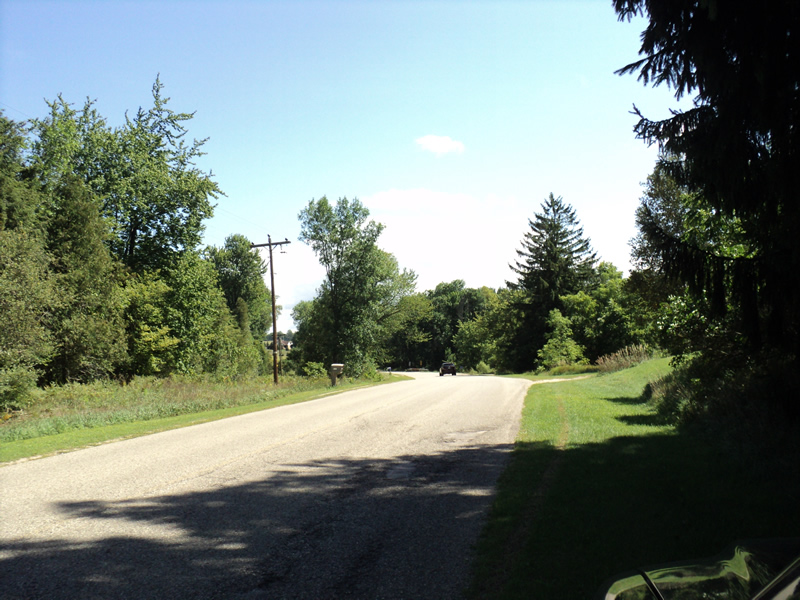
Upstream Conditions
Downstream Conditions
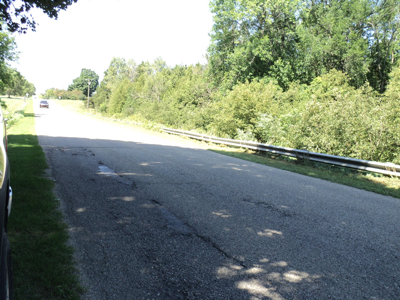
Road Approach - Left
Road Approach - Right
Crossing Information
Type of Crossing: culvert(s)
Number of Structures: 1
Structure Shape: Open Bottom Square/Rectangle
Inlet Type: Mitered
Outlet Type: At Stream Grade
Structure Material: Wood
Structure Substrate: Mixture
General Conditions: Fair
Structure Interior: smooth
Dimensions of Structure: Length 60 ft.
, Width 10 ft.
, Height 5.5 ft.
Structure Inlet
Water Depth: 1 ft.
Water Velocity*: 0 ft./sec.
Structure Outlet
Water Depth: 0.6 ft.
Water Velocity*: 0 ft./sec.
*Water Velocities were measured 0.5 ft. below Surface
(with Meter)
Stream Information
Stream Flow: Less than 1/2 Bankfull
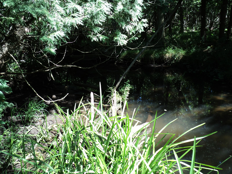
Riffle Information
Water Depth: 0.4 ft.
Bankfull Width: 8 ft.
Wetted Width: 5.5 ft.
Water Velocity: 0.2 ft./sec.
(Measured with Meter)
Dominant Substrate: Organics
Road Information
Paved
County Road
Road Condition: Good
Road Width at Culvert: 23 ft.
Location of Low Point: Other
Runoff Path: Ditch
Embankments
Upstream
Fill Depth: 6 ft.
Slope: 1:1.5
Downstream
Fill Depth: 6 ft.
Slope: 1:1.5
Approaches
Left Approach
Length: 310 ft.
Slope: 1% to 5%
Vegetation: Heavy
LS Factor: 0.462
Erosion: 0.1089 tons/year
Right Approach
Length: 150 ft.
Slope: 1% to 5%
Vegetation: Heavy
LS Factor: 0.4
Erosion: 0.0456 tons/year
Erosion Information
Total Erosion at Crossing: 0.1545 tons/year
Extent of Erosion: Minor
Summary Information
Erosion is an area of concern for this site.
�