Road Stream Crossing Site PM_M093
Pere Marquette River Watershed, Swan Creek tributary
Gerber Rd
Riverton Twp,
Mason County
Information collected by:
Site Location
GPS Coordinates: 43.89749
, -86.31641
T17N
R17W
Sec 2
Owned by Private
Fish Passability 0.5
Total Erosion: 2.8733 tons/year
Severity: Severe
Year Inventoried: 2014
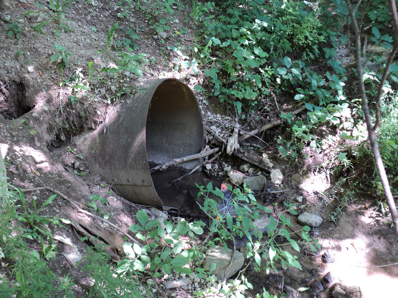
Inlet
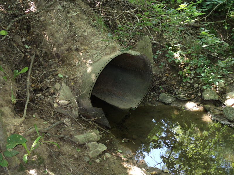
Outlet
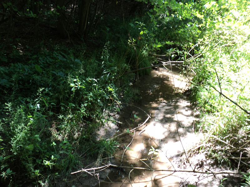
Upstream Conditions
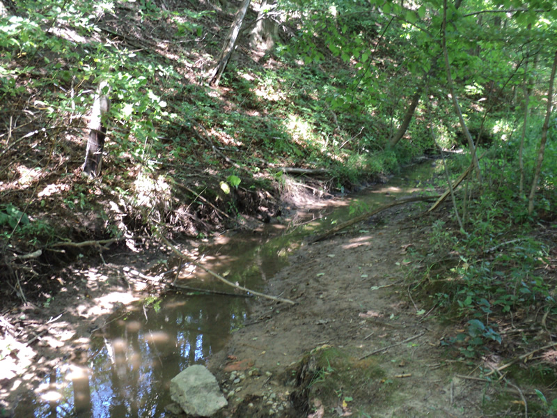
Downstream Conditions

Road Approach - Left
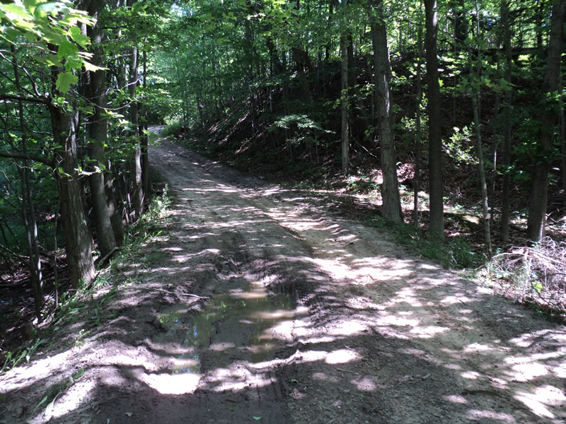
Road Approach - Right
Crossing Information
Type of Crossing: culvert(s)
Number of Structures: 1
Structure Shape: Round
Inlet Type: Projecting
Outlet Type: At Stream Grade
Structure Material: Metal
Structure Substrate: None
General Conditions: Poor
Structure Interior: smooth
Dimensions of Structure: Length 26 ft.
, Width 4 ft.
, Height 4 ft.
Structure Inlet
Water Depth: 0.2 ft.
Water Velocity*: 0.4 ft./sec.
Structure Outlet
Water Depth: 0.1 ft.
Water Velocity*: 0.2 ft./sec.
*Water Velocities were measured at the Surface
(with Meter)
Additional Comments
road is badly eroded
Stream Information
Stream Flow: Less than 1/2 Bankfull
Riffle Information
Water Depth: 0.1 ft.
Bankfull Width: 8 ft.
Wetted Width: 3 ft.
Water Velocity: 0.3 ft./sec.
(Measured with Meter)
Dominant Substrate: Clay
Road Information
Native Surface
County Road
(Seasonal)
Road Condition: Poor
Road Width at Culvert: 11 ft.
Location of Low Point: At Stream
Runoff Path: Roadway
Embankments
Upstream
Fill Depth: 4.5 ft.
Slope: 1:1.5
Downstream
Fill Depth: 4.5 ft.
Slope: 1:1.5
Approaches
Left Approach
Length: 290 ft.
Slope: 6% to 10%
Vegetation: Partial
LS Factor: 1.74
Erosion: 1.5291 tons/year
Right Approach
Length: 210 ft.
Slope: 6% to 10%
Vegetation: Partial
LS Factor: 1.484
Erosion: 0.9444 tons/year
Erosion Information
Total Erosion at Crossing: 2.8733 tons/year
Extent of Erosion: Moderate
Location of Erosion | Erosion Dimensions | Eroded Material | Material Eroded | Total Erosion | ||
facing downstream | Length | Width | Depth | Reaching Stream? | (tons/year) | |
Left Upstream Embankment |
3 ft. |
2 ft. |
0.6 ft. |
yes |
Loam |
0.0111 |
Right Downstream Embankment |
3 ft. |
2 ft. |
0.2 ft. |
yes |
Loam |
0.0037 |
Right Approach |
210 ft. |
2 ft. |
0.1 ft. |
yes |
Sand |
0.1617 |
Left Approach |
290 ft. |
2 ft. |
0.1 ft. |
no |
Sand |
0.2233 |
Summary Information
Fish Passability 0.5
�