Road Stream Crossing Site PM_M095
Pere Marquette River Watershed, Black Creek subwatershed
Stephens Rd - closed
Custer Twp,
Mason County
Information collected by:
Site Location
GPS Coordinates: 43.95602
, -86.19891
T18N
R16W
Sec 15
Owned by Private
Fish Passability 0.5
Total Erosion: 3.0555 tons/year
Severity: Severe
Year Inventoried: 2014
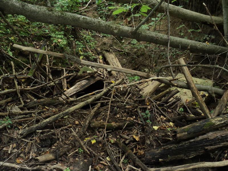
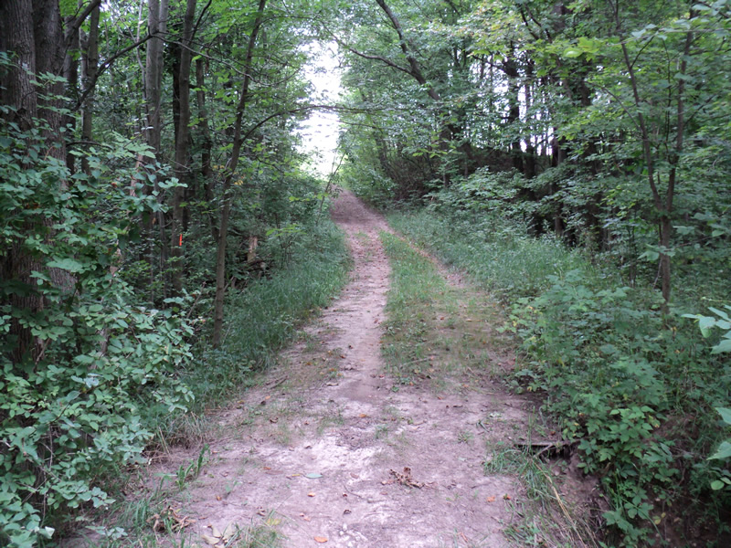
Inlet
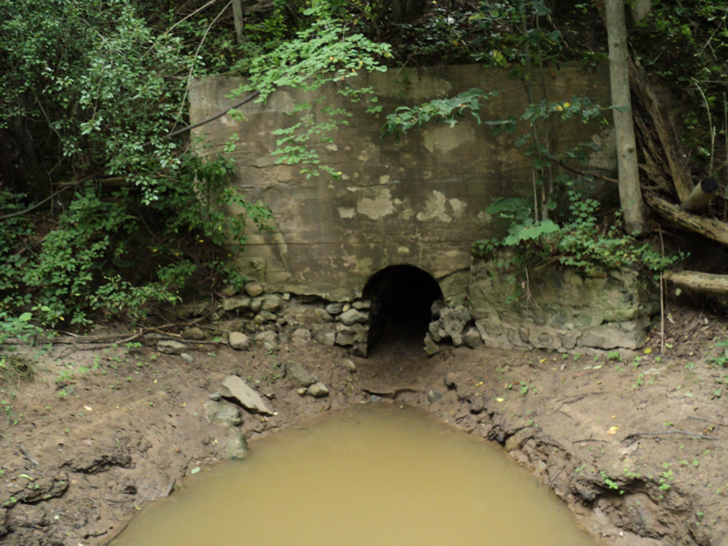
Outlet
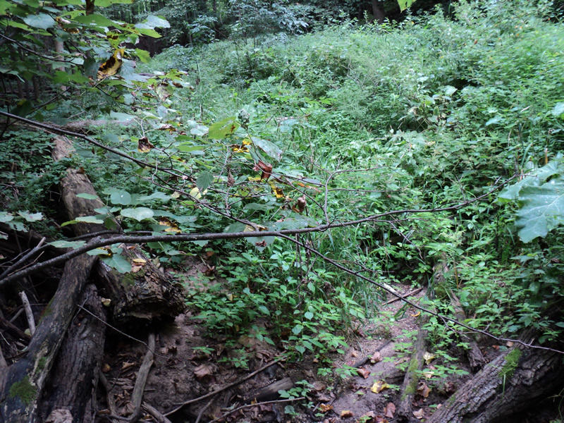
Upstream Conditions
Downstream Conditions
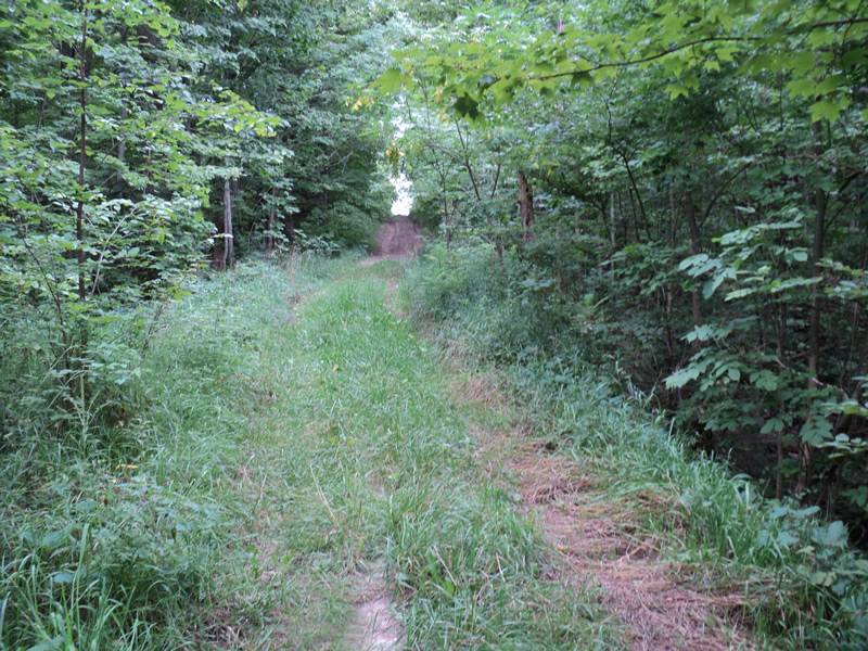
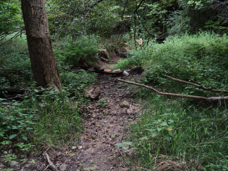
Road Approach - Left
Road Approach - Right
Erosion
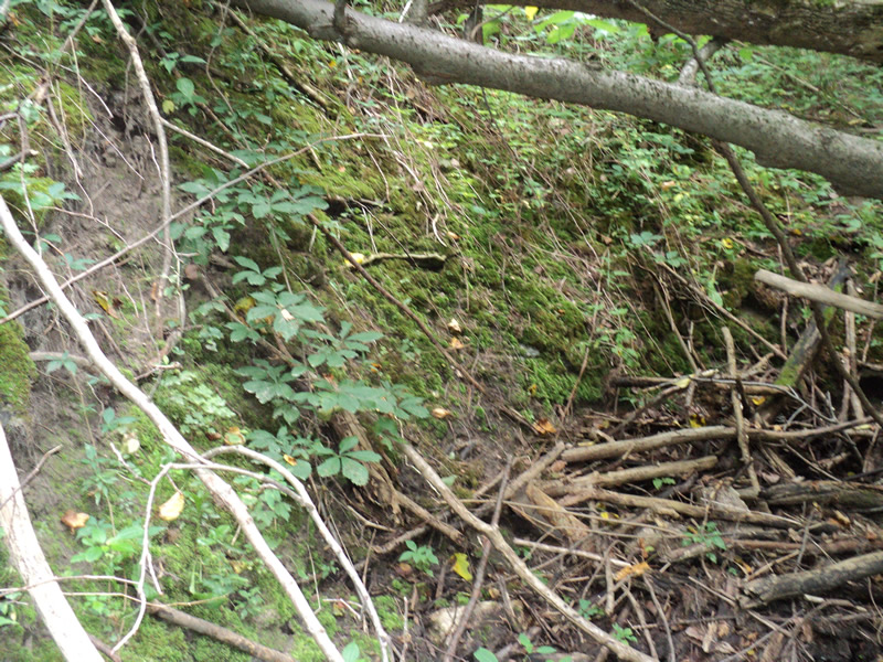
Erosion
Other
Crossing Information
Type of Crossing: culvert(s)
Number of Structures: 1
Structure Shape: Square/Rectangle
Inlet Type: Headwall
Outlet Type: At Stream Grade
Structure Material: Concrete
Structure Substrate: None
General Conditions: Poor
Structure Interior: smooth
Structure is Rusted through
Dimensions of Structure: Length 30 ft.
, Width 3 ft.
, Height 3.5 ft.
Percentage Plugged:
Inlet: 76% to 100%
Water Depth: 0 ft.
Water Velocity*: 0 ft./sec.
Water Depth: 0 ft.
Water Velocity*: 0 ft./sec.
*Water Velocities were measured at the Surface
(with Meter)
Additional Comments
road closed-culvert in terrible shape, blocked
inlet is metal culvert, outlet is concrete
road is eroding badly
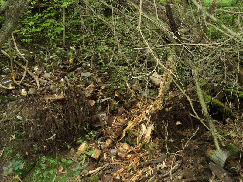
large pile of old glass and metal next to outlet
Stream Information
Stream Flow: None
Scour Pool: Length 15 ft.
, Width 10 ft.
, Depth 1 ft.
Riffle Information
Water Depth: 0 ft.
Water Velocity: 0 ft./sec.
Road Information
Native Surface
County Road
(Seasonal)
Road Condition: Poor
Road Width at Culvert: 9 ft.
Location of Low Point: At Stream
Runoff Path: Roadway
Embankments
Upstream
Fill Depth: 15 ft.
Slope: 1:1.5
Downstream
Fill Depth: 15 ft.
Slope: 1:1
Approaches
Left Approach
Length: 300 ft.
Slope: 6% to 10%
Vegetation: Heavy
LS Factor: 1.4
Erosion: 1.0413 tons/year
Right Approach
Length: 300 ft.
Slope: 1% to 5%
Vegetation: Heavy
LS Factor: 0.46
Erosion: 0.3421 tons/year
Erosion Information
Total Erosion at Crossing: 3.0555 tons/year
Extent of Erosion: Severe
Notes: embankment erosion is severely washing away the road
Location of Erosion | Erosion Dimensions | Eroded Material | Material Eroded | Total Erosion | ||
facing downstream | Length | Width | Depth | Reaching Stream? | (tons/year) | |
Right Upstream Embankment |
20 ft. |
20 ft. |
1 ft. |
yes |
Loam |
0.352 |
Left Approach |
300 ft. |
2 ft. |
0.1 ft. |
yes |
Sand |
0.66 |
Right Approach |
300 ft. |
2 ft. |
0.1 ft. |
yes |
Sand |
0.66 |
Summary Information
Fish Passability 0.5
Erosion is an area of concern for this site.
�