Road Stream Crossing Site PM_M096
Pere Marquette River Watershed, Swan Creek subwatershed
Meisenheimer Rd
Riverton Twp,
Mason County
Information collected by:
Site Location
GPS Coordinates: 43.8619
, -86.32587
T17N
R17W
Sec 15
Owned by Private
Fish Passability 0.5
Total Erosion: 1.7145 tons/year
Severity: Moderate
Year Inventoried: 2014
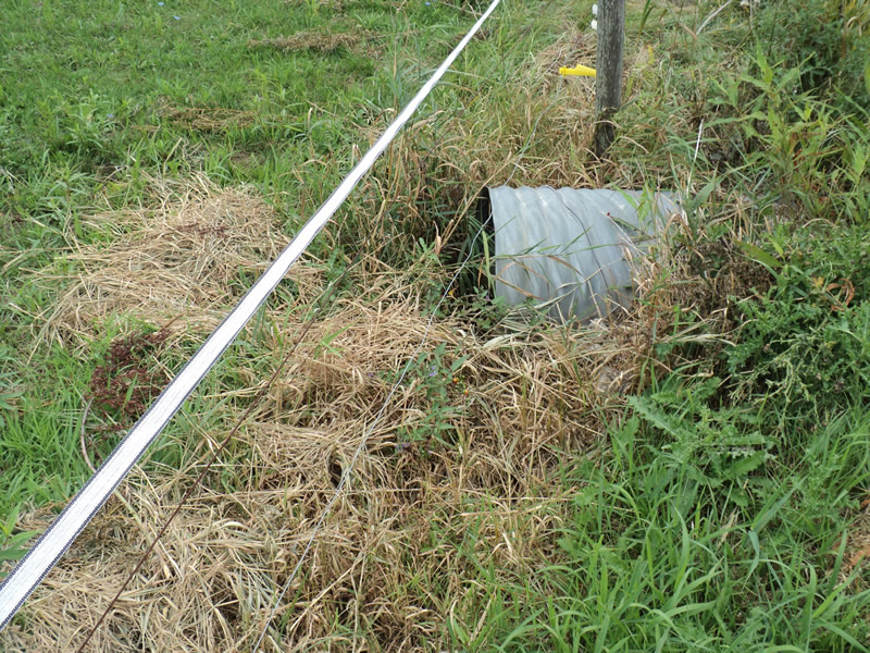
Inlet
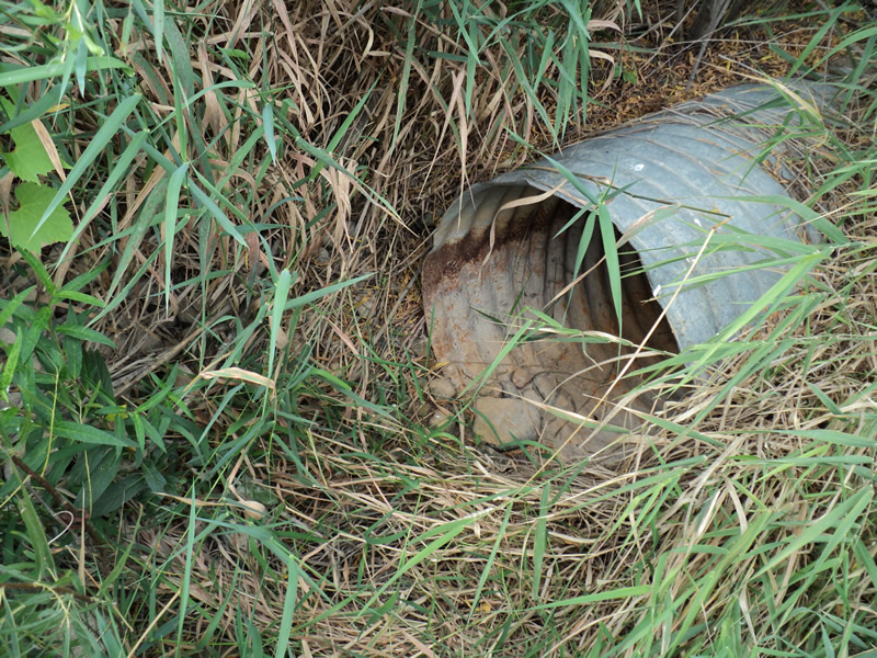
Outlet
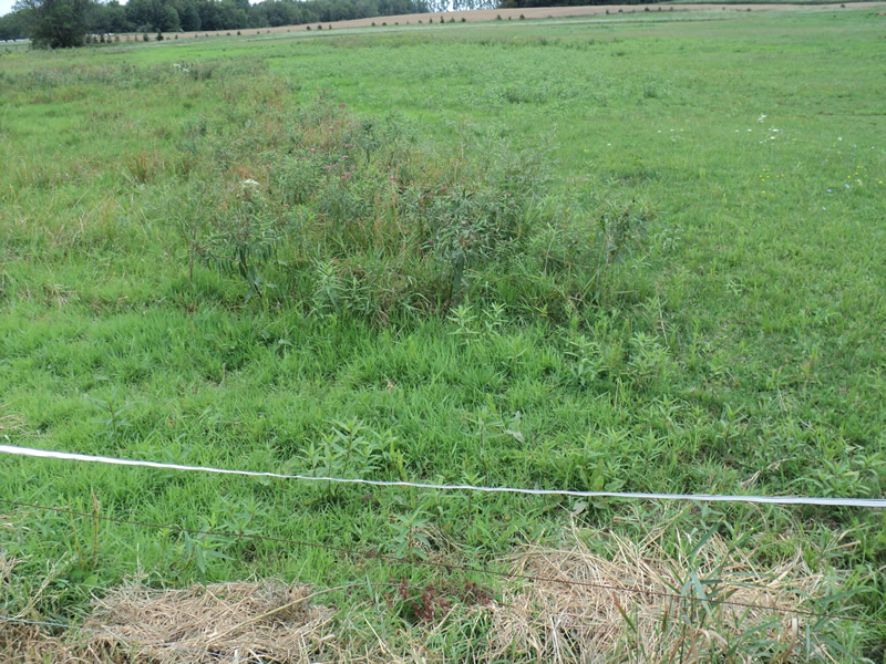
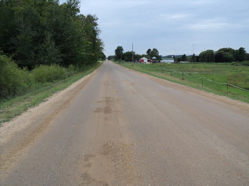
Upstream Conditions
Downstream Conditions
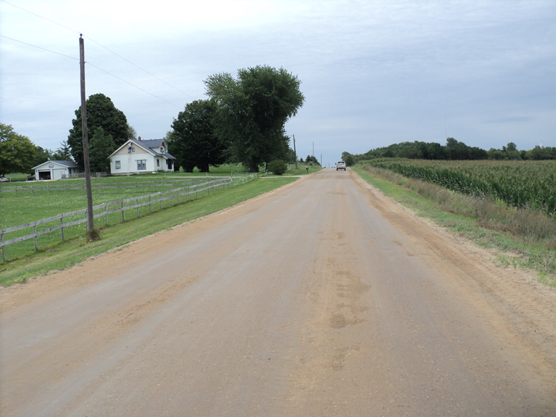
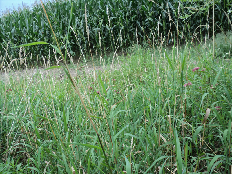
Road Approach - Left
Road Approach - Right
Crossing Information
Type of Crossing: culvert(s)
Structure Shape: Round
Inlet Type: Projecting
Outlet Type: At Stream Grade
Structure Material: Metal
Structure Substrate: None
General Conditions: Good
Structure Interior: corrugated
Dimensions of Structure: Length 75 ft.
, Width 2 ft.
, Height 2 ft.
Water Depth: 0 ft.
Water Velocity*: 0 ft./sec.
Water Depth: 0 ft.
Water Velocity*: 0 ft./sec.
*Water Velocities were measured at the Surface
(with Meter)
Additional Comments
road recently resurfaced
Stream Information
Stream Flow: None
Riffle Information
Water Depth: 0 ft.
Water Velocity: 0 ft./sec.
Road Information
Gravel
County Road
Road Condition: Good
Road Width at Culvert: 27 ft.
Location of Low Point: Other
Runoff Path: Ditch
Embankments
Upstream
Fill Depth: 4 ft.
Slope: More than 1:2
Downstream
Fill Depth: 4 ft.
Slope: More than 1:2
Approaches
Left Approach
Length: 450 ft.
Slope: 1% to 5%
Vegetation: Heavy
LS Factor: 0.49
Erosion: 1.6401 tons/year
Right Approach
Length: 200 ft.
Slope: Less Than 1%
Vegetation: Heavy
LS Factor: 0.05
Erosion: 0.0744 tons/year
Erosion Information
Total Erosion at Crossing: 1.7145 tons/year
Summary Information
Fish Passability 0.5
�