Road Stream Crossing Site PM_M102
Pere Marquette River Watershed, Swan Creek subwatershed
Hawley Rd
Riverton Twp,
Mason County
Information collected by:
Site Location
GPS Coordinates: 43.87605
, -86.30657
T17N
R17W
Sec 11
Owned by Private
Fish Passability 0.5
Total Erosion: 0.2366 tons/year
Severity: Moderate
Year Inventoried: 2014
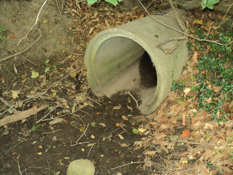
Inlet
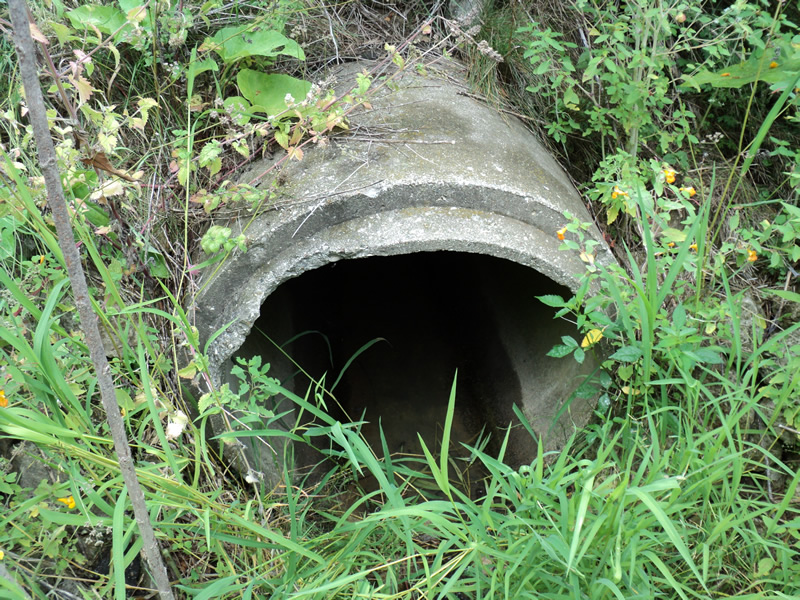
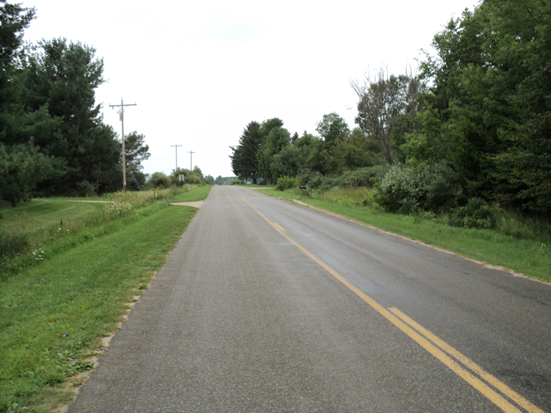
Outlet
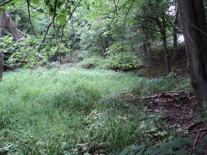
Upstream Conditions
Downstream Conditions
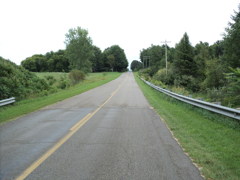
Road Approach - Left
Road Approach - Right
Crossing Information
Type of Crossing: culvert(s)
Number of Structures: 1
Structure Shape: Round
Inlet Type: Projecting
Outlet Type: At Stream Grade
Structure Material: Concrete
Structure Substrate: None
General Conditions: Good
Structure Interior: smooth
Dimensions of Structure: Length 65 ft.
, Width 2.5 ft.
, Height 2.5 ft.
Water Depth: 0 ft.
Water Velocity*: 0 ft./sec.
Water Depth: 0 ft.
Water Velocity*: 0 ft./sec.
*Water Velocities were measured at the Surface
(with Meter)
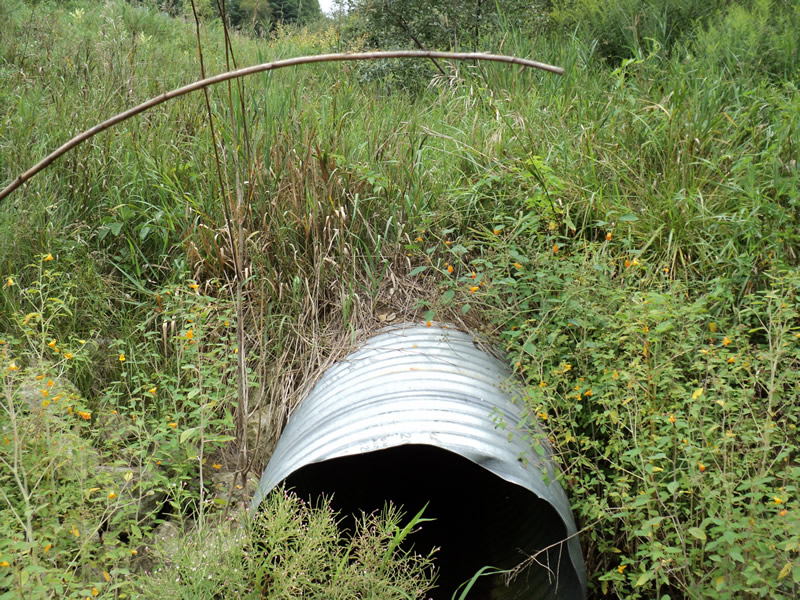
Additional Comments
2nd culvert put in ditch just past outlet to stop erosion-3ft dia. 50ft long good condition
Stream Information
Stream Flow: None
Riffle Information
Water Depth: 0 ft.
Water Velocity: 0 ft./sec.
Road Information
Paved
County Road
Road Condition: Good
Road Width at Culvert: 23 ft.
Location of Low Point: At Stream
Runoff Path: Ditch
Embankments
Upstream
Fill Depth: 7 ft.
Slope: 1:1.5
Downstream
Fill Depth: 10 ft.
Slope: 1:1.5
Approaches
Left Approach
Length: 450 ft.
Slope: 1% to 5%
Vegetation: Heavy
LS Factor: 0.49
Erosion: 0.1677 tons/year
Right Approach
Length: 210 ft.
Slope: 1% to 5%
Vegetation: Heavy
LS Factor: 0.432
Erosion: 0.069 tons/year
Erosion Information
Total Erosion at Crossing: 0.2366 tons/year
Extent of Erosion: Stabilized
Summary Information
Fish Passability 0.5
�