Road Stream Crossing Site PM_M104
Pere Marquette River Watershed, Swan Creek tributary
Hawley Rd
Riverton Twp,
Mason County
Information collected by:
Site Location
GPS Coordinates: 43.876117
, -86.295428
T17N
R17W
Sec 12
Owned by Private
Fish Passability 0
Perch Height: 0.6 ft.
Total Erosion: 0.6664 tons/year
Severity: Severe
Year Inventoried: 2014
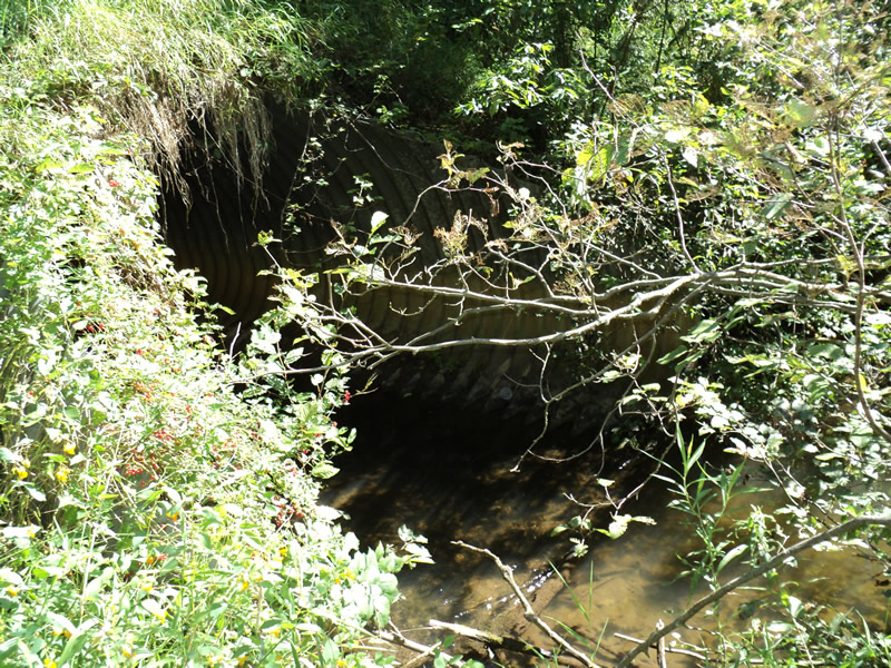
Inlet
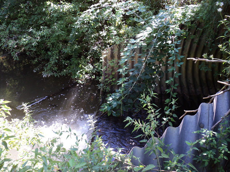
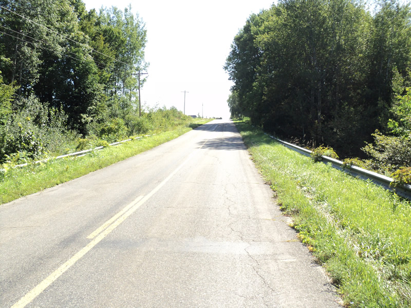
Outlet
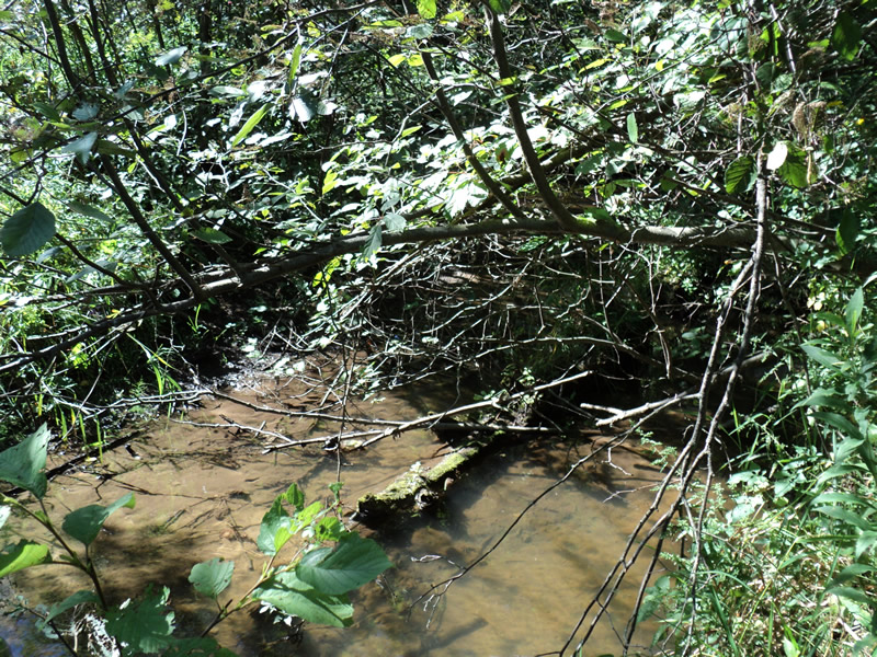
Upstream Conditions
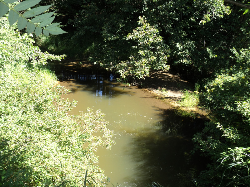
Downstream Conditions
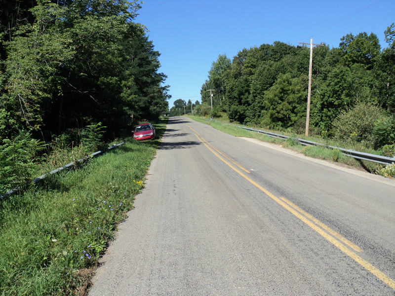
Road Approach - Left
Road Approach - Right
Crossing Information
Type of Crossing: culvert(s)
Number of Structures: 1
Structure Shape: Pipe Arch
Inlet Type: Mitered
Outlet Type: Freefall into Pool
Structure Material: Metal
Structure Substrate: None
General Conditions: Fair
Structure Interior: corrugated
Dimensions of Structure: Length 95 ft.
, Width 11 ft.
, Height 7 ft.
Perch Height: 0.6 ft.
Structure Inlet
Water Depth: 0.4 ft.
Water Velocity*: 1.3 ft./sec.
Structure Outlet
Water Depth: 0.4 ft.
Water Velocity*: 1.5 ft./sec.
*Water Velocities were measured 0.4 ft. below Surface
(with Meter)
Stream Information
Stream Flow: Less than 1/2 Bankfull
Riffle Information
Water Depth: 0.3 ft.
Bankfull Width: 12 ft.
Wetted Width: 10 ft.
Water Velocity: 0.6 ft./sec.
(Measured with Meter)
Dominant Substrate: Organics
Road Information
Paved
County Road
Road Condition: Good
Road Width at Culvert: 23 ft.
Location of Low Point: At Stream
Runoff Path: Ditch
Embankments
Upstream
Fill Depth: 13 ft.
Slope: 1:1.5
Downstream
Fill Depth: 14 ft.
Slope: 1:1.5
Approaches
Left Approach
Length: 320 ft.
Slope: 1% to 5%
Vegetation: Heavy
LS Factor: 0.464
Erosion: 0.1129 tons/year
Right Approach
Length: 300 ft.
Slope: 6% to 10%
Vegetation: Heavy
LS Factor: 1.4
Erosion: 0.3193 tons/year
Erosion Information
Total Erosion at Crossing: 0.6664 tons/year
Extent of Erosion: Moderate
Location of Erosion | Erosion Dimensions | Eroded Material | Material Eroded | Total Erosion | ||
facing downstream | Length | Width | Depth | Reaching Stream? | (tons/year) | |
Left Downstream Embankment |
6 ft. |
1 ft. |
1 ft. |
yes |
Loam |
0.037 |
Left Upstream Embankment |
8 ft. |
2 ft. |
2 ft. |
yes |
Loam |
0.0986 |
Right Downstream Embankment |
8 ft. |
2 ft. |
2 ft. |
yes |
Loam |
0.0986 |
Summary Information
Fish Passability 0
�