Road Stream Crossing Site PM_M105
Pere Marquette River Watershed, Swan Creek tributary
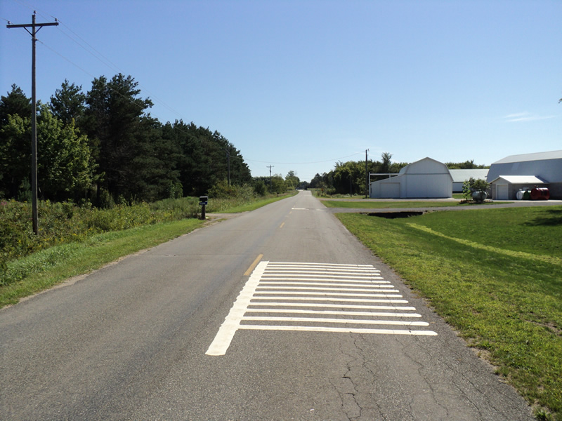
Hawley Rd
Riverton Twp,
Mason County
Information collected by:
Site Location
GPS Coordinates: 43.87573
, -86.28294
T17N
R17W
Sec 12
Owned by Private
Fish Passability 0.5
Total Erosion: 0.0942 tons/year
Severity: Moderate
Year Inventoried: 2014

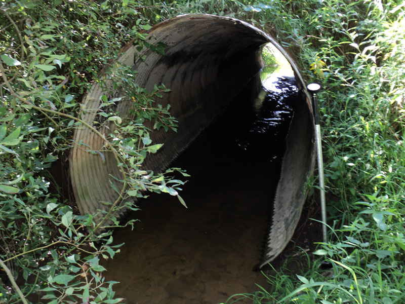
Inlet
Outlet
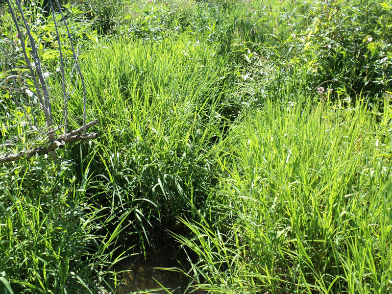
Upstream Conditions
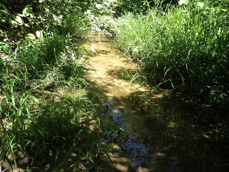
Downstream Conditions
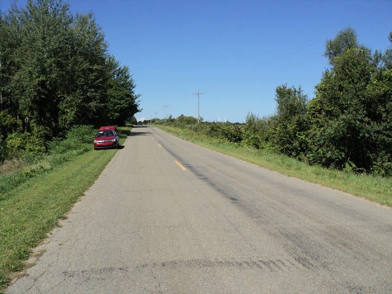
Road Approach - Left
Road Approach - Right
Crossing Information
Type of Crossing: culvert(s)
Number of Structures: 1
Structure Shape: Round
Inlet Type: Projecting
Outlet Type: At Stream Grade
Structure Material: Metal
Structure Substrate: Sand
General Conditions: Good
Dimensions of Structure: Length 65 ft.
, Width 5.5 ft.
, Height 5.5 ft.
Percentage Crushed:
Inlet: 1% to 25%
In Pipe: 1% to 25%
Structure Inlet
Water Depth: 0.2 ft.
Water Velocity*: 0.2 ft./sec.
Structure Outlet
Water Depth: 0.1 ft.
Water Velocity*: 0.5 ft./sec.
*Water Velocities were measured at the Surface
(with Meter)
Stream Information
Stream Flow: Less than 1/2 Bankfull
Riffle Information
Water Depth: 0.2 ft.
Bankfull Width: 8 ft.
Wetted Width: 2 ft.
Water Velocity: 0.6 ft./sec.
(Measured with Meter)
Dominant Substrate: Sand
Road Information
Paved
County Road
Road Condition: Good
Road Width at Culvert: 23 ft.
Location of Low Point: Other
Runoff Path: Ditch
Embankments
Upstream
Fill Depth: 6 ft.
Slope: 1:1.5
Downstream
Fill Depth: 6 ft.
Slope: 1:1.5
Approaches
Left Approach
Length: 240 ft.
Slope: 1% to 5%
Vegetation: Heavy
LS Factor: 0.438
Erosion: 0.0799 tons/year
Right Approach
Length: 200 ft.
Slope: Less Than 1%
Vegetation: Heavy
LS Factor: 0.05
Erosion: 0.0076 tons/year
Erosion Information
Total Erosion at Crossing: 0.0942 tons/year
Extent of Erosion: Minor
Notes: upstream embankment erosion caused by woodchuck
Location of Erosion | Erosion Dimensions | Eroded Material | Material Eroded | Total Erosion | ||
facing downstream | Length | Width | Depth | Reaching Stream? | (tons/year) | |
Left Downstream Embankment |
5 ft. |
1.5 ft. |
1 ft. |
yes |
Loam |
0.0044 |
Right Upstream Embankment |
3 ft. |
2 ft. |
0.2 ft. |
yes |
Loam |
0.0005 |
Left Upstream Embankment |
3 ft. |
2 ft. |
0.7 ft. |
yes |
Loam |
0.0018 |
Summary Information
Fish Passability 0.5
�