Road Stream Crossing Site PM_M108
Pere Marquette River Watershed, Swan Creek tributary
Appleton Rd
Riverton Twp,
Mason County
Information collected by:
Site Location
GPS Coordinates: 43.88196
, -86.29274
T17N
R17W
Sec 12
Owned by Private
Fish Passability 0
Total Erosion: 3.1075 tons/year
Severity: Severe
Year Inventoried: 2014
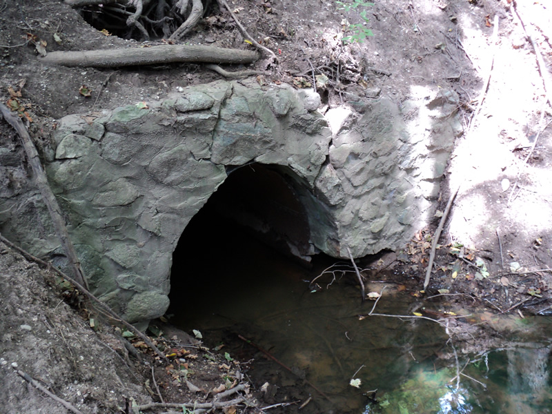
Inlet
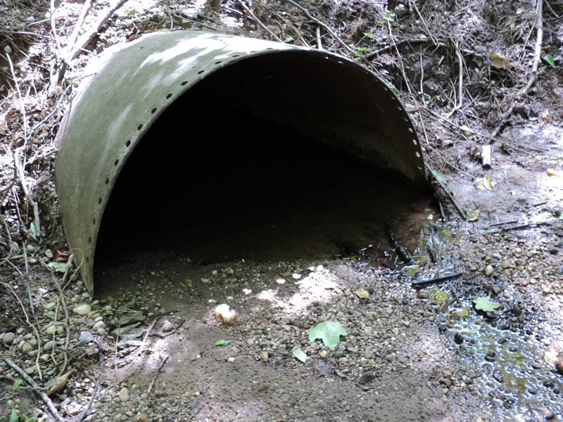
Outlet
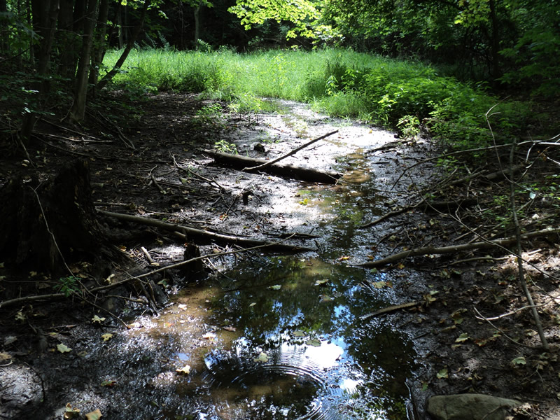
Upstream Conditions
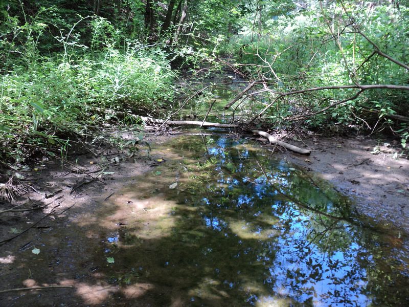
Downstream Conditions
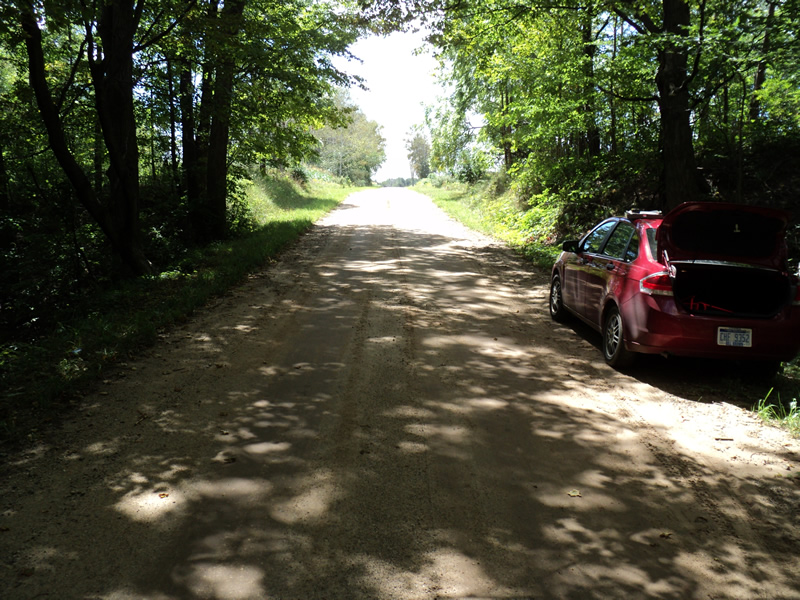
Road Approach - Left
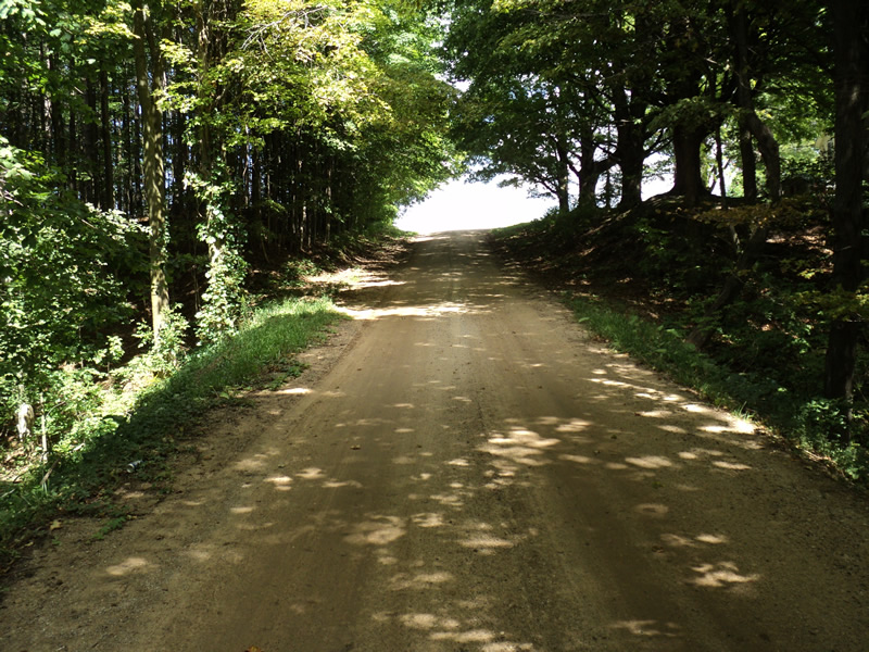
Road Approach - Right

Erosion
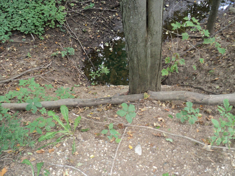
Erosion
Crossing Information
Type of Crossing: culvert(s)
Number of Structures: 1
Structure Shape: Round
Inlet Type: Headwall
Outlet Type: At Stream Grade
Structure Material: Metal
Structure Substrate: Sand
General Conditions: Poor
Structure Interior: smooth
Structure is Rusted through
Dimensions of Structure: Length 45 ft.
, Width 3 ft.
, Height 3 ft.
Percentage Plugged:
Outlet: 26% to 50%
Percentage Crushed:
In Pipe: 1% to 25%
Structure Inlet
Water Depth: 0.5 ft.
Water Velocity*: 0 ft./sec.
Water Depth: 0 ft.
Embedded Depth of Structure: 1.5 ft.
Water Velocity*: 0 ft./sec.
*Water Velocities were measured at the Surface
(with Meter)
Stream Information
Stream Flow: None
Riffle Information
Water Depth: 0.1 ft.
Bankfull Width: 6 ft.
Wetted Width: 2 ft.
Water Velocity: 0.1 ft./sec.
(Measured with Meter)
Dominant Substrate: Sand
Road Information
Sand
County Road
Road Condition: Fair
Road Width at Culvert: 15 ft.
Location of Low Point: At Stream
Runoff Path: Roadway
Embankments
Upstream
Fill Depth: 11 ft.
Slope: Vertical
Downstream
Fill Depth: 10 ft.
Slope: 1:1
Approaches
Left Approach
Length: 150 ft.
Slope: 1% to 5%
Vegetation: Partial
LS Factor: 0.44
Erosion: 0.2727 tons/year
Right Approach
Length: 160 ft.
Slope: More Than 10%
Vegetation: Partial
LS Factor: 3.139
Erosion: 2.0754 tons/year
Erosion Information
Total Erosion at Crossing: 3.1075 tons/year
Extent of Erosion: Severe
Notes: steep no-veg embankments
photos included
Location of Erosion | Erosion Dimensions | Eroded Material | Material Eroded | Total Erosion | ||
facing downstream | Length | Width | Depth | Reaching Stream? | (tons/year) | |
Left Approach |
150 ft. |
1.5 ft. |
0.1 ft. |
yes |
Sand |
0.33 |
Right Approach |
160 ft. |
1.5 ft. |
0.1 ft. |
yes |
Sand |
0.352 |
Right Upstream Embankment |
12 ft. |
30 ft. |
0.2 ft. |
yes |
Loam |
0.0422 |
Right Downstream Embankment |
10 ft. |
30 ft. |
0.2 ft. |
yes |
Loam |
0.0352 |
Summary Information
Fish Passability 0
Erosion is an area of concern for this site.
�