Road Stream Crossing Site PM_M111
Pere Marquette River Watershed, Swan Creek
Kinney Rd
Riverton Twp,
Mason County
Information collected by:
Site Location
GPS Coordinates: 43.8901991174793
, -86.2987681478262
T17N
R17W
Sec 12
Owned by Private
Total Erosion: 4.9741 tons/year
Severity: Severe
Year Inventoried: 2014
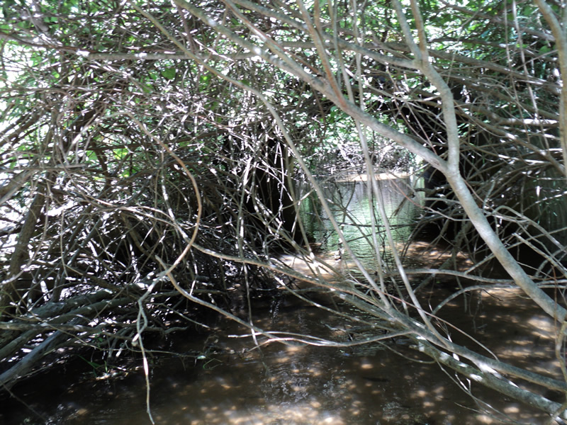
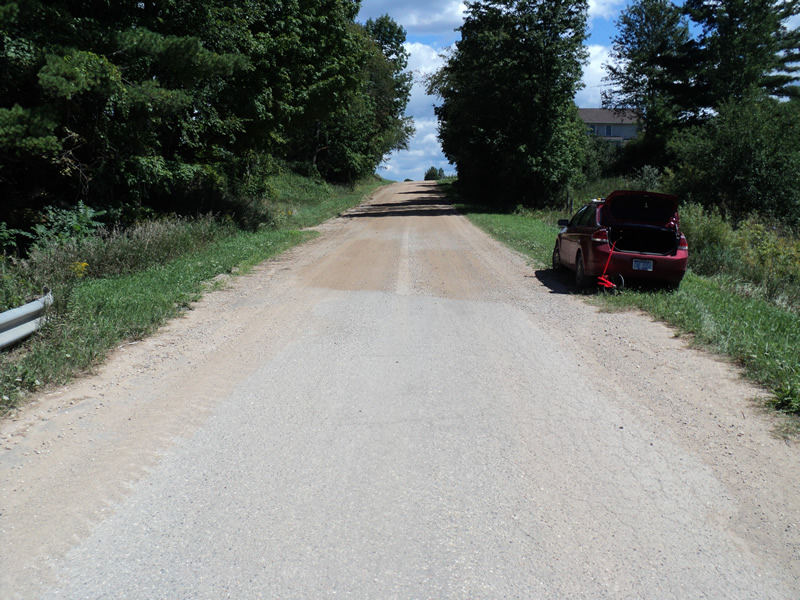
Inlet
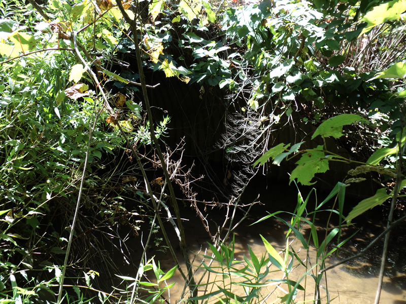
Outlet
Upstream Conditions
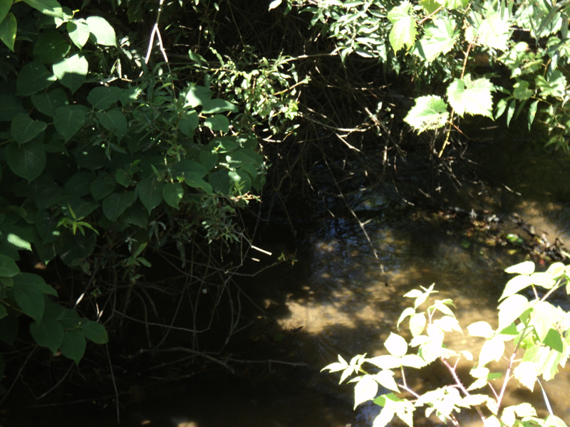
Downstream Conditions
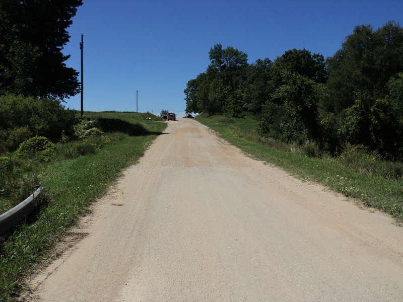
Road Approach - Left
Road Approach - Right
Crossing Information
Type of Crossing: culvert(s)
Number of Structures: 1
Structure Shape: Pipe Arch
Inlet Type: Mitered
Outlet Type: At Stream Grade
Structure Material: Metal
Structure Substrate: Sand
General Conditions: Good
Structure Interior: corrugated
Dimensions of Structure: Length 50 ft.
, Width 12 ft.
, Height 7 ft.
Structure Inlet
Water Depth: 0.6 ft.
Water Velocity*: 1 ft./sec.
Structure Outlet
Water Depth: 0.5 ft.
Water Velocity*: 1.1 ft./sec.
*Water Velocities were measured 0.5 ft. below Surface
(with Meter)
Additional Comments
Paved on top of culvert.
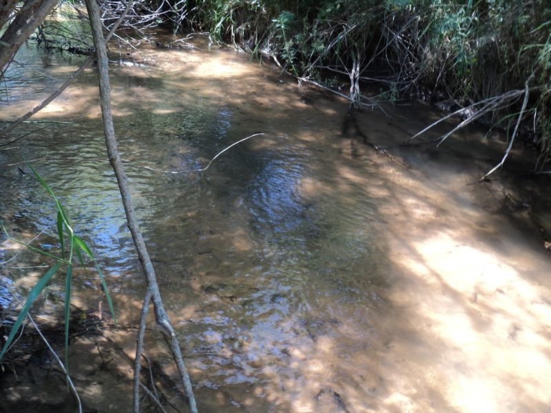
Stream Information
Stream Flow: Less than 1/2 Bankfull
Riffle Information
Water Depth: 0.4 ft.
Bankfull Width: 13 ft.
Wetted Width: 12 ft.
Water Velocity: 1.1 ft./sec.
(Measured with Meter)
Dominant Substrate: Sand
Road Information
Gravel
County Road
Road Condition: Good
Road Width at Culvert: 23 ft.
Location of Low Point: At Stream
Runoff Path: Roadway
Embankments
Upstream
Fill Depth: 2.5 ft.
Slope: 1:1
Downstream
Fill Depth: 3 ft.
Slope: 1:1
Approaches
Left Approach
Length: 300 ft.
Slope: 6% to 10%
Vegetation: Heavy
LS Factor: 1.4
Erosion: 2.6612 tons/year
Right Approach
Length: 270 ft.
Slope: 6% to 10%
Vegetation: Heavy
LS Factor: 1.352
Erosion: 2.3129 tons/year
Erosion Information
Total Erosion at Crossing: 4.9741 tons/year
Extent of Erosion: Minor
Summary Information
Erosion is an area of concern for this site.
�