Road Stream Crossing Site PM_M120
Pere Marquette River Watershed, Swan Creek subwatershed
Kistler Rd
Riverton Twp,
Mason County
Information collected by:
Site Location
GPS Coordinates: 43.8834
, -86.3344
T17N
R17W
Sec 10
Owned by Private
Fish Passability 0.5
Total Erosion: 0.1102 tons/year
Severity: Moderate
Year Inventoried: 2014
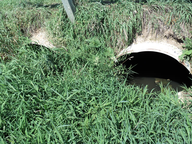
Inlet
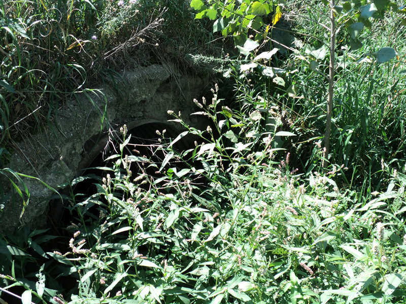
Outlet
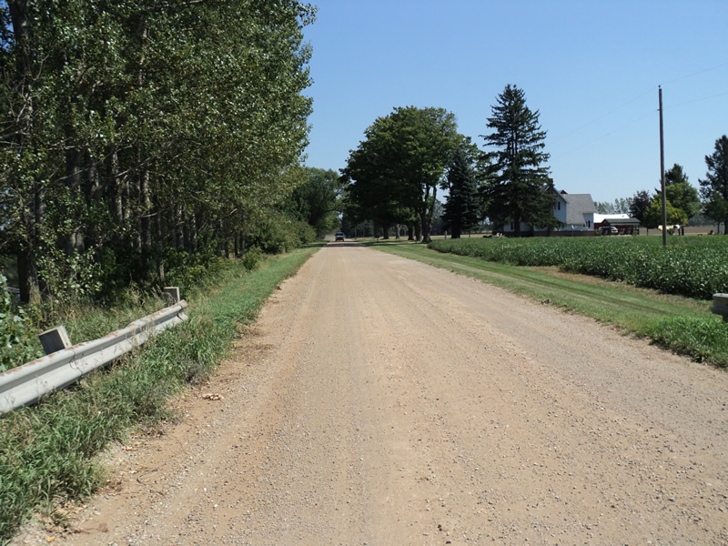
Upstream Conditions
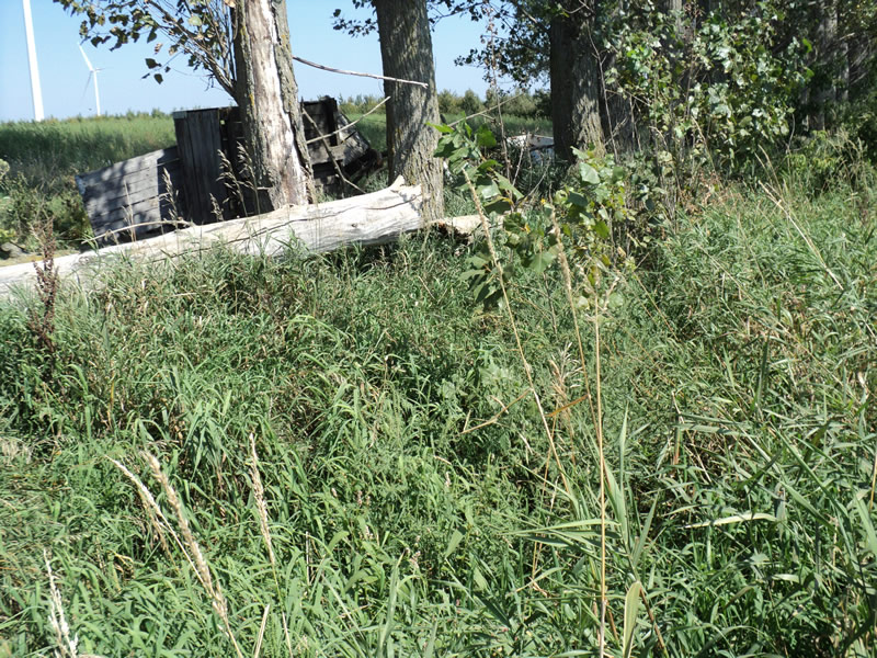
Downstream Conditions
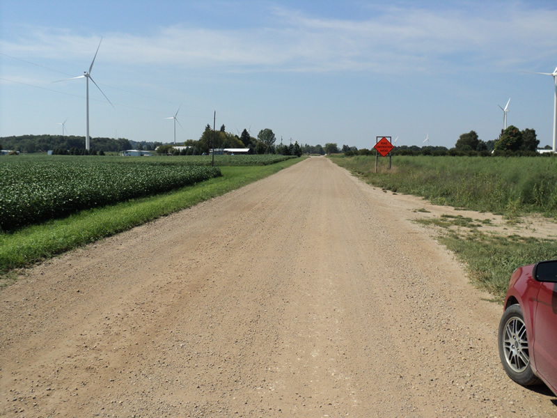
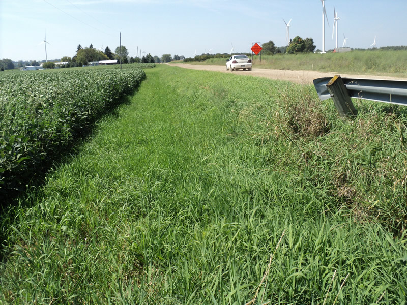
Road Approach - Left
Road Approach - Right
Crossing Information
Type of Crossing: culvert(s)
Number of Structures: 2
Structure Shape: Pipe Arch
Inlet Type: Projecting
Outlet Type: At Stream Grade
Structure Material: Metal
Structure Substrate: None
General Conditions: Fair
Structure Interior: corrugated
Dimensions of Structure: Length 30 ft.
, Width 4.5 ft.
, Height 3.5 ft.
Structure Inlet
Water Depth: 0.7 ft.
Water Velocity*: 0 ft./sec.
Structure Outlet
Water Depth: 0.6 ft.
Water Velocity*: 0 ft./sec.
*Water Velocities were measured at the Surface
(with Meter)
Stream Information
Stream Flow: None
Riffle Information
Water Depth: 0 ft.
Water Velocity: 0 ft./sec.
Road Information
Gravel
County Road
Road Condition: Good
Road Width at Culvert: 20 ft.
Location of Low Point: At Stream
Runoff Path: Roadway
Embankments
Upstream
Fill Depth: 2 ft.
Slope: Vertical
Downstream
Fill Depth: 2 ft.
Slope: Vertical
Approaches
Left Approach
Length: 200 ft.
Slope: Less Than 1%
Vegetation: Heavy
LS Factor: 0.05
Erosion: 0.0551 tons/year
Right Approach
Length: 200 ft.
Slope: Less Than 1%
Vegetation: Heavy
LS Factor: 0.05
Erosion: 0.0551 tons/year
Erosion Information
Total Erosion at Crossing: 0.1102 tons/year
Extent of Erosion: Minor
Notes: headwall falling apart
Summary Information
Fish Passability 0.5
�