Road Stream Crossing Site PM_M123
Pere Marquette River Watershed, Lichte Creek subwatershed
Kistler Rd
Riverton Twp,
Mason County
Information collected by:
Site Location
GPS Coordinates: 43.88354
, -86.35286
T17N
R17W
Sec 9
Owned by Private
Fish Passability 0.5
Total Erosion: 2.2545 tons/year
Severity: Moderate
Year Inventoried: 2014
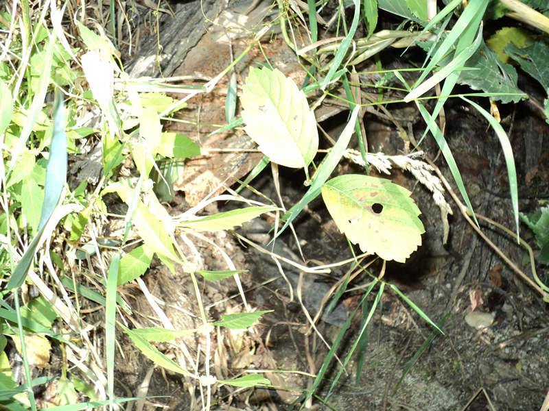
Inlet
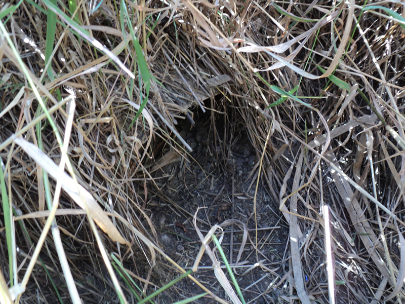
Outlet
Upstream Conditions
Downstream Conditions
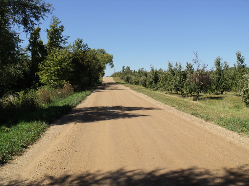
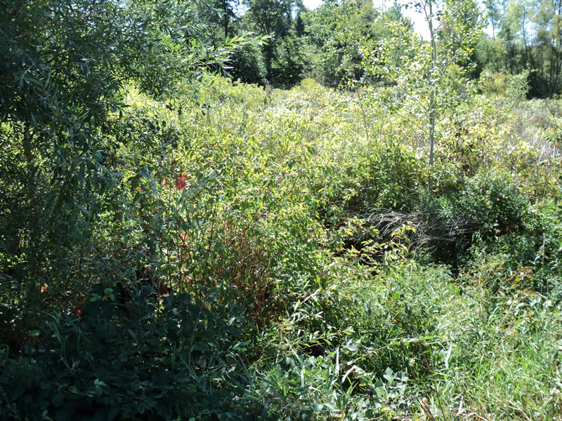
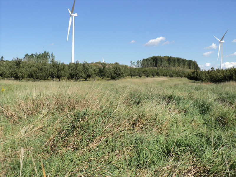
Road Approach - Left
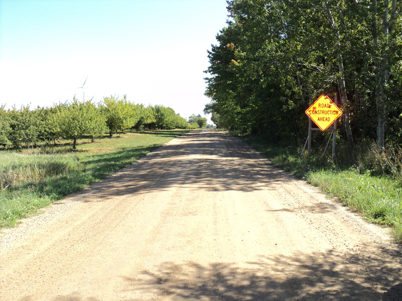
Road Approach - Right
Crossing Information
Type of Crossing: culvert(s)
Number of Structures: 1
Structure Shape: Round
Inlet Type: Projecting
Outlet Type: At Stream Grade
Structure Material: Metal
Structure Substrate: None
General Conditions: Poor
Structure Interior: corrugated
Structure is Rusted through
Dimensions of Structure: Length 36 ft.
, Width 1 ft.
, Height 1 ft.
Water Depth: 0 ft.
Water Velocity*: 0 ft./sec.
Water Depth: 0 ft.
Water Velocity*: 0 ft./sec.
Stream Information
Stream Flow: None
Riffle Information
Water Depth: 0 ft.
Water Velocity: 0 ft./sec.
Road Information
Gravel
County Road
Road Condition: Good
Road Width at Culvert: 22 ft.
Location of Low Point: At Stream
Runoff Path: Roadway
Embankments
Upstream
Fill Depth: 3.5 ft.
Slope: 1:1.5
Downstream
Fill Depth: 2 ft.
Slope: 1:1.5
Approaches
Left Approach
Length: 600 ft.
Slope: 1% to 5%
Vegetation: Heavy
LS Factor: 0.52
Erosion: 1.8909 tons/year
Right Approach
Length: 150 ft.
Slope: 1% to 5%
Vegetation: Heavy
LS Factor: 0.4
Erosion: 0.3636 tons/year
Erosion Information
Total Erosion at Crossing: 2.2545 tons/year
Summary Information
Fish Passability 0.5
�