Road Stream Crossing Site PM_M134
Pere Marquette River Watershed, Pere Marquette tributary
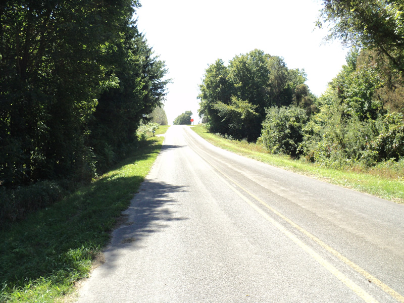
Brye Rd
Pere Marquette Twp,
Mason County
Information collected by:
Site Location
GPS Coordinates: 43.89966
, -86.37859
T17N
R17W
Sec 6
Owned by Private
Fish Passability 0.5
Total Erosion: 0.4863 tons/year
Severity: Moderate
Year Inventoried: 2014
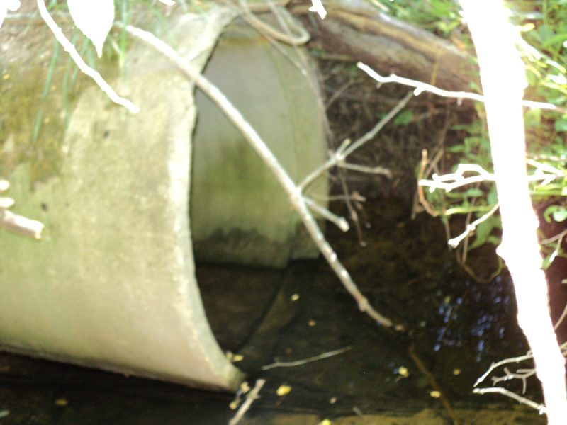
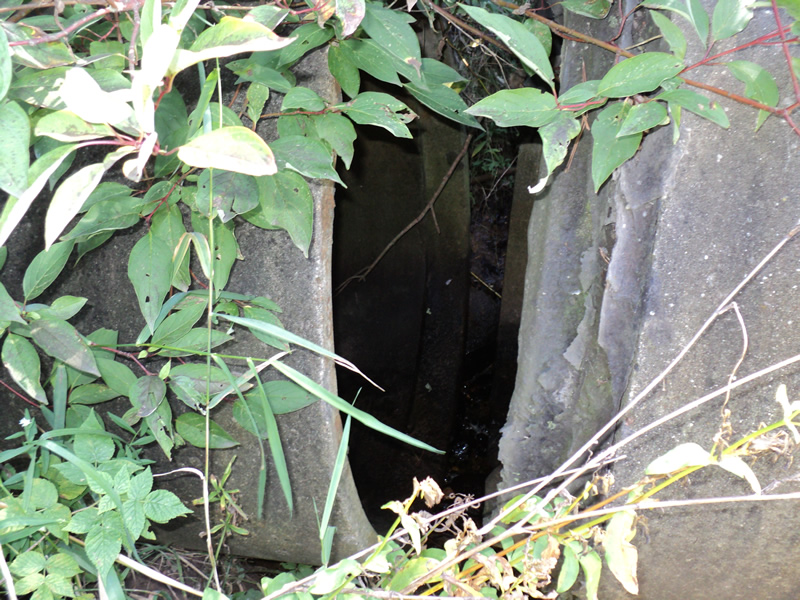
Inlet
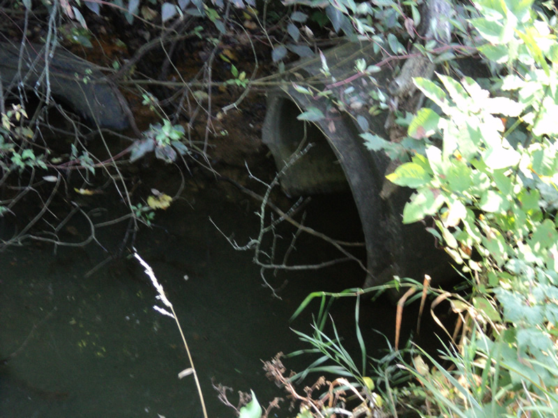
Outlet
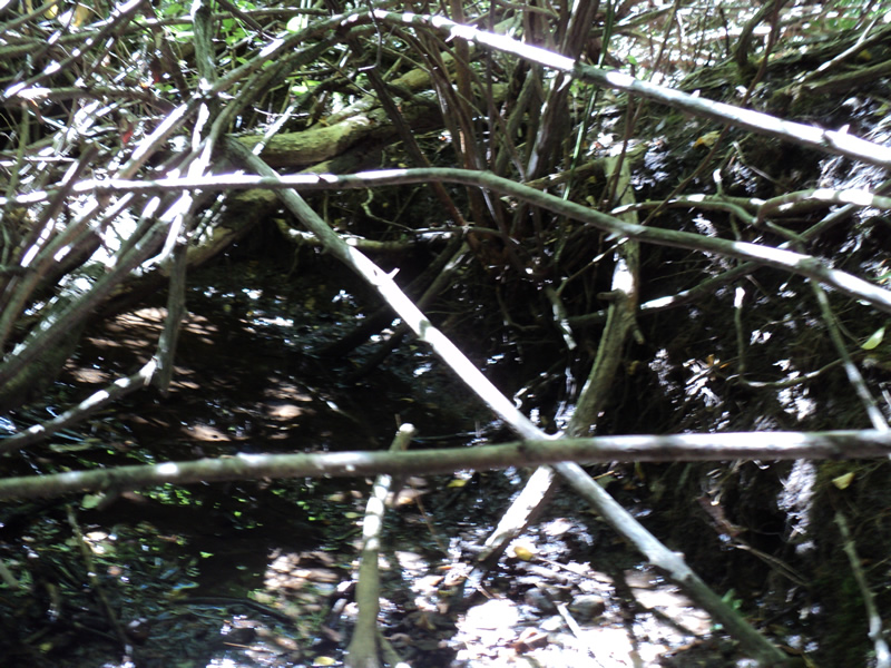
Upstream Conditions
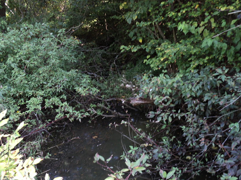
Downstream Conditions

Road Approach - Left
Road Approach - Right
Erosion
Crossing Information
Type of Crossing: culvert(s)
Number of Structures: 1
Structure Shape: Round
Inlet Type: Projecting
Outlet Type: At Stream Grade
Structure Material: Concrete
Structure Substrate: None
General Conditions: Poor
Structure Interior: smooth
Dimensions of Structure: Length 128 ft.
, Width 3 ft.
, Height 3 ft.
Structure Inlet
Water Depth: 0.3 ft.
Water Velocity*: 0 ft./sec.
Structure Outlet
Water Depth: 0.2 ft.
Water Velocity*: 0 ft./sec.
*Water Velocities were measured at the Surface
(with Meter)
Additional Comments
last 8ft section of outlet culvert is broken off
Stream Information
Stream Flow: None
Scour Pool: Length 15 ft.
, Width 8 ft.
, Depth 1.5 ft.
Riffle Information
Water Depth: 0 ft.
Water Velocity: 0 ft./sec.
Road Information
Paved
County Road
Road Condition: Good
Road Width at Culvert: 21 ft.
Location of Low Point: At Stream
Runoff Path: Roadway
Embankments
Upstream
Fill Depth: 11 ft.
Slope: 1:2
Downstream
Fill Depth: 12 ft.
Slope: 1:2
Approaches
Left Approach
Length: 220 ft.
Slope: 1% to 5%
Vegetation: Heavy
LS Factor: 0.434
Erosion: 0.0663 tons/year
Right Approach
Length: 370 ft.
Slope: 6% to 10%
Vegetation: Heavy
LS Factor: 1.491
Erosion: 0.383 tons/year
Erosion Information
Total Erosion at Crossing: 0.4863 tons/year
Extent of Erosion: Moderate
Location of Erosion | Erosion Dimensions | Eroded Material | Material Eroded | Total Erosion | ||
facing downstream | Length | Width | Depth | Reaching Stream? | (tons/year) | |
Left Upstream Streambank |
6 ft. |
8 ft. |
1 ft. |
yes |
Loam |
0.037 |
Summary Information
Fish Passability 0.5
A future visit to this site is recommended. broken culvert and erosion
�