Road Stream Crossing Site PM_M137
Pere Marquette River Watershed, Pere Marquette tributary
Chauvez Rd
Pere Marquette Twp,
Mason County
Information collected by:
Site Location
GPS Coordinates: 43.906
, -86.39099
T18N
R17W
Sec 31
Owned by Private
Fish Passability 0.5
Total Erosion: 0.1212 tons/year
Severity: Moderate
Year Inventoried: 2014
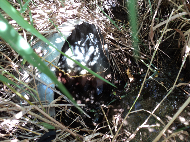
Inlet
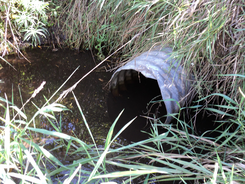
Outlet
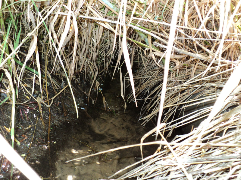
Upstream Conditions
Downstream Conditions
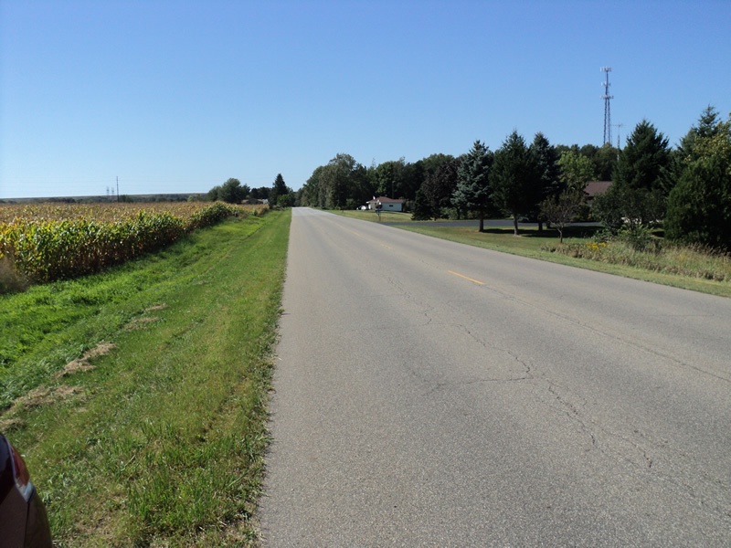
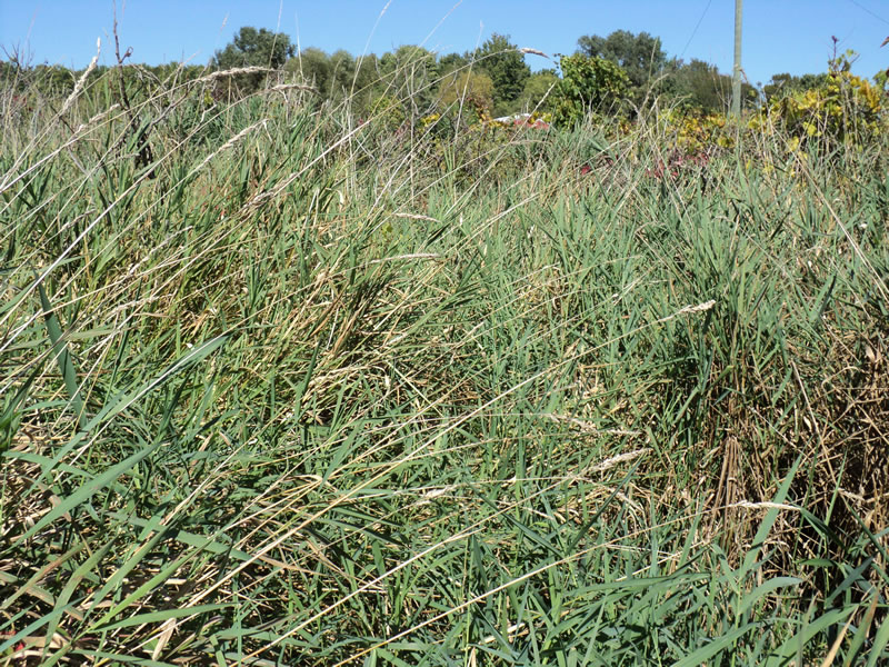
Road Approach - Left
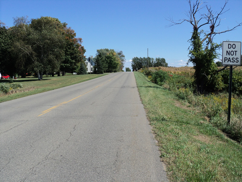
Road Approach - Right
Crossing Information
Type of Crossing: culvert(s)
Number of Structures: 1
Structure Shape: Round
Inlet Type: Projecting
Outlet Type: At Stream Grade
Structure Material: Metal
Structure Substrate: None
General Conditions: Good
Structure Interior: corrugated
Dimensions of Structure: Length 54 ft.
, Width 1 ft.
, Height 1 ft.
Structure Inlet
Water Depth: 0.1 ft.
Water Velocity*: 0.1 ft./sec.
Structure Outlet
Water Depth: 0.3 ft.
Water Velocity*: 0 ft./sec.
*Water Velocities were measured at the Surface
(with Meter)
Stream Information
Stream Flow: None
Scour Pool: Length 2 ft.
, Width 5 ft.
, Depth 0.5 ft.
Riffle Information
Water Depth: 0 ft.
Water Velocity: 0 ft./sec.
Road Information
Paved
County Road
Road Condition: Good
Road Width at Culvert: 28 ft.
Location of Low Point: At Stream
Runoff Path: Ditch
Embankments
Upstream
Fill Depth: 4.5 ft.
Slope: 1:2
Downstream
Fill Depth: 5.5 ft.
Slope: 1:2
Approaches
Left Approach
Length: 200 ft.
Slope: Less Than 1%
Vegetation: Heavy
LS Factor: 0.05
Erosion: 0.0093 tons/year
Right Approach
Length: 270 ft.
Slope: 1% to 5%
Vegetation: Heavy
LS Factor: 0.448
Erosion: 0.112 tons/year
Erosion Information
Total Erosion at Crossing: 0.1212 tons/year
Summary Information
Fish Passability 0.5
�