Road Stream Crossing Site PM_M139
Pere Marquette River Watershed, Pere Marquette tributary
Benedict Rd
Pere Marquette Twp,
Mason County
Information collected by:
Site Location
GPS Coordinates: 43.914572
, -86.391203
T18N
R17W
Sec 31
Owned by Private
Total Erosion: 0.5045 tons/year
Severity: Moderate
Year Inventoried: 2014
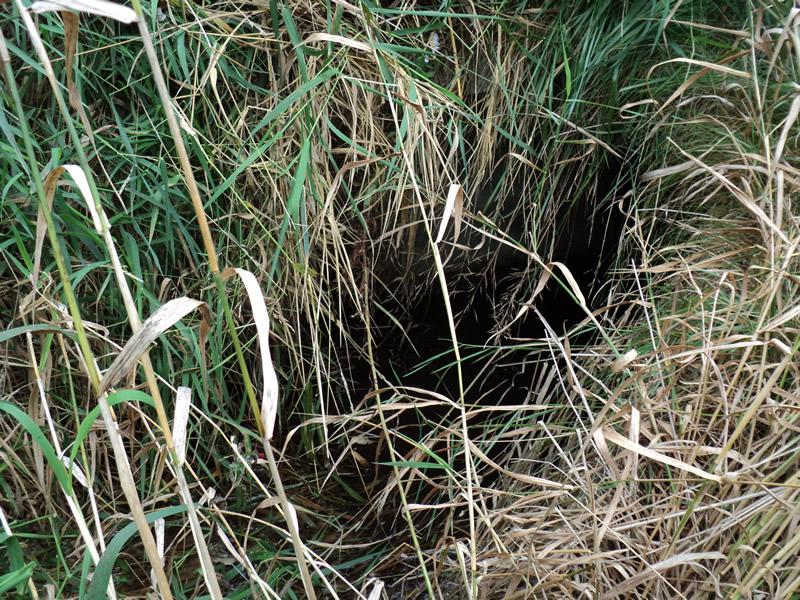
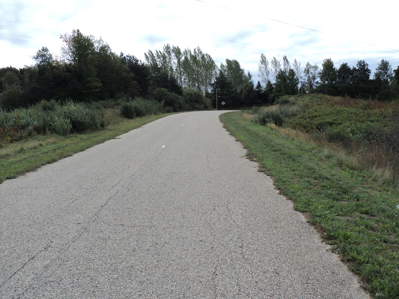
Inlet
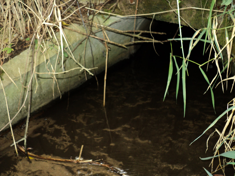
Outlet
Upstream Conditions
Downstream Conditions
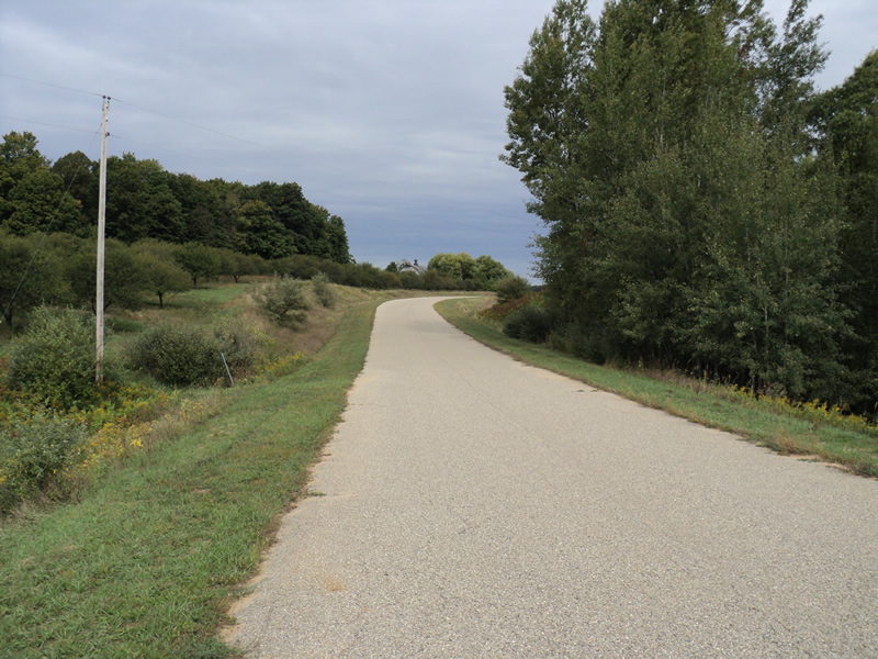
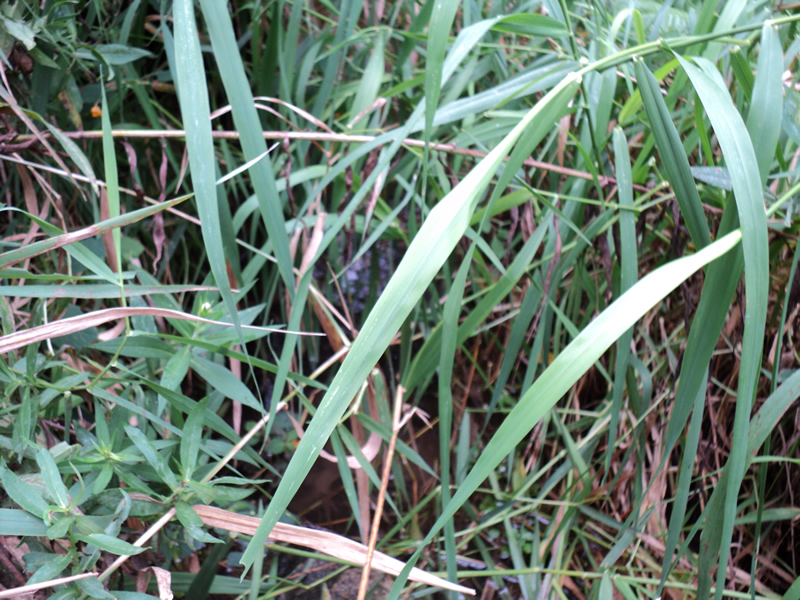
Road Approach - Left
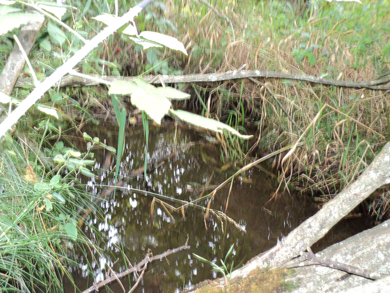
Road Approach - Right
Crossing Information
Type of Crossing: culvert(s)
Number of Structures: 1
Structure Shape: Round
Inlet Type: Apron
Outlet Type: Outlet Apron
Structure Material: Concrete
Structure Substrate: Sand
General Conditions: Good
Structure Interior: smooth
Dimensions of Structure: Length 130 ft.
, Width 3 ft.
, Height 3 ft.
Structure Inlet
Water Depth: 0.2 ft.
Water Velocity*: 0.4 ft./sec.
Structure Outlet
Water Depth: 0.2 ft.
Embedded Depth of Structure: 0.4 ft.
Water Velocity*: 0.5 ft./sec.
*Water Velocities were measured at the Surface
(with Meter)
Stream Information
Stream Flow: Less than 1/2 Bankfull
Riffle Information
Water Depth: 0.3 ft.
Bankfull Width: 6.5 ft.
Wetted Width: 2.5 ft.
Water Velocity: 0.4 ft./sec.
(Measured with Meter)
Dominant Substrate: Sand
Road Information
Paved
County Road
Road Condition: Fair
Road Width at Culvert: 21 ft.
Location of Low Point: At Stream
Runoff Path: Ditch
Embankments
Upstream
Fill Depth: 20 ft.
Slope: More than 1:2
Downstream
Fill Depth: 18 ft.
Slope: 1:2
Approaches
Left Approach
Length: 420 ft.
Slope: 6% to 10%
Vegetation: Heavy
LS Factor: 1.551
Erosion: 0.4522 tons/year
Right Approach
Length: 180 ft.
Slope: 1% to 5%
Vegetation: Heavy
LS Factor: 0.418
Erosion: 0.0522 tons/year
Erosion Information
Total Erosion at Crossing: 0.5045 tons/year
Extent of Erosion: Minor
Summary Information
Erosion is an area of concern for this site.
�