Road Stream Crossing Site PM_M141
Pere Marquette River Watershed, Pere Marquette tributary
Beaune Rd
Pere Marquette Twp,
Mason County
Information collected by:
Site Location
GPS Coordinates: 43.91187
, -86.40675
T18N
R18W
Sec 36
Owned by Private
Fish Passability 0
Perch Height: 0.3 ft.
Total Erosion: 2.5564 tons/year
Severity: Severe
Year Inventoried: 2014
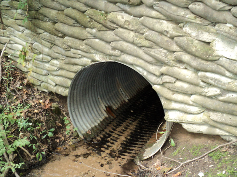
Inlet
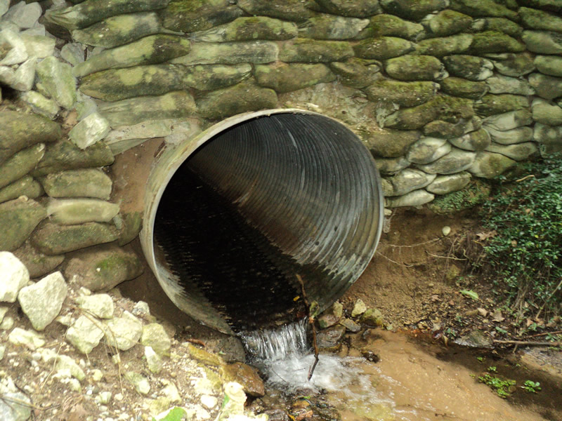
Outlet
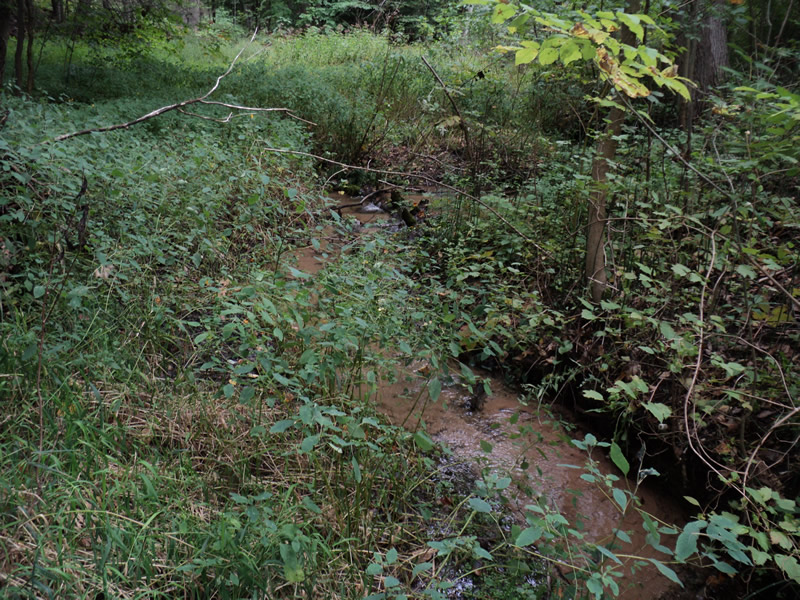
Upstream Conditions
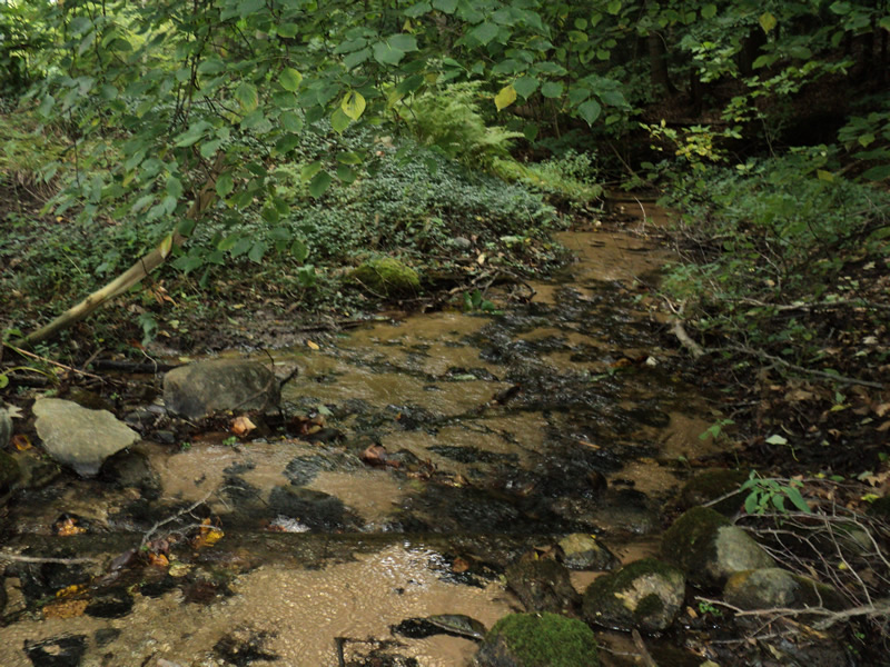
Downstream Conditions
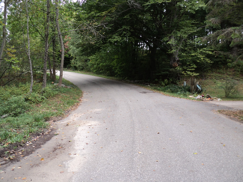
Road Approach - Left
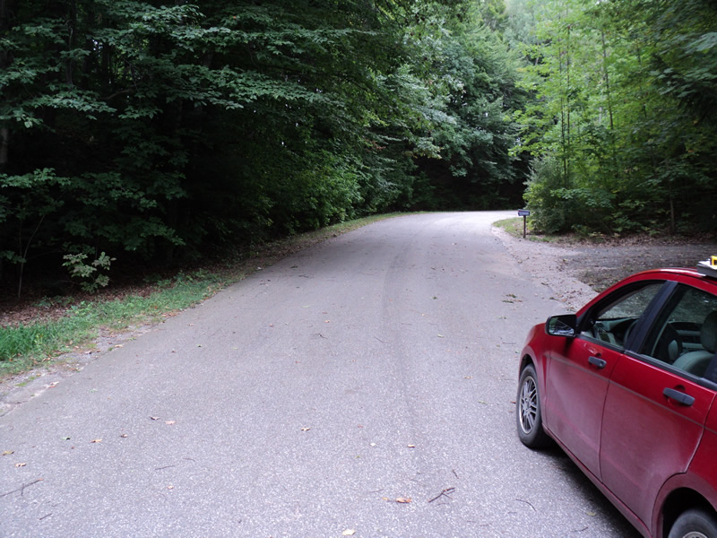
Road Approach - Right
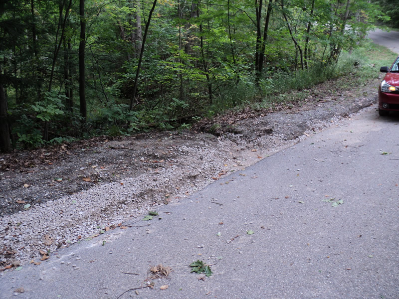
Erosion
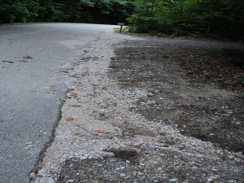
Erosion
Crossing Information
Type of Crossing: culvert(s)
Number of Structures: 1
Structure Shape: Round
Inlet Type: Headwall
Outlet Type: Freefall into Pool
Structure Material: Metal
Structure Substrate: None
General Conditions: Fair
Structure Interior: corrugated
Dimensions of Structure: Length 50 ft.
, Width 4 ft.
, Height 4 ft.
Perch Height: 0.3 ft.
Structure Inlet
Water Depth: 0.3 ft.
Water Velocity*: 1.4 ft./sec.
Structure Outlet
Water Depth: 0.1 ft.
Water Velocity*: 3.4 ft./sec.
*Water Velocities were measured at the Surface
(with Meter)
Additional Comments
Landowner Richard Schneider gave a long story on how the stream has been "dead" since 1985 when US-131 was constructed. During construction, heavy rains and a flood caused the creek to be filled with sand and it has been dead since. No fish, frogs, birds or wildlife. There was a sand trap put in but was emptied very infrequently and not in a long time.
Stream Information
Stream Flow: Less than 1/2 Bankfull
Riffle Information
Water Depth: 0.2 ft.
Bankfull Width: 5 ft.
Wetted Width: 3 ft.
Water Velocity: 0.8 ft./sec.
(Measured with Meter)
Dominant Substrate: Sand
Road Information
Paved
County Road
Road Condition: Good
Road Width at Culvert: 21 ft.
Location of Low Point: At Stream
Runoff Path: Roadway
Embankments
Upstream
Fill Depth: 7 ft.
Slope: 1:2
Downstream
Fill Depth: 7 ft.
Slope: 1:2
Approaches
Left Approach
Length: 180 ft.
Slope: 6% to 10%
Vegetation: Heavy
LS Factor: 1.186
Erosion: 0.1482 tons/year
Right Approach
Length: 180 ft.
Slope: 6% to 10%
Vegetation: Heavy
LS Factor: 1.186
Erosion: 0.1482 tons/year
Erosion Information
Total Erosion at Crossing: 2.5564 tons/year
Extent of Erosion: Severe
Notes: lots of road erosion. Landowner said the road commision is out there often to re-fill shoulders.
Location of Erosion | Erosion Dimensions | Eroded Material | Material Eroded | Total Erosion | ||
facing downstream | Length | Width | Depth | Reaching Stream? | (tons/year) | |
Right Approach |
180 ft. |
2 ft. |
0.2 ft. |
yes |
Gravel |
0.72 |
Left Approach |
350 ft. |
2 ft. |
0.2 ft. |
yes |
Sand |
1.54 |
Summary Information
Fish Passability 0
A future visit to this site is recommended. erosion and see comments above
�