Road Stream Crossing Site PM_M142
Pere Marquette River Watershed, Pere Marquette tributary
Pere Marquette Hwy
Pere Marquette Twp,
Mason County
Information collected by:
Site Location
GPS Coordinates: 43.91344
, -86.40115
T18N
R18W
Sec 36
Owned by Private
Fish Passability 0.5
Total Erosion: 0.7191 tons/year
Severity: Moderate
Year Inventoried: 2014
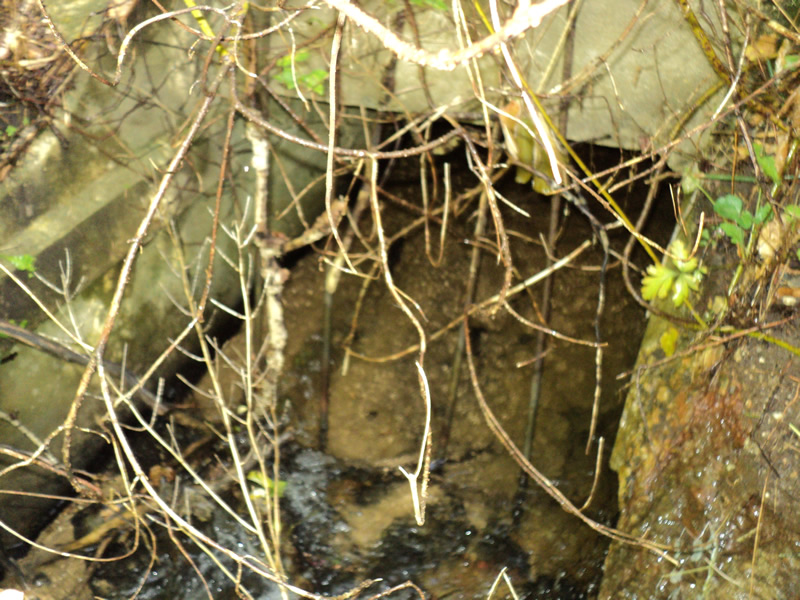
Inlet
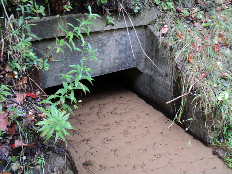
Outlet
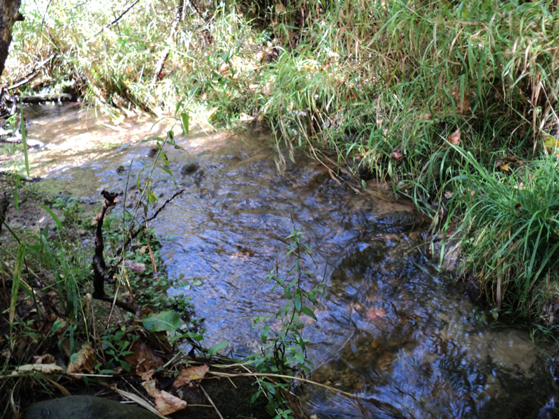
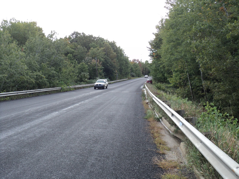
Upstream Conditions
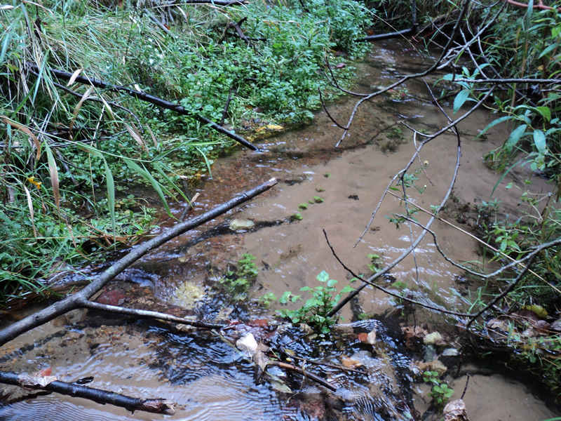
Downstream Conditions
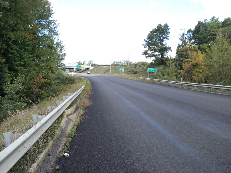
Road Approach - Left
Road Approach - Right
Crossing Information
Type of Crossing: culvert(s)
Number of Structures: 1
Structure Shape: Open Bottom Square/Rectangle
Inlet Type: Projecting
Outlet Type: At Stream Grade
Structure Material: Concrete
Structure Substrate: Sand
General Conditions: Good
Structure Interior: smooth
Dimensions of Structure: Length 130 ft.
, Width 4 ft.
, Height 3 ft.
Structure Inlet
Water Depth: 0.4 ft.
Water Velocity*: 2.9 ft./sec.
Structure Outlet
Water Depth: 0.3 ft.
Embedded Depth of Structure: 0.4 ft.
Water Velocity*: 1 ft./sec.
*Water Velocities were measured 0.2 ft. below Surface
(with Meter)
Stream Information
Stream Flow: Less than 1/2 Bankfull
Riffle Information
Water Depth: 0.3 ft.
Bankfull Width: 7 ft.
Wetted Width: 4 ft.
Water Velocity: 2.1 ft./sec.
(Measured with Meter)
Dominant Substrate: Gravel
Road Information
Paved
County Road
Road Condition: Good
Road Width at Culvert: 40 ft.
Location of Low Point: At Stream
Runoff Path: Roadway
Embankments
Upstream
Fill Depth: 28 ft.
Slope: 1:1.5
Downstream
Fill Depth: 32 ft.
Slope: 1:1
Approaches
Left Approach
Length: 390 ft.
Slope: 1% to 5%
Vegetation: Heavy
LS Factor: 0.478
Erosion: 0.2465 tons/year
Right Approach
Length: 600 ft.
Slope: 1% to 5%
Vegetation: Heavy
LS Factor: 0.52
Erosion: 0.4126 tons/year
Erosion Information
Total Erosion at Crossing: 0.7191 tons/year
Extent of Erosion: Minor
Location of Erosion | Erosion Dimensions | Eroded Material | Material Eroded | Total Erosion | ||
facing downstream | Length | Width | Depth | Reaching Stream? | (tons/year) | |
Right Approach |
600 ft. |
0.5 ft. |
0.1 ft. |
yes |
Gravel |
0.06 |
Summary Information
Fish Passability 0.5
�