Road Stream Crossing Site PM_M143
Pere Marquette River Watershed, Pere Marquette tributary
Conrad Rd
Amber Twp,
Mason County
Information collected by:
Site Location
GPS Coordinates: 43.93444
, -86.3985
T18N
R17W
Sec 19
Owned by Private
Total Erosion: 0.4259 tons/year
Severity: Minor
Year Inventoried: 2014
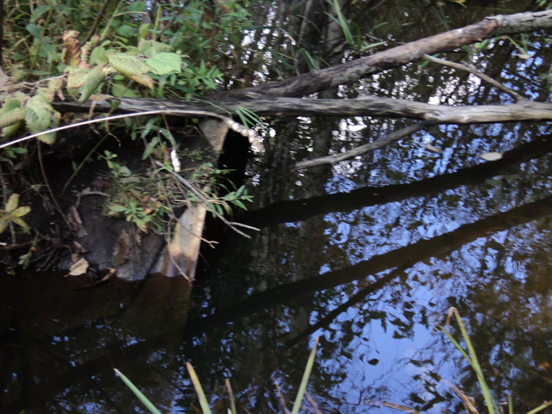
Inlet
Outlet
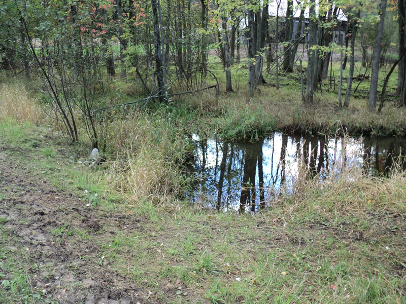
Upstream Conditions
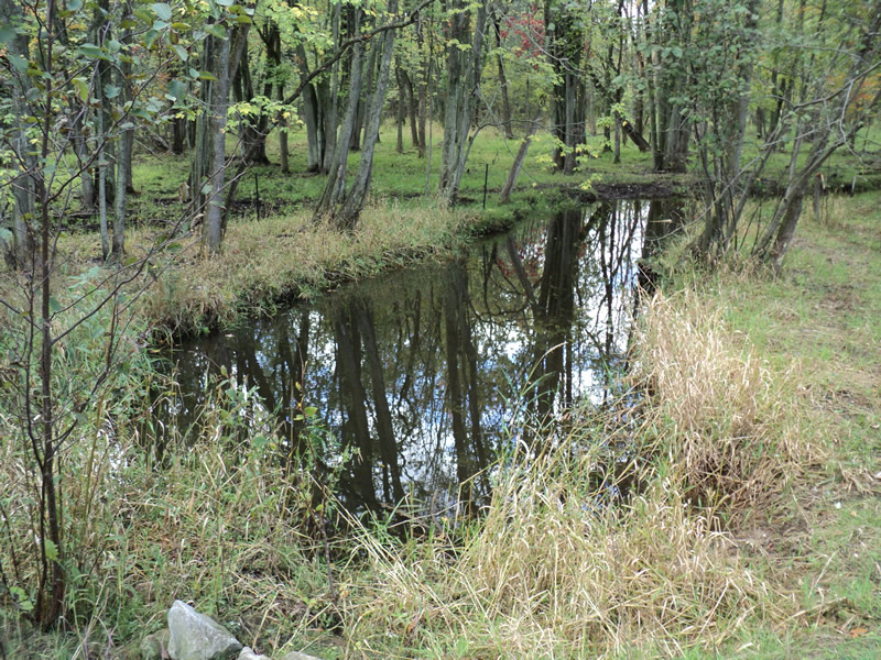
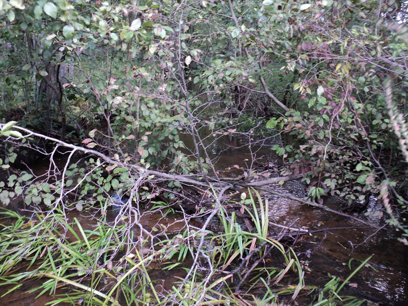
Downstream Conditions
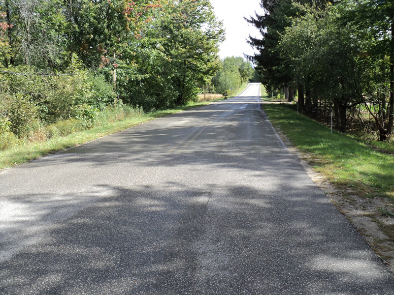
Road Approach - Left
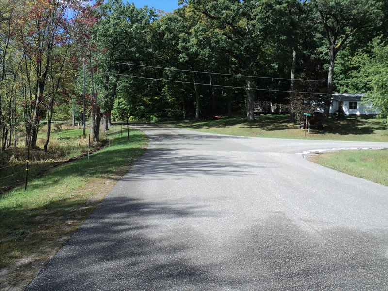
Road Approach - Right
Crossing Information
Type of Crossing: culvert(s)
Number of Structures: 1
Structure Shape: Pipe Arch
Inlet Type: Projecting
Outlet Type: At Stream Grade
Structure Material: Metal
Structure Substrate: Sand
General Conditions: Fair
Structure Interior: corrugated
Dimensions of Structure: Length 75 ft.
, Width 4 ft.
, Height 3 ft.
Structure Inlet
Water Depth: 2 ft.
Water Velocity*: 0 ft./sec.
Structure Outlet
Water Depth: 2.3 ft.
Water Velocity*: 0.1 ft./sec.
*Water Velocities were measured 2 ft. below Surface
(with Meter)
Additional Comments
Electric fence blocks access to outlet culvert length and outlet measurements are estimates.
Stream Information
Stream Flow: Less than Bankfull
Riffle Information
Water Depth: 0.4 ft.
Bankfull Width: 12 ft.
Wetted Width: 12 ft.
Water Velocity: 0.4 ft./sec.
(Measured with Meter)
Dominant Substrate: Sand
Road Information
Paved
County Road
Road Condition: Good
Road Width at Culvert: 23 ft.
Location of Low Point: At Stream
Runoff Path: Ditch
Embankments
Upstream
Fill Depth: 2.4 ft.
Slope: 1:2
Downstream
Fill Depth: 2.5 ft.
Slope: More than 1:2
Approaches
Left Approach
Length: 850 ft.
Slope: 1% to 5%
Vegetation: Heavy
LS Factor: 0.555
Erosion: 0.3587 tons/year
Right Approach
Length: 205 ft.
Slope: 1% to 5%
Vegetation: Heavy
LS Factor: 0.431
Erosion: 0.0672 tons/year
Erosion Information
Total Erosion at Crossing: 0.4259 tons/year
Extent of Erosion: Moderate
Summary Information
Erosion is an area of concern for this site.
�