Road Stream Crossing Site PM_M155
Pere Marquette River Watershed, Pere Marquette tributary
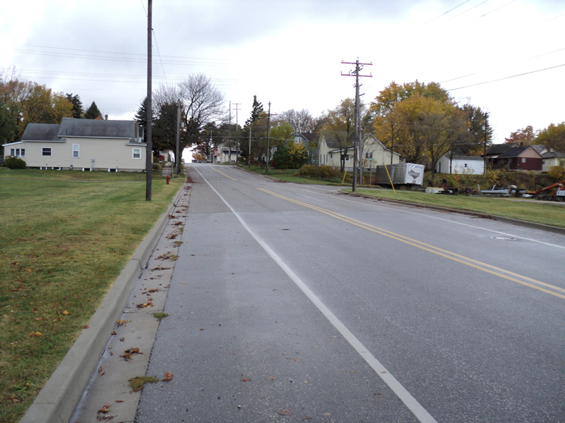
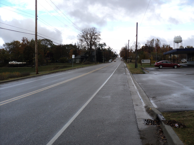
Madison St
Pere Marquette Twp,
Mason County
Information collected by:
Site Location
GPS Coordinates: 43.9477718541388
, -86.4365257322788
T18N
R18W
Sec 23
Owned by Private
Local Government
Local Government
Total Erosion: 0.1859 tons/year
Severity: Severe
Year Inventoried: 2014

Inlet
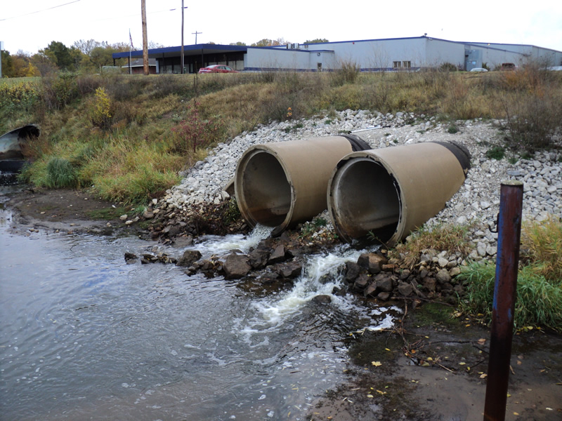
Outlet
Upstream Conditions
Downstream Conditions
Road Approach - Left
Road Approach - Right
Crossing Information
Type of Crossing: culvert(s)
Number of Structures: 2
Structure Shape: Round
Inlet Type: Projecting
Outlet Type: Cascade over Riprap
Structure Material: Concrete
Structure Substrate: Mixture
General Conditions: Good
Structure Interior: smooth
Dimensions of Structure: Length 112 ft.
, Width 5 ft.
, Height 5 ft.
Structure Inlet
Water Depth: 0.4 ft.
Embedded Depth of Structure: 0.3 ft.
Water Velocity*: 1.1 ft./sec.
Structure Outlet
Water Depth: 0.2 ft.
Water Velocity*: 6.6 ft./sec.
*Water Velocities were measured 0.2 ft. below Surface
(with Meter)
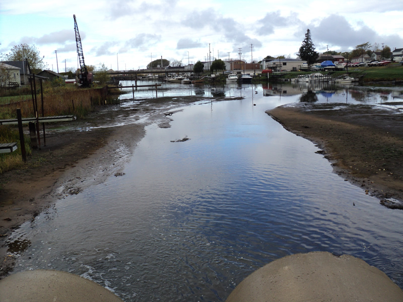
Additional Comments
Flows into PM Lake
Stream Information
Stream Flow: Less than 1/2 Bankfull
Riffle Information
Water Depth: 0.2 ft.
Bankfull Width: 18 ft.
Wetted Width: 14 ft.
Water Velocity: 1.2 ft./sec.
(Measured with Meter)
Dominant Substrate: Sand
Road Information
Paved
Town Road
Road Condition: Good
Road Width at Culvert: 38 ft.
Location of Low Point: At Stream
Runoff Path: Roadway
Embankments
Upstream
Fill Depth: 7 ft.
Slope: 1:1.5
Downstream
Fill Depth: 5 ft.
Slope: 1:1.5
Approaches
Left Approach
Length: 200 ft.
Slope: Less Than 1%
Vegetation: Heavy
LS Factor: 0.05
Erosion: 0.0126 tons/year
Right Approach
Length: 300 ft.
Slope: 1% to 5%
Vegetation: Heavy
LS Factor: 0.46
Erosion: 0.1734 tons/year
Erosion Information
Total Erosion at Crossing: 0.1859 tons/year
Extent of Erosion: Stabilized
Summary Information
Erosion is an area of concern for this site.
These non-native species were observerd at this site: Knapweed
�