Road Stream Crossing Site PM_M156
Pere Marquette River Watershed, Pere Marquette tributary
Taylor St
Pere Marquette Twp,
Mason County
Information collected by:
Site Location
GPS Coordinates: 43.9470679577085
, -86.4337114244699
T18N
R18W
Sec 23
Owned by Private
Local Government
Local Government
Total Erosion: 0.0384 tons/year
Severity: Moderate
Year Inventoried: 2014
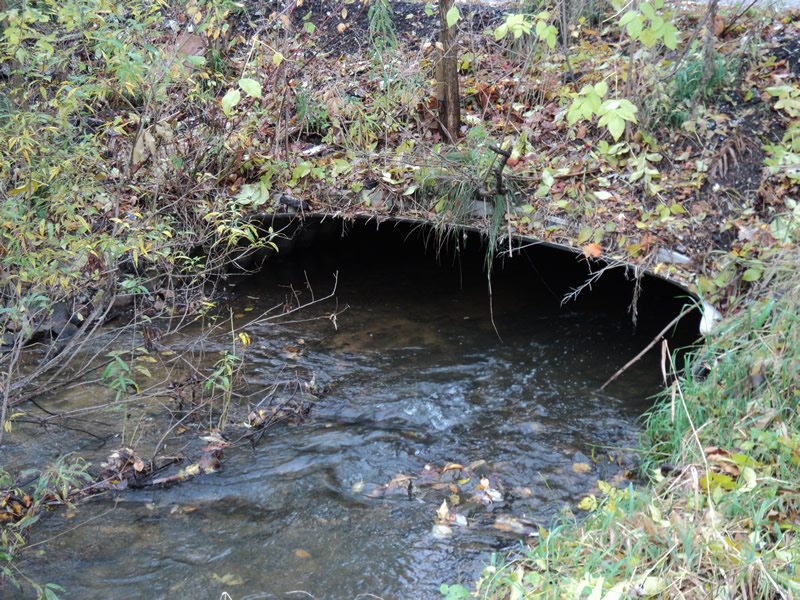
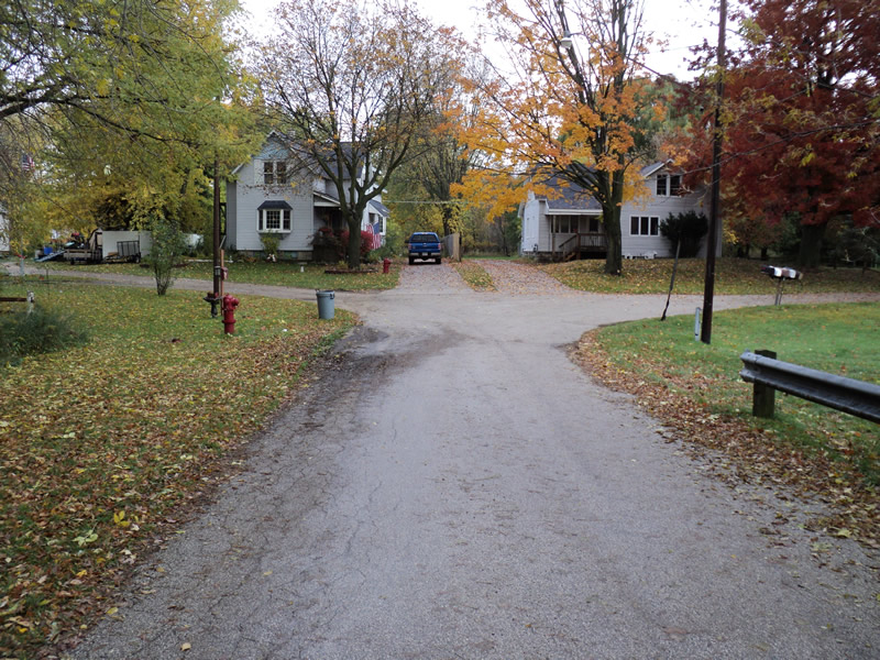
Inlet
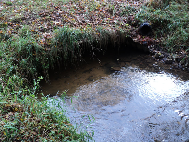
Outlet
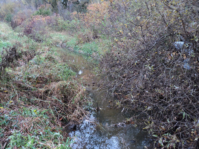
Upstream Conditions
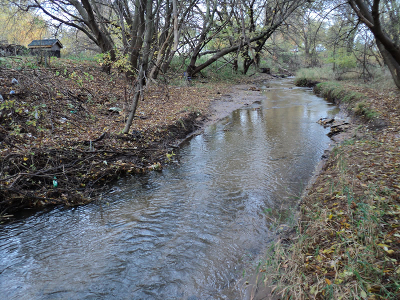
Downstream Conditions
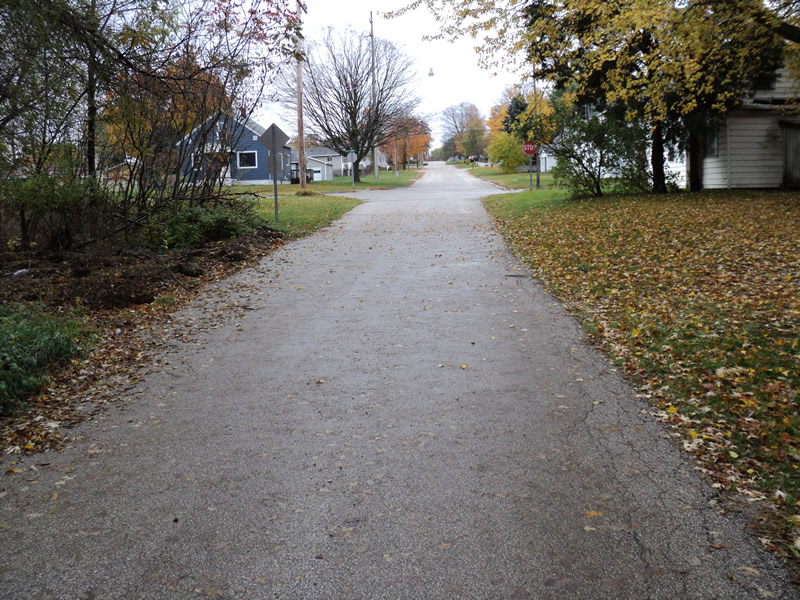
Road Approach - Left
Road Approach - Right
Crossing Information
Type of Crossing: culvert(s)
Number of Structures: 1
Structure Shape: Pipe Arch
Inlet Type: Mitered
Outlet Type: At Stream Grade
Structure Material: Metal
Structure Substrate: Mixture
General Conditions: Fair
Structure Interior: corrugated
Dimensions of Structure: Length 40 ft.
, Width 13 ft.
, Height 3 ft.
Structure Inlet
Water Depth: 0.7 ft.
Embedded Depth of Structure: 0.3 ft.
Water Velocity*: 0.9 ft./sec.
Structure Outlet
Water Depth: 0.6 ft.
Embedded Depth of Structure: 0.3 ft.
Water Velocity*: 0.6 ft./sec.
*Water Velocities were measured 0.4 ft. below Surface
(with Meter)
Stream Information
Stream Flow: Less than 1/2 Bankfull
Riffle Information
Water Depth: 0.4 ft.
Bankfull Width: 19 ft.
Wetted Width: 15 ft.
Water Velocity: 1 ft./sec.
(Measured with Meter)
Dominant Substrate: Sand
Road Information
Paved
Town Road
Road Condition: Fair
Road Width at Culvert: 16 ft.
Location of Low Point: At Stream
Runoff Path: Ditch
Embankments
Upstream
Fill Depth: 3 ft.
Slope: 1:1.5
Downstream
Fill Depth: 2.5 ft.
Slope: 1:2
Approaches
Left Approach
Length: 90 ft.
Slope: 1% to 5%
Vegetation: Heavy
LS Factor: 0.372
Erosion: 0.0177 tons/year
Right Approach
Length: 90 ft.
Slope: 1% to 5%
Vegetation: Heavy
LS Factor: 0.372
Erosion: 0.0177 tons/year
Erosion Information
Total Erosion at Crossing: 0.0384 tons/year
Extent of Erosion: Minor
Notes:
Asphalt pieces used to stabilize the embankment are eroding into the stream.
Location of Erosion | Erosion Dimensions | Eroded Material | Material Eroded | Total Erosion | ||
facing downstream | Length | Width | Depth | Reaching Stream? | (tons/year) | |
Right Upstream Embankment |
15 ft. |
4 ft. |
0.2 ft. |
yes |
Gravel |
0.003 |
Summary Information
Erosion is an area of concern for this site.
�